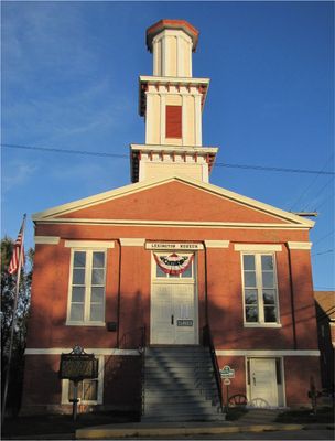
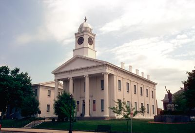
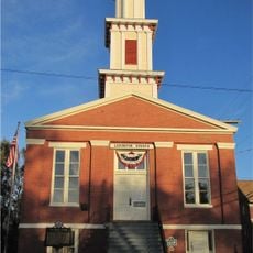
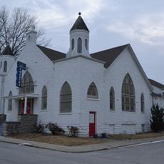
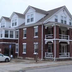
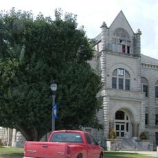
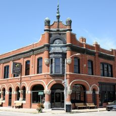
Lexington, Administrative division in Rockbridge County, United States
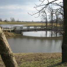
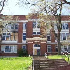
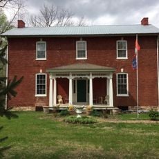
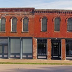
Lexington is a small city in the Shenandoah Valley region of Virginia, centered around a historic downtown with brick buildings spanning multiple centuries. The core district contains shops, restaurants, and institutions that form the heart of daily community life.
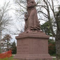
Founded in the late 1700s, the city took its name from the Massachusetts battle that sparked American independence. The Civil War brought significant military presence to the area, leaving traces in buildings and institutions that remain part of the town today.
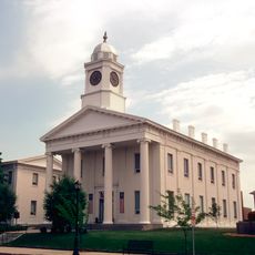
Washington and Lee University shapes daily life in town, drawing students and faculty from across the region. The presence of the university and nearby Virginia Military Institute creates an academic rhythm that influences local events, businesses, and public spaces.
The downtown area is walkable with parking available near main attractions and institutions. Plan for hilly terrain and wear comfortable shoes, as the layout requires some uphill walking between different parts of town.
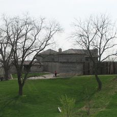
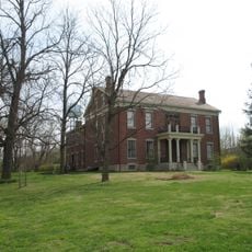
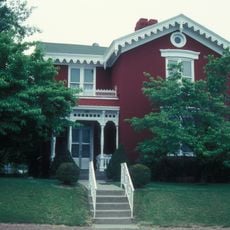
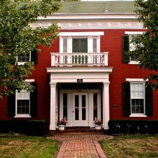
The Stonewall Jackson House preserves the home where the general lived while teaching at nearby Virginia Military Institute during the Civil War era. The restored residence offers views into how educated professionals lived in the mid-1800s.
Location: Lafayette County
Inception: 1822
Elevation above the sea: 259 m
Website: http://lexingtonmo.com
GPS coordinates: 39.18310,-93.87500
Latest update: December 20, 2025 15:44
Fort Osage
27.4 km
Powell Gardens
37.6 km
Battle of Lexington State Historic Site
1.1 km
Hall of Waters
34.7 km
Cumberland Presbyterian Church
417 m
Lafayette County Courthouse
502 m
Sibley Railroad Bridge
26.3 km
Wyman School
35.4 km
Odessa Ice Cream Company Building
22.2 km
Waddell House
91 m
Highland Avenue Historic District
150 m
Theodore Gosewisch House
3.2 km
First Methodist Church
35.1 km
Ligon Apartments
34.9 km
Carroll County Court House
38 km
Farmers Bank Building
21.7 km
Wilcoxson and Company Bank
38 km
Excelsior Springs Hall of Waters Commercial East Historic District
34.9 km
Ray County Courthouse
13.8 km
Watkins House
13.8 km
Excelsior Springs Hall of Waters Commercial West Historic District
35.9 km
Old Neighborhoods Historic District
278 m
Missouri City Savings Bank Building and Meeting Hall
36.7 km
Dougherty Auditorium
13.9 km
Ray County Poor Farm
14 km
Marjorie Powell Allen Chapel
37.3 km
Russell Sunflower Patch
26.4 km
Waverly Bridge
31.5 kmVisited this place? Tap the stars to rate it and share your experience / photos with the community! Try now! You can cancel it anytime.
Discover hidden gems everywhere you go!
From secret cafés to breathtaking viewpoints, skip the crowded tourist spots and find places that match your style. Our app makes it easy with voice search, smart filtering, route optimization, and insider tips from travelers worldwide. Download now for the complete mobile experience.
A unique approach to discovering new places❞
— Le Figaro
All the places worth exploring❞
— France Info
A tailor-made excursion in just a few clicks❞
— 20 Minutes