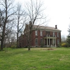
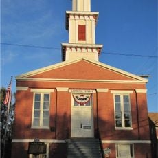
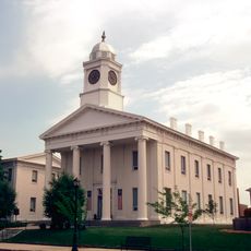
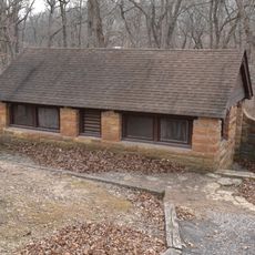
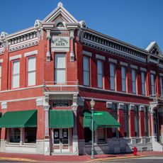
Johnson County, Administrative county in western Missouri, US
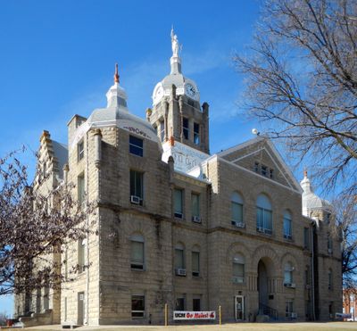
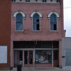
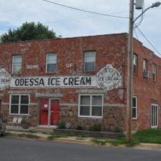
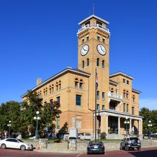
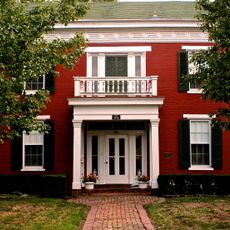
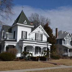
Johnson County is an administrative county in western Missouri that encompasses multiple municipalities with Warrensburg functioning as the county seat. The territory includes several towns and communities connected by state and federal routes throughout the region.
The county was established in 1834 by the Missouri State Legislature and named after Richard Mentor Johnson, a former Vice President of the United States. This creation was part of the broader administrative development of western Missouri during the early 1800s.
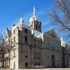
The University of Central Missouri in Warrensburg functions as the primary educational center for Johnson County's 54,013 residents.
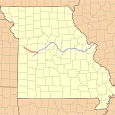
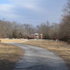
U.S. Route 50 and several Missouri highways connect the area to neighboring regions and larger cities. Warrensburg in the center serves as a logical starting point for exploring the various communities throughout the county.
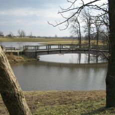
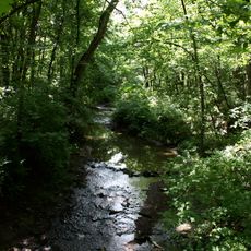
The county territory contains 829 square miles of land mass and 3.9 square miles of water bodies, maintaining a density of 58 people per square mile.
Location: Missouri
Inception: 1834
Capital city: Warrensburg
Shares border with: Lafayette County, Henry County, Pettis County, Jackson County, Cass County
Website: http://jococourthouse.com
GPS coordinates: 38.75000,-93.81000
Latest update: December 7, 2025 19:26
Powell Gardens
24.2 km
Knob Noster State Park
18.3 km
Rock Island Trail State Park
33.8 km
Battle of Lexington State Historic Site
49.6 km
Cumberland Presbyterian Church
48.8 km
510th Missile Squadron
22.8 km
Lafayette County Courthouse
48.8 km
509th Missile Squadron
22.8 km
Building at 217 West Main Street
49.6 km
Johnson County Courthouse
6.3 km
William H. Gentry House
47.9 km
Odessa Ice Cream Company Building
29.8 km
Waddell House
48.6 km
Howard School
7.5 km
Harrisonville Courthouse Square Historic District
48 km
Highland Avenue Historic District
48.7 km
Theodore Gosewisch House
45.9 km
Jones Brothers Mule Barn
6.4 km
Johnson County Courthouse
5.4 km
Warren Street Methodist Episcopal Church
5.8 km
Old Neighborhoods Historic District
48.8 km
Garden of Eden Station
7.5 km
Grover Street Victorian Historic District
6.5 km
Montserrat Recreational Demonstration Area Bridge
20.2 km
Montserrat Recreational Demonstration Area Rock Bath House
19.6 km
Marjorie Powell Allen Chapel
24 km
Henry County Museum
42.3 km
Missouri State Fair
48.3 kmVisited this place? Tap the stars to rate it and share your experience / photos with the community! Try now! You can cancel it anytime.
Discover hidden gems everywhere you go!
From secret cafés to breathtaking viewpoints, skip the crowded tourist spots and find places that match your style. Our app makes it easy with voice search, smart filtering, route optimization, and insider tips from travelers worldwide. Download now for the complete mobile experience.
A unique approach to discovering new places❞
— Le Figaro
All the places worth exploring❞
— France Info
A tailor-made excursion in just a few clicks❞
— 20 Minutes