Enable Location

We need your location to show you interesting places around you

Discover nearby places

Find interesting locations and hidden gems around you

Precise directions

Get accurate directions and distances to places

Your location is never shared with other users. It's only used when you tap the location button.

Monroe County

Log in to your account

Start exploring — it's free

Trusted by 61,903 travelers worldwide

Continue with Google
Continue with Apple
or

We will send you a code to connect

By continuing, you accept our Terms and Conditions and our Privacy Policy

Check your inbox

We've sent a pincode in your inbox. Please enter the code below.

Monroe County, County seat in northern Missouri, United States.

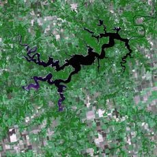
Monroe County is an administrative division in northern Missouri located between the Mississippi and Missouri Rivers. The territory contains farmland, rolling terrain, and several small communities spread across the region.

Missouri's state legislature created this county on January 6, 1831, naming it after the fifth U.S. President. The formation reflected the region's development as settlers expanded into northern Missouri territories.

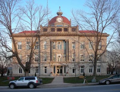
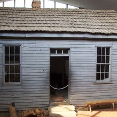
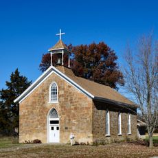
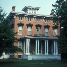
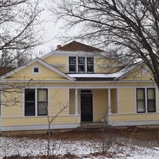
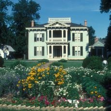
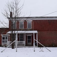
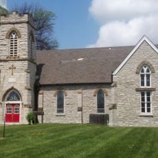
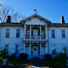
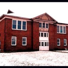
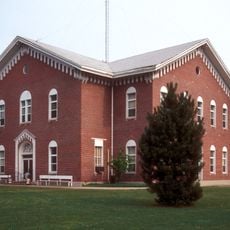
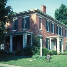
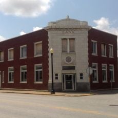
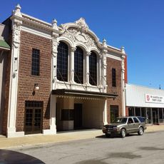
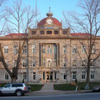
The courthouse and other historic buildings in Paris display mid-nineteenth century architectural styles that shape how the towns look today. These structures reflect how people built important places during that era.

Visitors can access county administrative services in Paris, the seat of government, during standard business hours. Plan ahead as the county is best explored by car, with communities scattered across the landscape.

The territory sits framed by two major rivers, which shapes its geography and influences agricultural patterns. This location between two river valleys has defined how the region developed since its establishment.

The community of curious travelers

AroundUs brings together thousands of curated places, local tips, and hidden gems, enriched daily by 60,000 contributors worldwide.

Start exploring
Location
Inception
January 6, 1831
Capital city
Paris
Shares border with
Shelby County, Ralls County, Audrain County, Marion County, Randolph County, Macon County
GPS coordinates
39.50000,-92.00000
Latest update
December 7, 2025 20:41
Around this place
Mark Twain Birthplace State Historic Site
United States of America

Mark Twain Birthplace State Historic Site

18.4 km
Mark Twain State Park
United States of America

Mark Twain State Park

17.1 km
Finger Lakes State Park
United States of America

Finger Lakes State Park

53.3 km
Union Covered Bridge State Historic Site
United States of America

Union Covered Bridge State Historic Site

11.5 km
Albert Bishop Chance House and Gardens
United States of America

Albert Bishop Chance House and Gardens

34.3 km
Wardell House
United States of America

Wardell House

49 km
Chatol
United States of America

Chatol

34.9 km
Mount Zion Church and Cemetery
United States of America

Mount Zion Church and Cemetery

50.4 km
Walker-Woodward-Schaffer House
United States of America

Walker-Woodward-Schaffer House

51.9 km
St. Paul Catholic Church
United States of America

St. Paul Catholic Church

33.9 km
Benjamin House
United States of America

Benjamin House

21.5 km
Merritt Violette House
United States of America

Merritt Violette House

18.5 km
Ross House
United States of America

Ross House

38.1 km
Paris Male Academy
United States of America

Paris Male Academy

2 km
Arthur Simmons Stables Historic District
United States of America

Arthur Simmons Stables Historic District

38.6 km
Moberly Junior High School
United States of America

Moberly Junior High School

39.2 km
Audrain County Courthouse
United States of America

Audrain County Courthouse

37.8 km
St. Jude's Episcopal Church
United States of America

St. Jude's Episcopal Church

28.5 km
Burkholder-O'Keefe House
United States of America

Burkholder-O'Keefe House

39.1 km
Lincoln School
United States of America

Lincoln School

48.8 km
Macon County Courthouse and Annex
United States of America

Macon County Courthouse and Annex

48.7 km
Speigle House
United States of America

Speigle House

52.5 km
Moberly Commercial Historic District
United States of America

Moberly Commercial Historic District

39.1 km
Farmers and Merchants Bank Building
United States of America

Farmers and Merchants Bank Building

28.4 km
Mark Twain State Park Picnic Shelter at Buzzard's Roost
United States of America

Mark Twain State Park Picnic Shelter at Buzzard's Roost

18 km
Mark Twain Birthplace State Historic Site
United States of America

Mark Twain Birthplace State Historic Site

18.5 km
4th Street Theatre
United States of America

4th Street Theatre

39 km
Mark Twain Lake
United States of America

Mark Twain Lake

23.9 km
Show the full map
Administrative divisions
« Monroe County - County seat in northern Missouri, United States » is provided by Around Us (aroundus.com). Images and texts are derived from Wikimedia project under a Creative Commons license. You are allowed to copy, distribute, and modify copies of this page, under the conditions set by the license, as long as this note is clearly visible.

Discover hidden gems everywhere you go!

From secret cafés to breathtaking viewpoints, skip the crowded tourist spots and find places that match your style. Our app makes it easy with voice search, smart filtering, route optimization, and insider tips from travelers worldwide. Download now for the complete mobile experience.

Around Us App Screenshot

A unique approach to discovering new places

Le Figaro

All the places worth exploring

France Info

A tailor-made excursion in just a few clicks

20 Minutes

Around Us
Travel Guide & Maps
Download

Send to your phone

QR Code
1

Open the camera app on your mobile.

2

Point at the QR code with your camera. A notification will appear.

3

Tap the notification to open the link.