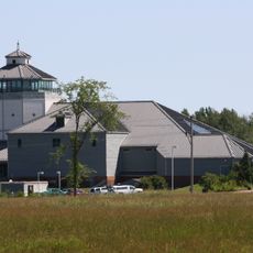
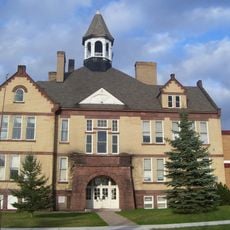
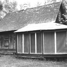
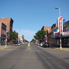
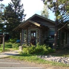
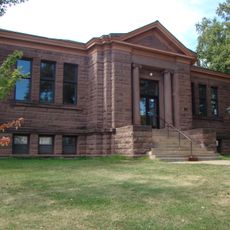
Bayfield County, County seat in Wisconsin, United States
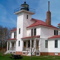
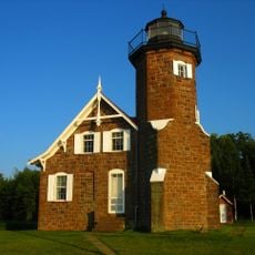
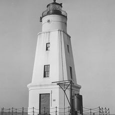
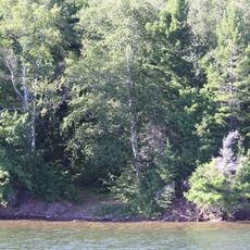
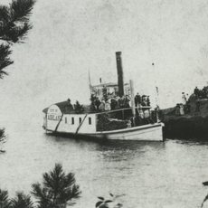
Bayfield County covers a large area with shoreline along Lake Superior and includes portions of a national lakeshore park and forest lands. The region blends water-based geography with inland woodlands and protected natural areas.
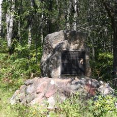
The territory was founded in 1845 under a different name and received its current name in 1866 following an administrative division. This renaming was part of the reorganization of regional county boundaries in the 1800s.
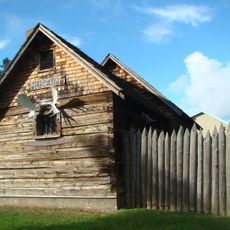
The Red Cliff Band of Lake Superior Chippewa operates a reservation within the county, shaping community life through their traditions and presence. Visitors can experience this cultural dimension reflected in the region's daily life.
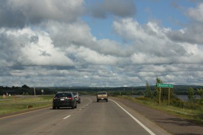
The county is accessible via major highways and has a regional airport for visitors traveling from greater distances. When planning a visit, consider the season, as winter months can make conditions more difficult.
The area contains multiple nationally protected natural spaces, including an island archipelago in the lake and a large forest preserve. These three different protected areas make the region a mosaic of different ecosystems.
The community of curious travelers
AroundUs brings together thousands of curated places, local tips, and hidden gems, enriched daily by 60,000 contributors worldwide.