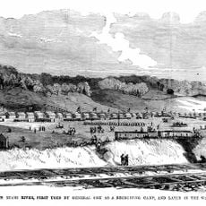
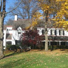
Columbia Township, township in Hamilton County, Ohio, United States
Location: Hamilton County
Inception: 1791
Elevation above the sea: 174 m
Shares border with: Millcreek Township
Website: https://columbiatwp.org
GPS coordinates: 39.14944,-84.38417
Latest update: March 10, 2025 02:24
Cincinnati Observatory
3.5 km
Camp Dennison
9.3 km
Ault Park
3 km
Gerald B. and Beverley Tonkens House
5.8 km
Mushroom House
3.5 km
Losantiville Country Club
5.6 km
Madisonville Site
1.1 km
Stanley M. Rowe Arboretum
6.7 km
Gatch Site
8.5 km
Odd Fellows' Cemetery Mound
3.5 km
20th Century Theatre
4.2 km
Turpin Site
3.1 km
Eliphalet Ferris House
561 m
Old Armstrong Chapel
3.4 km
Eastwood Historic District
2.8 km
Observatory Historic District
3.6 km
William Edwards Farmhouse
4.4 km
Jefferson Schoolhouse
3.5 km
Cyrus Broadwell House
6.7 km
James Baxter House
6.4 km
Joseph Ferris House
1.1 km
Ayres L. Bramble House
437 m
Gordon E. Pape House
8.2 km
Madison-Stewart Historic District
1.7 km
Best Western Mariemont Inn
908 m
Martin House
3 km
Harrison-Landers House
3 km
Blome Road Bridge
8.3 kmReviews
Visited this place? Tap the stars to rate it and share your experience / photos with the community! Try now! You can cancel it anytime.
Discover hidden gems everywhere you go!
From secret cafés to breathtaking viewpoints, skip the crowded tourist spots and find places that match your style. Our app makes it easy with voice search, smart filtering, route optimization, and insider tips from travelers worldwide. Download now for the complete mobile experience.
A unique approach to discovering new places❞
— Le Figaro
All the places worth exploring❞
— France Info
A tailor-made excursion in just a few clicks❞
— 20 Minutes