
Jennings County, County and administrative division in Indiana, United States.
Jennings County spans across 378 square miles of farmland and woodlands, containing two incorporated towns: Vernon and North Vernon.
The county received its name from Jonathan Jennings, Indiana's first governor, and was officially established on December 27, 1816.
The Jennings County Public Library system maintains branches that provide educational resources and programs for residents throughout the region.
The county government operates through a County Council managing budgets and taxes, while a Board of Commissioners supervises daily operations.
The county sits at the center of a triangle formed by three major cities: Indianapolis, Cincinnati, and Louisville.
Location: Indiana
Inception: December 27, 1816
Capital city: Vernon
Shares border with: Decatur County, Scott County, Ripley County, Jefferson County, Bartholomew County, Jackson County
Website: https://jenningscounty-in.gov
GPS coordinates: 39.00000,-85.63000
Latest update: March 10, 2025 23:22

Muscatatuck Urban Training Center
9.9 km
Freeman Field Mutiny
25.5 km
Big Oaks National Wildlife Refuge
20.7 km
Muscatatuck National Wildlife Refuge
17.1 km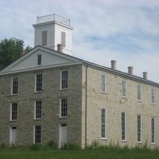
Eleutherian College
21.2 km
Mabel McDowell Adult Education Center
31.9 km
Bell Ford Covered Bridge
26.1 km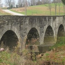
Straber Ford Bridge
28.4 km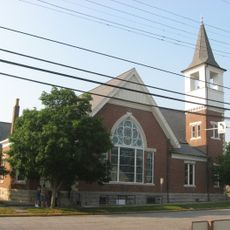
First Presbyterian Church
23.1 km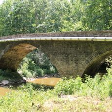
Collin's Ford Bridge
22.5 km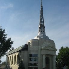
Tyson United Methodist Church
33.5 km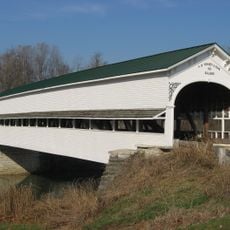
Westport Covered Bridge
19.9 km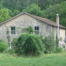
Lyman and Asenath Hoyt House
20.9 km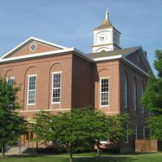
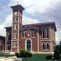
Ripley County Courthouse
33.7 km
Versailles School and Tyson Auditorium
33.4 km
Annadale
1.4 km
Bartholomew County Annex building
32.1 km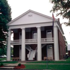
Rising Sun Historic District
20.1 km
Farmers Club
22.9 km
George H. Vehslage House
23.1 km
Seymour Commercial Historic District
22.9 km
T. Harlan and Helen Montgomery House
23.2 km
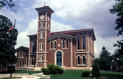
Vernon Historic District
2.5 km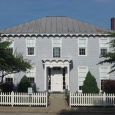
Fernando G. Taylor House
33.7 km
Hayden Historical Museum
9.3 km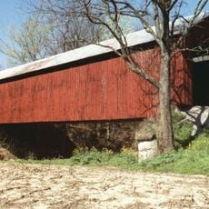
James Covered Bridge
12 km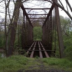
Clifty Creek Bridge
29.3 km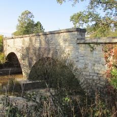
Shepard Bridge
24.2 kmReviews
Visited this place? Tap the stars to rate it and share your experience / photos with the community! Try now! You can cancel it anytime.
Discover hidden gems everywhere you go!
From secret cafés to breathtaking viewpoints, skip the crowded tourist spots and find places that match your style. Our app makes it easy with voice search, smart filtering, route optimization, and insider tips from travelers worldwide. Download now for the complete mobile experience.

A unique approach to discovering new places❞
— Le Figaro
All the places worth exploring❞
— France Info
A tailor-made excursion in just a few clicks❞
— 20 Minutes