Ogallala

Log in to your account

AroundUs is a community-driven map of interesting places, built by curious explorers like you. It grows with every review, story, and photo you share.
Connect to save your favorite spots, contribute locations, and create personalized routes.
By continuing, you accept our Terms and Conditions and our Privacy Policy
Add to collection
Map
Suggest a change
Share

Ogallala, County seat in Keith County, Nebraska, United States

Ogallala is a city in Keith County, Nebraska, situated along the Union Pacific Railroad line through western Nebraska. The town sits at about 3,220 feet (982 meters) elevation and is organized around the railroad tracks that run through it.

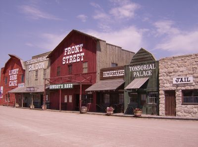
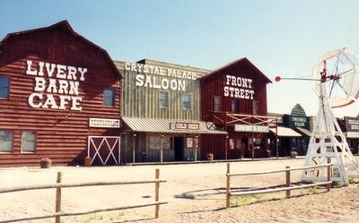
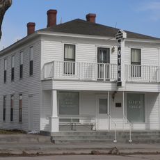
The arrival of the Union Pacific Railroad in 1867 transformed Ogallala into a major hub for cattle drives from Texas along the Great Western Trail. This railroad connection turned the location into a center of trade and transport that shaped the town's early growth.

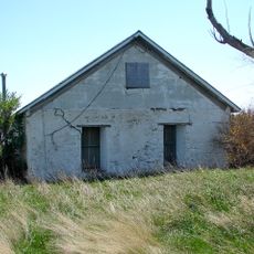
The Petrified Wood Gallery displays minerals and fossils from the region, while the Fort Sedgwick Museum holds objects that tell the story of settlement and frontier life. Both places help visitors understand how people lived and what they valued in this part of Nebraska.

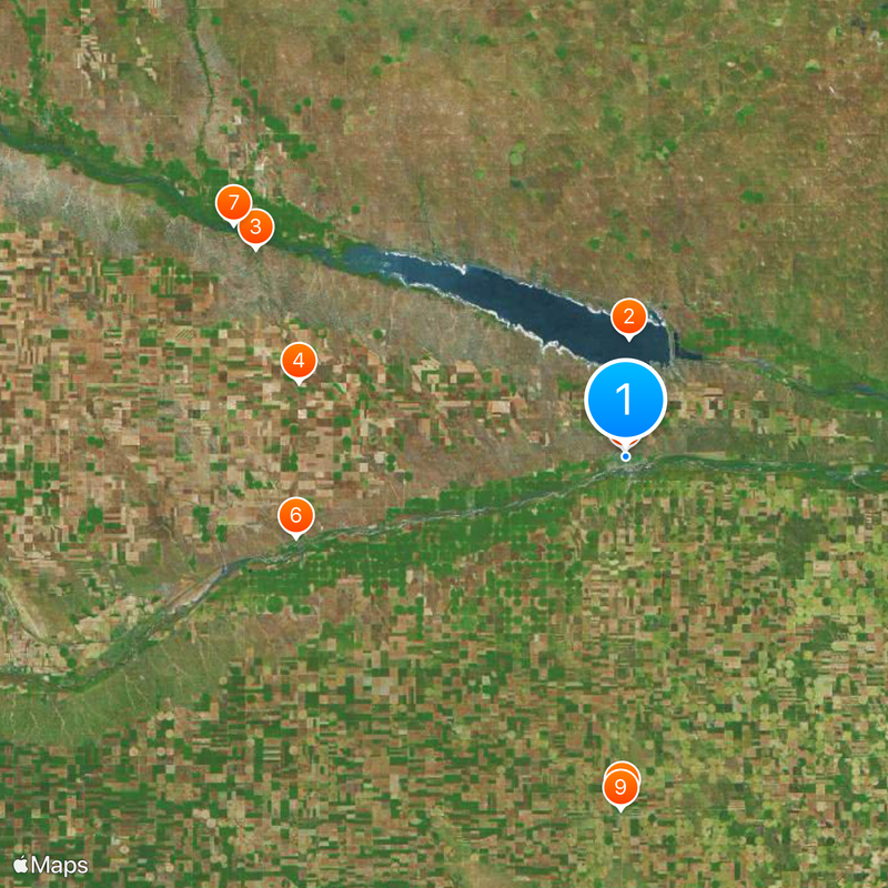
Ogallala sits where Interstate 80, U.S. Highway 26, and U.S. Highway 30 intersect, making it easy to reach and to travel onward to neighboring states and larger cities. These major routes connect the town to the broader region and provide convenient access for visitors.

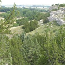
The Ogallala Formation, which lies beneath the town and surrounding region, is named after this location and holds one of North America's largest underground water reserves. This vast aquifer supplies water to farms and communities across a wide area.

Location: Keith County

Inception: 1868

Elevation above the sea: 982 m

Website: http://ogallala-ne.gov

GPS coordinates: 41.12889,-101.71944

Latest update: December 12, 2025 06:52

Photos
Around this place
Show the full map
Lake McConaughy
United States of America

Lake McConaughy

10.7 km
Ash Hollow State Historical Park
United States of America

Ash Hollow State Historical Park

38.5 km
Wallace W. Waterman Sod House
United States of America

Wallace W. Waterman Sod House

30.4 km
Grant City Park
United States of America

Grant City Park

31.3 km
Phelps Hotel
United States of America

Phelps Hotel

30.8 km
Lewellen State Aid Bridge
United States of America

Lewellen State Aid Bridge

41.2 km
Leonidas A. Brandhoefer Mansion
United States of America

Leonidas A. Brandhoefer Mansion

534 m
Grant Commercial Historic District
United States of America

Grant Commercial Historic District

32 km
Perkins County Courthouse
United States of America

Perkins County Courthouse

32 km
Dr. Burdette and Myrna Gainsforth House
United States of America

Dr. Burdette and Myrna Gainsforth House

897 m
Diamond Springs Stage Station Site
United States of America

Diamond Springs Stage Station Site

16.5 km
Signal Bluff
United States of America

Signal Bluff

48.5 km
Eagle Point
United States of America

Eagle Point

35.5 km
Great Platte River Road Historical Marker
United States of America

Great Platte River Road Historical Marker

42.6 km
Kingsley Dam Eagle Viewing Facility
United States of America

Kingsley Dam Eagle Viewing Facility

10.1 km
Julesburg and Fort Sedgwick Historical Marker
United States of America

Julesburg and Fort Sedgwick Historical Marker

42.6 km
Big Springs Historical Marker
United States of America

Big Springs Historical Marker

42.5 km
Ash Hollow Historical Marker
United States of America

Ash Hollow Historical Marker

9.8 km
Ogallala Historical Marker
United States of America

Ogallala Historical Marker

9.8 km
Court House Chimney Rock and Scotts Bluff Historical Marker
United States of America

Court House Chimney Rock and Scotts Bluff Historical Marker

9.7 km
Petrified Wood Gallery
United States of America

Petrified Wood Gallery

615 m
Mansion on the Hill
United States of America

Mansion on the Hill

486 m
Lake McConaughy Visitors Center and Water Interpretive Center
United States of America

Lake McConaughy Visitors Center and Water Interpretive Center

9.2 km
Petrified Wood Art Gallery
United States of America

Petrified Wood Art Gallery

591 m
Cedar View Beach
United States of America

Cedar View Beach

25.2 km
Ogallala Beach

Ogallala Beach

8.5 km
Ogallala KOA
United States of America

Ogallala KOA

2 km
Scenic viewpoint
United States of America

Scenic viewpoint

42.6 km
Show the full map
Reviews

Visited this place? Tap the stars to rate it and share your experience / photos with the community! Try now! You can cancel it anytime.

« Ogallala - County seat in Keith County, Nebraska, United States » is provided by Around Us (aroundus.com). Images and texts are derived from Wikimedia project under a Creative Commons license. You are allowed to copy, distribute, and modify copies of this page, under the conditions set by the license, as long as this note is clearly visible.

Discover hidden gems everywhere you go!

From secret cafés to breathtaking viewpoints, skip the crowded tourist spots and find places that match your style. Our app makes it easy with voice search, smart filtering, route optimization, and insider tips from travelers worldwide. Download now for the complete mobile experience.

Around Us App Screenshot

A unique approach to discovering new places

Le Figaro

All the places worth exploring

France Info

A tailor-made excursion in just a few clicks

20 Minutes