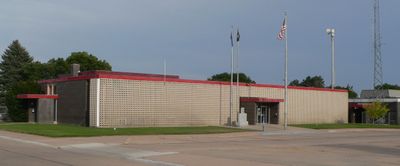
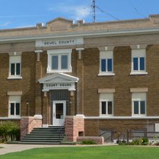
Keith County, Administrative county in Nebraska, United States.
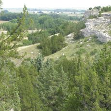
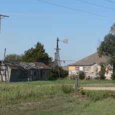
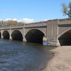
Keith County is an administrative county in Nebraska that stretches across rolling agricultural lands with the North Platte River flowing through its northern section. The river serves as a natural feature that influences both the landscape and local water resources.
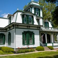
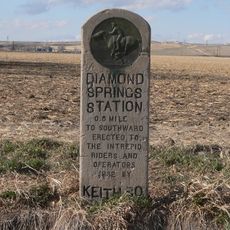
The territory was established in 1873 and may have been named after M.C. Keith of North Platte, whose descendant Keith Neville later became Nebraska's governor. This family connection reflects how local figures influenced the region's early development.
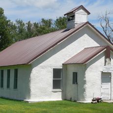
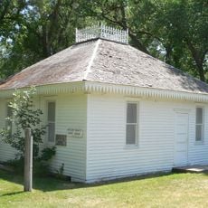
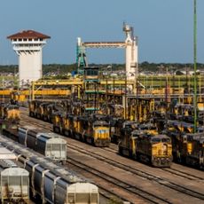
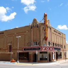
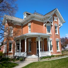
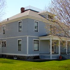
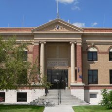
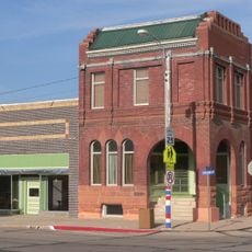
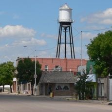
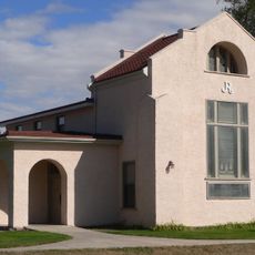
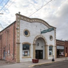
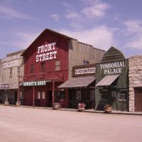
The county seat of Ogallala reflects the historical importance of railroads and cattle ranching through its museums and local sites that tell these stories. Visitors encounter remnants of this heritage woven into the community's identity.
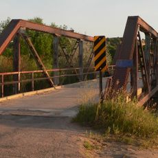
The county operates on Mountain Time, making it the easternmost Nebraska county using this time zone, and Interstate 80 crosses through its territory. This highway provides the main route for travelers moving through the region.
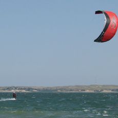
Lake McConaughy, Nebraska's largest reservoir, stretches across the northern portion of the county and draws visitors for boating, fishing, and swimming. This body of water stands out as a major recreation destination in an otherwise dry landscape.
The community of curious travelers
AroundUs brings together thousands of curated places, local tips, and hidden gems, enriched daily by 60,000 contributors worldwide.