
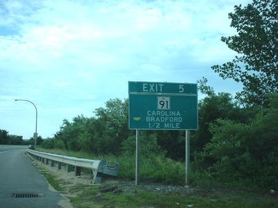
Rhode Island Route 78, highway in Rhode Island
Location: Rhode Island
Inception: 1979
Part of: Westerly Bypass
GPS coordinates: 41.39420,-71.82209
Latest update: September 23, 2025 13:01
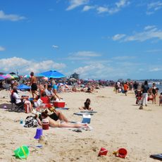
Misquamicut State Beach
8.1 km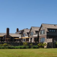
Weekapaug Inn
9.3 km
Wilcox Park
1.9 km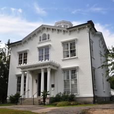
Capt. Nathaniel B. Palmer House
9.2 km
Tomaquag Rock Shelters
6.3 km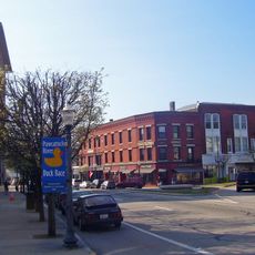
Westerly Downtown Historic District
2 km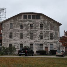
Mechanic Street Historic District
2.5 km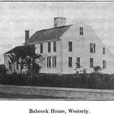
Babcock-Smith House
2.6 km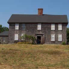
Robert Stanton House
7.1 km
John Randall House
4 km
Hopkinton City Historic District
8.3 km
North Stonington Village Historic District
7.2 km
Westerly Armory
1.4 km
Main Street Historic District
2.4 km
John Palmer House
9.2 km
North End Historic District
830 m
Oak's Inn Military Reservation
6.9 km
Samuel Miner House
8.4 km
Perry Homestead Historic District
2.9 km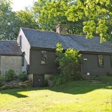
Lewis-Card-Perry House
4.1 km
Westerly Town Beach
8.1 km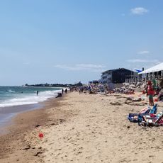
Misquamicut Fire District Beach
8.2 km
East Beach
9.3 km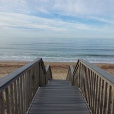
Westerly Town Beach
8.5 km
Seaside Beach Club Beach
8.6 km
Bradford Village Historic District
5.9 km
Dunes Park Beach
8.7 km
Fenway Beach
8.9 kmReviews
Visited this place? Tap the stars to rate it and share your experience / photos with the community! Try now! You can cancel it anytime.
Discover hidden gems everywhere you go!
From secret cafés to breathtaking viewpoints, skip the crowded tourist spots and find places that match your style. Our app makes it easy with voice search, smart filtering, route optimization, and insider tips from travelers worldwide. Download now for the complete mobile experience.

A unique approach to discovering new places❞
— Le Figaro
All the places worth exploring❞
— France Info
A tailor-made excursion in just a few clicks❞
— 20 Minutes