Enable Location

We need your location to show you interesting places around you

Discover nearby places

Find interesting locations and hidden gems around you

Precise directions

Get accurate directions and distances to places

Your location is never shared with other users. It's only used when you tap the location button.

Westerly Downtown Historic District

Log in to your account

Start exploring — it's free

Trusted by 61,459 travelers worldwide

Continue with Google
Continue with Apple
or

We will send you a code to connect

By continuing, you accept our Terms and Conditions and our Privacy Policy

Check your inbox

We've sent a pincode in your inbox. Please enter the code below.

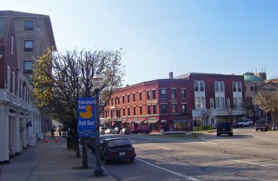
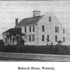
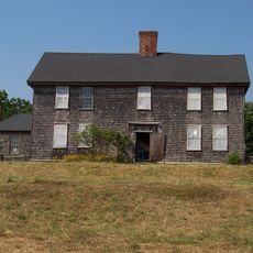
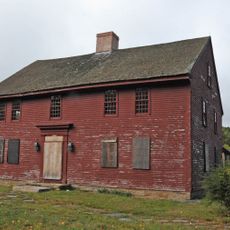
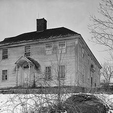
Westerly Downtown Historic District, Historic district in Westerly, US.

Description

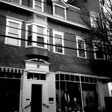
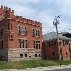
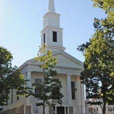
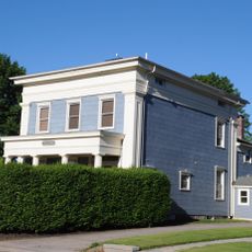
Westerly Downtown Historic District is a collection of buildings from the 19th and 20th centuries arranged along several main streets in the town center. The area contains a mix of commercial buildings, offices, and public structures that form the historic core of the community.

History

The district gained official recognition in the 1980s for its role in preserving the town's heritage and was expanded in later decades. The buildings trace the economic growth of Westerly during the period when manufacturing and trade drove the community forward.

Culture

The buildings along these streets show how architectural styles changed over time, with Victorian details mixing alongside early 20th century designs. Walking through the district, you notice how each era left its mark on the storefronts and facades.

Practical

The area is walkable and can be explored on foot, with level sidewalks along the main streets making navigation straightforward. It helps to start with a map or guide to understand the different streets and identify buildings of interest as you explore.

Did you know?

A railroad station from the early 20th century with Spanish Colonial style architecture stands at the center of the district. The building once connected multiple rail lines that were vital for trade and linking the region to larger cities.

Location
GPS coordinates
41.37649,-71.82868
Latest update
December 14, 2025 16:40

AroundUs brings together thousands of curated places, local tips, and hidden gems, enriched daily by 60,000 contributors worldwide. Discover all places nearby (Westerly).

Around this place
Misquamicut State Beach
United States of America

Misquamicut State Beach

6.3 km
Weekapaug Inn
United States of America

Weekapaug Inn

8.3 km
Flying Horse Carousel
United States of America

Flying Horse Carousel

7.9 km
Fort Mansfield
United States of America

Fort Mansfield

9.1 km
Wilcox Park
United States of America

Wilcox Park

167 m
Stonington Harbor Light
United States of America

Stonington Harbor Light

8.4 km
Capt. Nathaniel B. Palmer House
United States of America

Capt. Nathaniel B. Palmer House

7.6 km
Tomaquag Rock Shelters
United States of America

Tomaquag Rock Shelters

8.2 km
Watch Hill Light
United States of America

Watch Hill Light

8.5 km
James Merrill House
United States of America

James Merrill House

8.1 km
Pequotsepos Manor
United States of America

Pequotsepos Manor

10.1 km
Mechanic Street Historic District
United States of America

Mechanic Street Historic District

529 m
Holiday House
United States of America

Holiday House

7.9 km
Babcock-Smith House
United States of America

Babcock-Smith House

923 m
Robert Stanton House
United States of America

Robert Stanton House

5.1 km
John Randall House
United States of America

John Randall House

5.2 km
North Stonington Village Historic District
United States of America

North Stonington Village Historic District

8.5 km
Westerly Armory
United States of America

Westerly Armory

612 m
Main Street Historic District
United States of America

Main Street Historic District

367 m
John Palmer House
United States of America

John Palmer House

7.6 km
North End Historic District
United States of America

North End Historic District

1.3 km
Oak's Inn Military Reservation
United States of America

Oak's Inn Military Reservation

5.2 km
Samuel Miner House
United States of America

Samuel Miner House

9.6 km
Perry Homestead Historic District
United States of America

Perry Homestead Historic District

853 m
Lewis-Card-Perry House
United States of America

Lewis-Card-Perry House

2.5 km
The Stonington Lighthouse Museum
United States of America

The Stonington Lighthouse Museum

8.4 km
Bradford Village Historic District
United States of America

Bradford Village Historic District

7 km
White Rock Bridge
United States of America

White Rock Bridge

2.6 km
Show the full map
« Westerly Downtown Historic District - Historic district in Westerly, US » is provided by Around Us (aroundus.com). Images and texts are derived from Wikimedia project under a Creative Commons license. You are allowed to copy, distribute, and modify copies of this page, under the conditions set by the license, as long as this note is clearly visible.

Discover hidden gems everywhere you go!

From secret cafés to breathtaking viewpoints, skip the crowded tourist spots and find places that match your style. Our app makes it easy with voice search, smart filtering, route optimization, and insider tips from travelers worldwide. Download now for the complete mobile experience.

Around Us App Screenshot

A unique approach to discovering new places

Le Figaro

All the places worth exploring

France Info

A tailor-made excursion in just a few clicks

20 Minutes

Around Us
Travel Guide & Maps
Download

Send to your phone

QR Code
1

Open the camera app on your mobile.

2

Point at the QR code with your camera. A notification will appear.

3

Tap the notification to open the link.