Chest opened
+${chestReward.xp} XP
Explorer
NOUVEAU ×${chestReward.collectible.quantity}
tapez pour fermer

See the monuments around you in AR Open chests in the app

Around Us is built for your phone — point your camera at the streets and discover the monuments and places around you in augmented reality. Around Us is built for your phone — chests unlock when you walk, explore and capture nearby places.

Enable Location

We need your location to show you interesting places around you

Discover nearby places

Find interesting locations and hidden gems around you

Precise directions

Get accurate directions and distances to places

Your location is never shared with other users. It's only used when you tap the location button.

Westerly

Log in to your account

Start exploring — it's free

Trusted by 85,428 travelers worldwide

Continue with Google
Continue with Apple
or

We will send you a code to connect

By continuing, you accept our Terms and Conditions and our Privacy Policy

Check your inbox

We've sent a pincode in your inbox. Please enter the code below.

Discussion Reviews 5 Photos
43.9k Popularity

Westerly, Coastal community in Washington County, Rhode Island

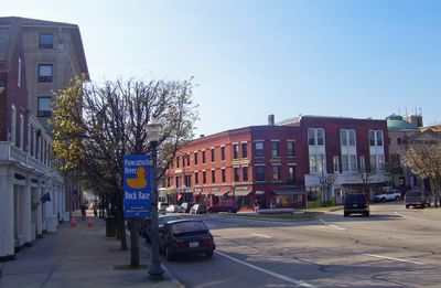
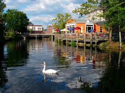
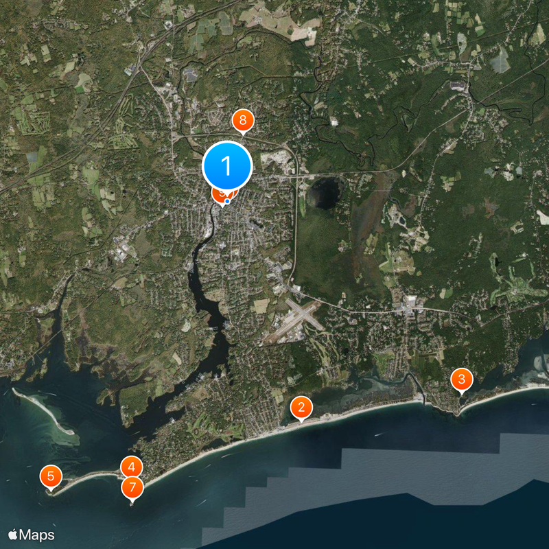
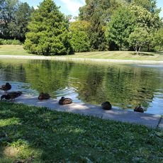
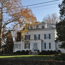
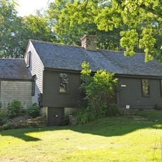
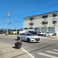
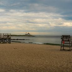
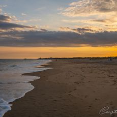
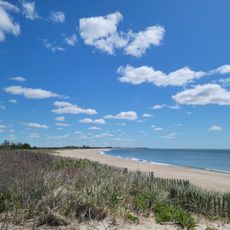
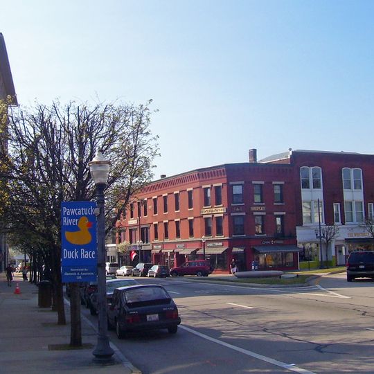
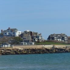
Westerly sits at the southwestern tip of Rhode Island and extends along the Pawcatuck River with three large salt ponds near its white sandy beaches. The area combines waterways, natural salt water basins, and coastal landscapes.

The Narragansett people lived in the area until 1637, when English colonists began settling and officially founded the town in 1661. The place later developed into a major center for granite quarrying and processing.

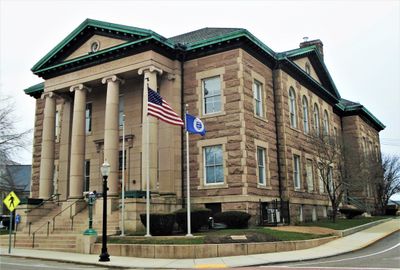
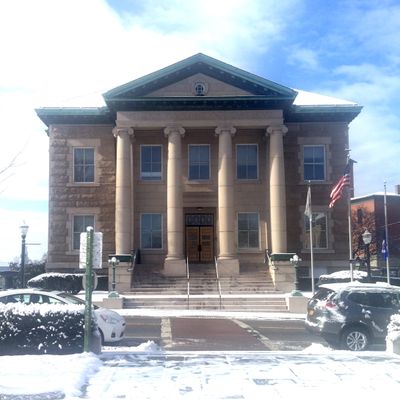
The pink granite quarried here shaped the town's identity for generations, with the stone used in government buildings along the eastern United States coast. Visitors can still see traces of this heritage in local architecture and monuments.

The Amtrak Station connects the town to larger cities, while beaches are accessible via Route 1 and several state roads. The best time to visit is during warmer months when beaches are active and ferry services run regularly.

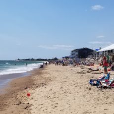
The three salt ponds - Maschaug, Winnapaug, and Quonochontaug - form natural basins that create the town's white beaches. These water bodies support local fishing and attract various bird species year-round.

The community of curious travelers

AroundUs brings together thousands of curated places, local tips, and hidden gems, enriched daily by 60,000 contributors worldwide.
Start exploring
Elevation above the sea
11 m
Shares border with
Stonington
GPS coordinates
41.36175,-71.81160
Latest update
August 30, 2026 15:31
Around this place
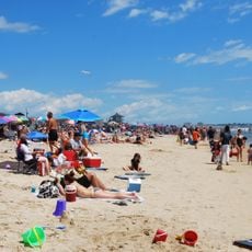
Misquamicut State Beach
United States of America

Misquamicut State Beach

2.7 mi
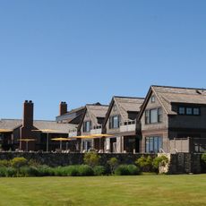
Weekapaug Inn
United States of America

Weekapaug Inn

3.8 mi
Flying Horse Carousel
United States of America

Flying Horse Carousel

4.4 mi
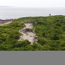
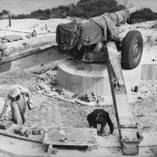
Fort Mansfield
United States of America

Fort Mansfield

5.4 mi
Wilcox Park
United States of America

Wilcox Park

1.4 mi
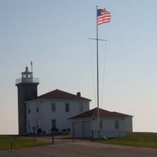
Watch Hill Light
United States of America

Watch Hill Light

4.7 mi
Rhode Island Route 78
United States of America

Rhode Island Route 78

2.3 mi
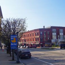
Westerly Downtown Historic District
United States of America

Westerly Downtown Historic District

1.4 mi
Mechanic Street Historic District
United States of America

Mechanic Street Historic District

1.4 mi
Holiday House
United States of America

Holiday House

4.4 mi
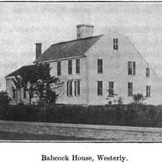
Babcock-Smith House
United States of America

Babcock-Smith House

0.8 mi
Robert Stanton House
United States of America

Robert Stanton House

2.8 mi
John Randall House
United States of America

John Randall House

4.5 mi
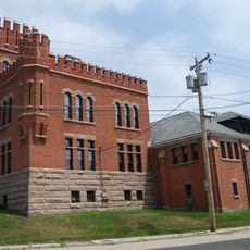
Westerly Armory
United States of America

Westerly Armory

1.6 mi
Main Street Historic District
United States of America

Main Street Historic District

1.3 mi
North End Historic District
United States of America

North End Historic District

2 mi
United States of America

Ram Point

1.9 mi
Oak's Inn Military Reservation
United States of America

Oak's Inn Military Reservation

2 mi
Perry Homestead Historic District
United States of America

Perry Homestead Historic District

1.2 mi
Lewis-Card-Perry House
United States of America

Lewis-Card-Perry House

2.4 mi
Westerly Town Beach
United States of America

Westerly Town Beach

2.8 mi
Misquamicut Fire District Beach
United States of America

Misquamicut Fire District Beach

2.9 mi
Watch Hill Beach Association Beach
United States of America

Watch Hill Beach Association Beach

4.4 mi
United States of America

Atlantic Beach

2.9 mi
East Beach
United States of America

East Beach

3.8 mi
Weekapaug Beach
United States of America

Weekapaug Beach

4.4 mi
Weekapaug Inn Beach
United States of America

Weekapaug Inn Beach

4 mi
Westerly Town Beach
United States of America

Westerly Town Beach

3.1 mi
Show the full map
Reviews
Share your experience

No review yet

Discussions
Start a discussion...

No discussion yet

« Westerly - Coastal community in Washington County, Rhode Island » is provided by Around Us (aroundus.com). Images and texts are derived from Wikimedia project under a Creative Commons license. You are allowed to copy, distribute, and modify copies of this page, under the conditions set by the license, as long as this note is clearly visible.

Discover hidden gems everywhere you go!

From secret cafés to breathtaking viewpoints, skip the crowded tourist spots and find places that match your style. Our app makes it easy with voice search, smart filtering, route optimization, and insider tips from travelers worldwide. Download now for the complete mobile experience.
Around Us App Screenshot

A unique approach to discovering new places

Le Figaro

All the places worth exploring

France Info

A tailor-made excursion in just a few clicks

20 Minutes

Around Us
Travel Guide & Maps
Download

Send to your phone

QR Code
1

Open the camera app on your mobile.

2

Point at the QR code with your camera. A notification will appear.

3

Tap the notification to open the link.