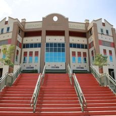
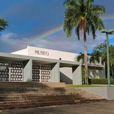
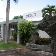
Trujillo Alto, municipality in Puerto Rico
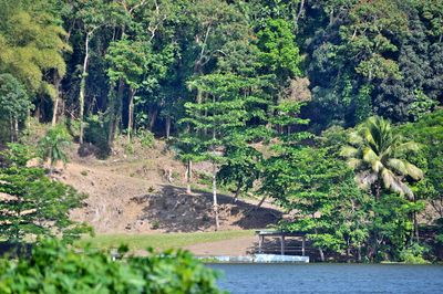
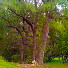
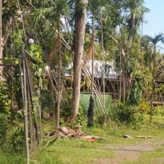
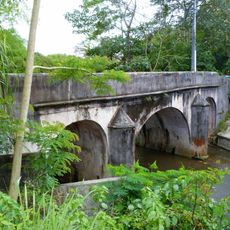
Trujillo Alto is a municipality in Puerto Rico, located just east of San Juan on hilly, forested terrain. The area is crossed by rivers and streams, and mixes rural zones with newer residential neighborhoods spread across the slopes.
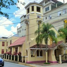
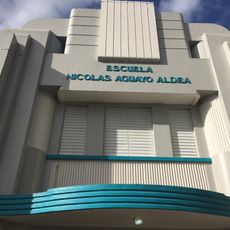
Trujillo Alto started as a farming community where people grew coffee, sugarcane, and tropical fruits. Over the 20th century, the town gradually opened to industry and trade and grew into a suburb of San Juan.
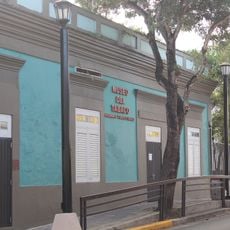
Residents, called Trujillanos, practice a craft known as Los Machos, in which artists carve masks from coconut shells that appear during local festivals. This tradition is one of the few of its kind in Puerto Rico and gives the town a recognizable creative identity.
Trujillo Alto is easy to reach by car and sits only a short drive from San Juan. Light clothing is advisable given the warm and humid climate, especially for any time spent outdoors.
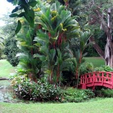
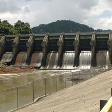
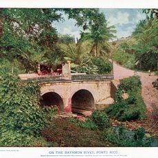
The municipality is sometimes called the City of Springs because of the many natural water sources found across its territory. The Carraízo Reservoir, built within its boundaries, is one of the main water supplies for the San Juan metro area.
The community of curious travelers
AroundUs brings together thousands of curated places, local tips, and hidden gems, enriched daily by 60,000 contributors worldwide.