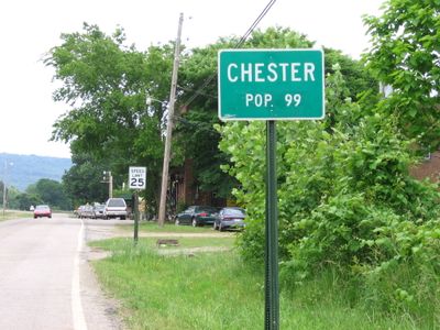
Chester, city in Arkansas
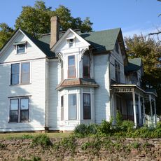
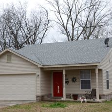
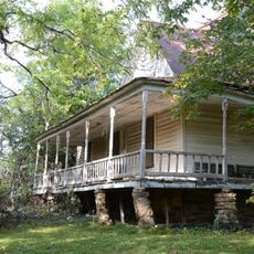
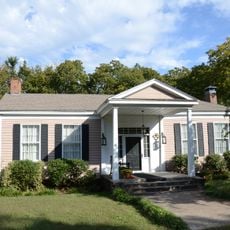
Chester is a small town in Crawford County in the Ozark Mountains region of Arkansas, featuring quiet streets and buildings from the late 1800s. The settlement covers less than a square mile and is home to fewer than 150 residents who live at a slow, steady pace.
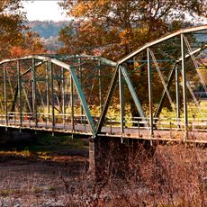
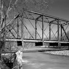
Chester was founded in the mid-1880s when a railroad line was built through the area, connecting it to larger cities and bringing commerce and growth. The town was formally incorporated in 1889, but suffered major fires in 1908 and 1936 as well as floods in 1934 and 1957 that halted its expansion and prompted many residents to move away.
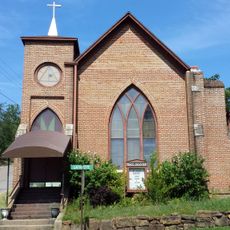
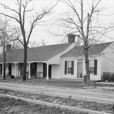
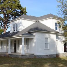
Chester reflects the traditions of a rural community where families have lived for generations and know their neighbors well. The old buildings and local establishments that remain show how daily life centered on work, faith, and close-knit gatherings that still shape how residents interact today.
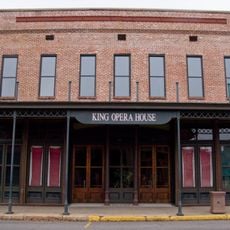
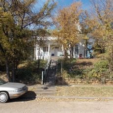
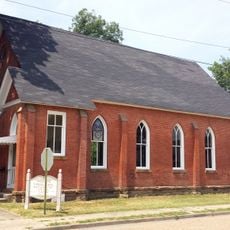
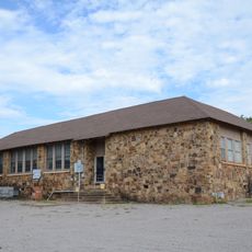
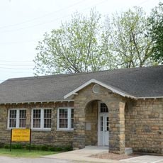
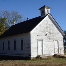
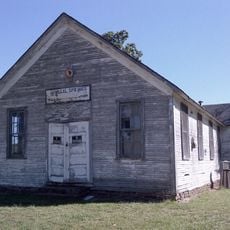
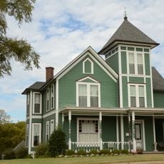
Visitors should know that Chester is a very quiet place with few shops and services on-site, so it is wise to bring or prepare essentials beforehand. The best places to explore are the old buildings scattered throughout town, especially the Jacob Yoes store and the Masonic lodge, which are registered historic structures worth viewing.
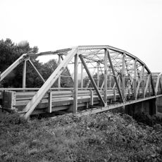
Chester has three structures listed on the National Register of Historic Places, including the Masonic lodge built in 1942 and the Jacob Yoes store, which remarkably survived major fires and floods. These rare survivors give visitors a direct glimpse into the architectural styles and craftsmanship of the late 1800s.
The community of curious travelers
AroundUs brings together thousands of curated places, local tips, and hidden gems, enriched daily by 60,000 contributors worldwide.