
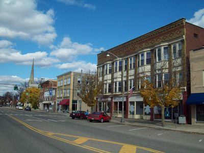
Bath, village in New York, US
Location: Steuben County
Inception: 1793
Elevation above the sea: 338 m
GPS coordinates: 42.33780,-77.31690
Latest update: March 2, 2025 23:11
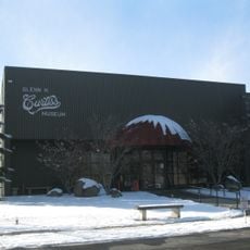
Glenn H. Curtiss Museum
9.7 km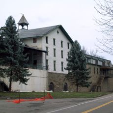
Gold Seal Winery
17.3 km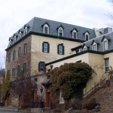
Pleasant Valley Wine Company
8.7 km
Canisteo Living Sign
25.8 km
Germania Wine Cellars
9.2 km
Cobblestone House
622 m
Hammondsport Union Free School
10.8 km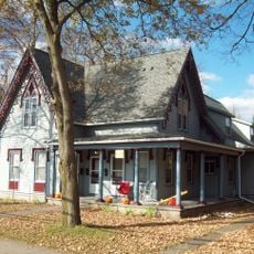
Potter-Van Camp House
241 m
Rowe House
9.6 km
Sedgwick House
358 m
Reuben Robie House
371 m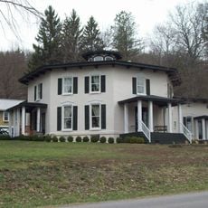
Timothy M. Younglove Octagon House
9.6 km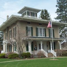
Larrowe House
23.1 km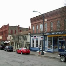
Pulteney Square Historic District
11.1 km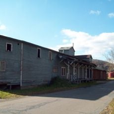
Erie Freighthouse Historic District
907 m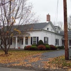
McMaster House
559 m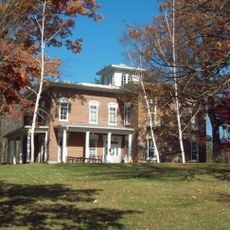
Campbell-Rumsey House
954 m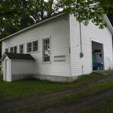
Weston Schoolhouse
21.8 km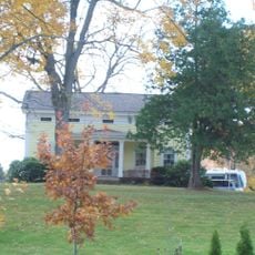
Haverling Farm House
810 m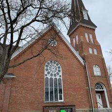
The First Baptist Society of Bath
504 m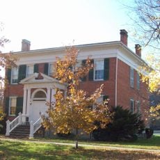
Davenport Library
835 m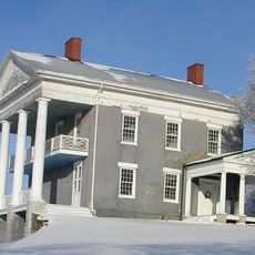
Abraham Wagener House
24.2 km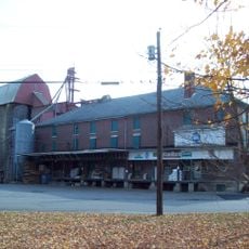
M. J. Ward Feed Mill Complex
793 m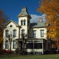
William Shepherd House
530 m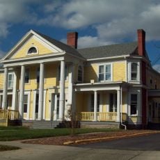
George W. Hallock House
303 m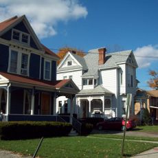
Gansevoort/East Steuben Streets Historic District
492 m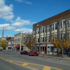
Liberty Street Historic District
352 m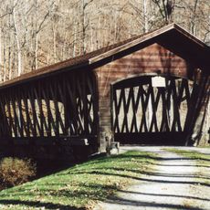
Campbell Covered Bridge
14.1 kmVisited this place? Tap the stars to rate it and share your experience / photos with the community! Try now! You can cancel it anytime.
Discover hidden gems everywhere you go!
From secret cafés to breathtaking viewpoints, skip the crowded tourist spots and find places that match your style. Our app makes it easy with voice search, smart filtering, route optimization, and insider tips from travelers worldwide. Download now for the complete mobile experience.

A unique approach to discovering new places❞
— Le Figaro
All the places worth exploring❞
— France Info
A tailor-made excursion in just a few clicks❞
— 20 Minutes