Standing Rock Indian Reservation
Standing Rock Indian Reservation, Native American reservation in North and South Dakota, United States.
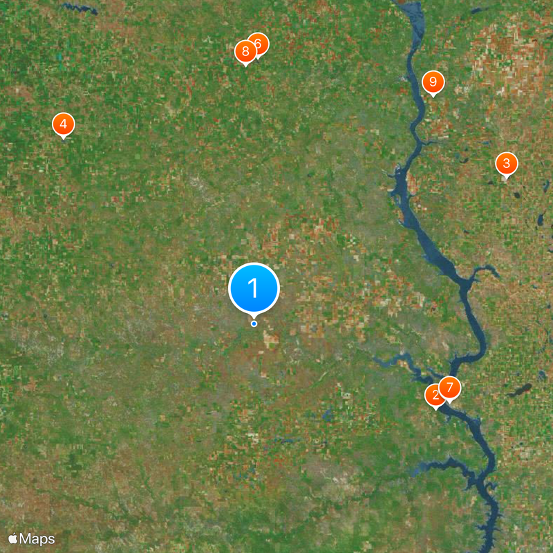
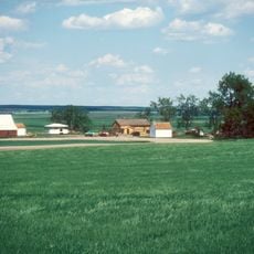
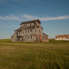
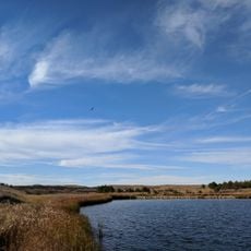
Standing Rock is a reservation in North and South Dakota that covers more than 2.3 million acres along the Missouri River, connecting prairie land with rolling hills. The landscape shifts between open grassland, winding riverbanks, and small settlements linked by gravel roads and highways.
The federal government created the reservation in the 1870s following treaties that reduced the territory of the Sioux Nation significantly. Further reductions followed in the 1880s and 1950s, when the Oahe Dam flooded farmland along the river.
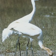
Visitors can attend powwows and community gatherings where Lakota and Dakota languages, songs, and ceremonial traditions continue to shape daily life. The Missouri River remains central to fishing, gathering, and spiritual practices that families pass down through generations.
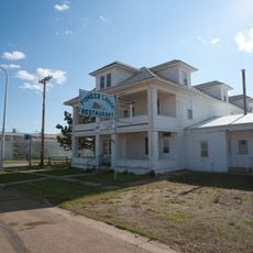
Fort Yates serves as the administrative center and offers basic services for visitors. Highways 1806 and 24 run through the area and provide access to communities and memorial sites along the route.
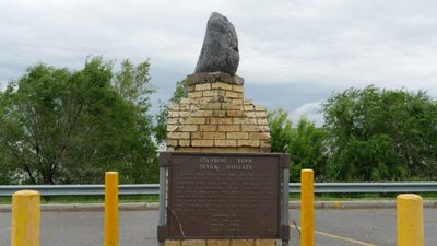
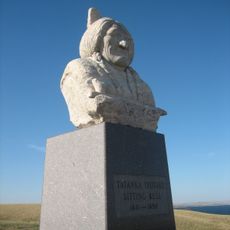
Sitting Bull, the Hunkpapa leader, was killed here in 1890 and originally buried at Fort Yates. His remains were later moved to Mobridge in South Dakota, though both sites are claimed by different groups.
Location: South Dakota
Location: North Dakota
Capital city: Fort Yates
Operator: Standing Rock Sioux Tribe
Website: http://standingrock.org
GPS coordinates: 45.75000,-101.20000
Latest update: December 15, 2025 01:49
Sitting Bull Monument
61.4 km
Ludwig and Christina Welk Homestead
88.8 km
Pretty Rock National Wildlife Refuge
80.8 km
Brown Palace Hotel
64.2 kmLake Patricia National Wildlife Refuge
80.7 km
Mobridge Masonic Temple
64.2 km
Hotel Brown
78.4 kmSunburst Lake National Wildlife Refuge
87.9 km
Carson Roller Mill
79.5 kmHoly Spirit Chapel
15.5 km
A. H. Brown Public Library
64.1 kmPollock Depot
72.9 kmSouth Dakota Dept. of Transportation Bridge No. 16-570-054
31.6 kmBrown-Evans House
64.1 kmMobridge State Bank
64.3 kmLake Pocasse
74.3 kmLeavenworth Monument
64.5 kmMolstad Lake
73 kmLemmon Lake
63.5 kmPeach Lake
51.1 kmMorristown East Lake
39.5 kmIsabel Lake
38.9 kmMallard Lake
27.9 kmFort Theatre
58 kmOrpheum Theater
37 km
Little Moreau State Recreation Area
44.7 kmLouse Creek Country Club
77.8 kmWalleye Up Statue
64.4 kmVisited this place? Tap the stars to rate it and share your experience / photos with the community! Try now! You can cancel it anytime.
Discover hidden gems everywhere you go!
From secret cafés to breathtaking viewpoints, skip the crowded tourist spots and find places that match your style. Our app makes it easy with voice search, smart filtering, route optimization, and insider tips from travelers worldwide. Download now for the complete mobile experience.
A unique approach to discovering new places❞
— Le Figaro
All the places worth exploring❞
— France Info
A tailor-made excursion in just a few clicks❞
— 20 Minutes