North Dakota

Log in to your account

AroundUs is a community-driven map of interesting places, built by curious explorers like you. It grows with every review, story, and photo you share.
Connect to save your favorite spots, contribute locations, and create personalized routes.
Continue with Google
Continue with Apple
Continue with X
Continue with Facebook
Continue with email
By continuing, you accept our Terms and Conditions and our Privacy Policy
Create an account
Add to collection
Map
Suggest a change
Share

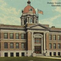
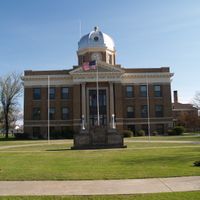
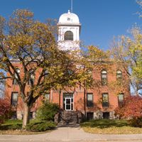
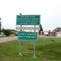
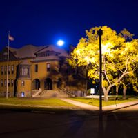
North Dakota, U.S. state in Upper Midwest, United States.

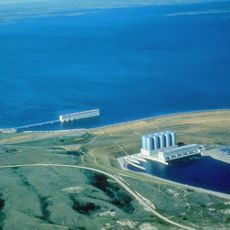
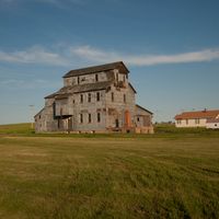
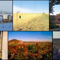
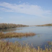
North Dakota is a state in the northern Midwest, stretching across open prairie land and agricultural areas that reach toward the Canadian border. The Missouri River cuts through from northwest to southeast, dividing the territory into eastern farmland and western ranching country.

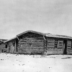
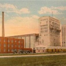
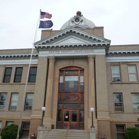
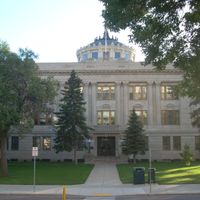
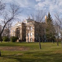
The region became a state on November 2, 1889, when President Benjamin Harrison signed both Dakotas into the Union on the same day. Before that, it formed part of Dakota Territory, shaped by waves of homesteaders and railway expansion during the late 19th century.

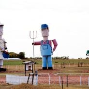
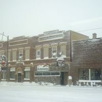
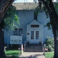
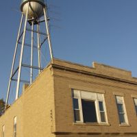
Communities gather at county fairs and rodeos throughout the summer, celebrating ranching traditions and local farming life with live music and homemade food. Small towns hold weekly farmers markets where people meet, trade stories, and sell produce grown on family land.

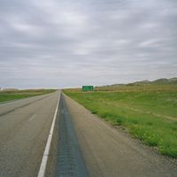
Travelers crossing the state will find paved highways running through open countryside, with towns and rest stops appearing at long intervals. Gas stations and grocery stores can be far apart, especially in western areas where roads stretch between ranches and small settlements.

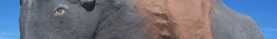
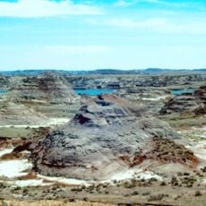
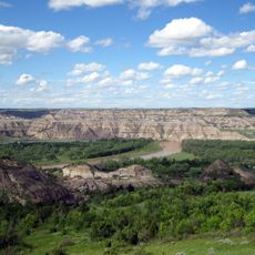
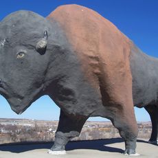
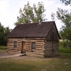
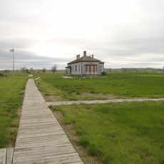
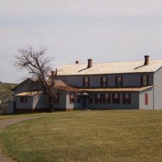
Theodore Roosevelt spent several years ranching in the badlands and later credited the experience with shaping his conservation ideals. The park named after him preserves colorful layered rock and free-roaming bison herds that reflect the landscape he knew.

Location: United States

Inception: November 2, 1889

Capital city: Bismarck

Elevation above the sea: 580 m

Reference: ND

Part of: contiguous United States

Shares border with: Saskatchewan, Manitoba, Minnesota, South Dakota, Montana

Website: https://nd.gov

GPS coordinates: 47.50000,-100.50000

Latest update: December 14, 2025 18:10

Photos
Natural and historical sites in North Dakota

North Dakota is a Great Plains state with a history shaped by trading posts, military forts, and Native American settlements. The region stretches from the Missouri River to the Canadian border, preserving sites that tell stories from the 19th century alongside Cold War relics and natural areas....

Around this place
Show the full map
Reviews

Visited this place? Tap the stars to rate it and share your experience / photos with the community! Try now! You can cancel it anytime.

« North Dakota - U.S. state in Upper Midwest, United States » is provided by Around Us (aroundus.com). Images and texts are derived from Wikimedia project under a Creative Commons license. You are allowed to copy, distribute, and modify copies of this page, under the conditions set by the license, as long as this note is clearly visible.

Discover hidden gems everywhere you go!

From secret cafés to breathtaking viewpoints, skip the crowded tourist spots and find places that match your style. Our app makes it easy with voice search, smart filtering, route optimization, and insider tips from travelers worldwide. Download now for the complete mobile experience.

Around Us App Screenshot

A unique approach to discovering new places

Le Figaro

All the places worth exploring

France Info

A tailor-made excursion in just a few clicks

20 Minutes