Mountrail County, County seat in northwestern North Dakota, US
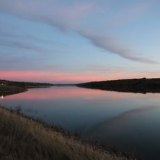
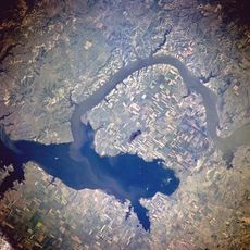
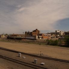
Mountrail County is a county in northwestern North Dakota covering diverse landscapes. The terrain includes rolling hills, numerous lakes, and the Missouri River forms its southwestern boundary.
The territory was established as a county by the Dakota Territory legislature in 1873 and named after Joseph Mountraille, a Metis voyageur and mail carrier from Pembina. This founding was part of the early organized settlement of the region.
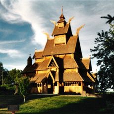
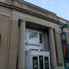
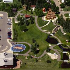
The Fort Berthold Reservation is home to the Three Affiliated Tribes of Mandan, Hidatsa, and Arikara, whose presence shapes the character of the region. Visitors can experience their culture through museums and community events.
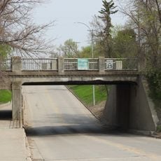
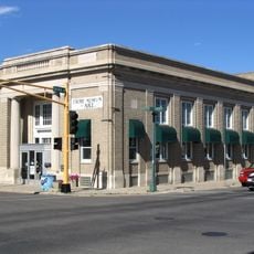
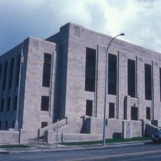
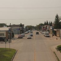
Stanley serves as the administrative center where services like permits and tax assessments are located. The county is spread across open land, so a vehicle is most practical for exploring different areas.
The Laurentian Divide runs through the central part of the county and determines where water flows toward different drainage basins. This geographical boundary line is a rare watershed feature that visitors might notice while exploring the landscape.
The community of curious travelers
AroundUs brings together thousands of curated places, local tips, and hidden gems, enriched daily by 60,000 contributors worldwide.