Enable Location

We need your location to show you interesting places around you

Discover nearby places

Find interesting locations and hidden gems around you

Precise directions

Get accurate directions and distances to places

Your location is never shared with other users. It's only used when you tap the location button.

Cass County

Log in to your account

Start exploring — it's free

Trusted by 61,368 travelers worldwide

Continue with Google
Continue with Apple
or

We will send you a code to connect

By continuing, you accept our Terms and Conditions and our Privacy Policy

Check your inbox

We've sent a pincode in your inbox. Please enter the code below.

Cass County, Administrative division in eastern North Dakota, US

Description

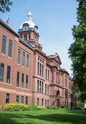
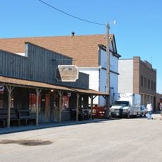
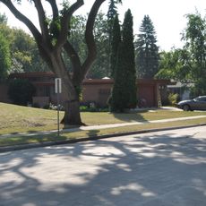
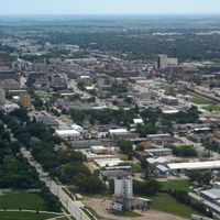
Cass County is an administrative division in eastern North Dakota that combines farmland, rural townships, and the urban core of Fargo as its county seat. The landscape transitions between flat river valleys and gently rolling terrain used primarily for grain and soybean production.

History

The region was established as a county in 1873 during the Dakota Territory period and named after a railway executive of the Northern Pacific Railway. This naming reflected the era when transportation infrastructure drove settlement and economic growth across the plains.

Culture

The county's population of 184,525 residents participates in regular agricultural festivals, seasonal markets, and community gatherings throughout its municipalities.

Practical

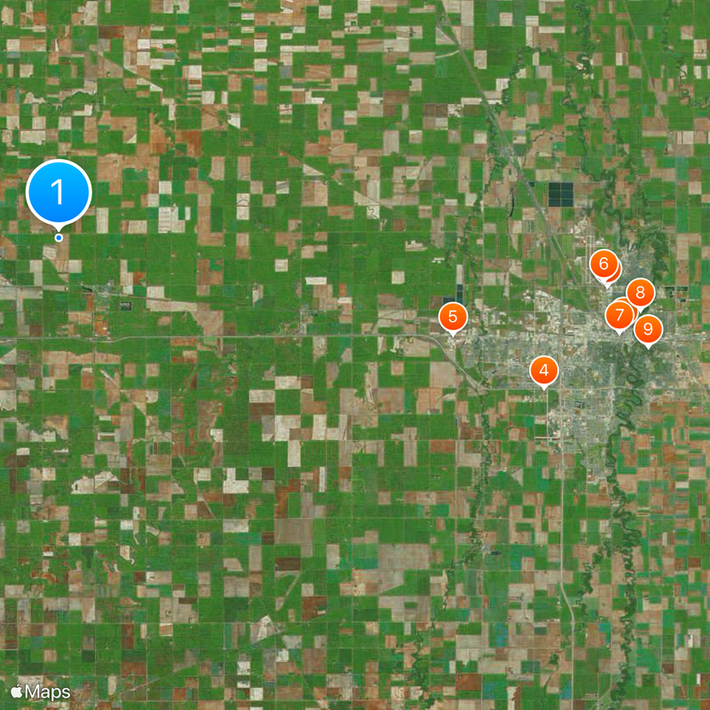
The region is well connected by interstate highways, particularly through Fargo, which serves as a major junction linking to Minneapolis, Winnipeg, and surrounding areas. Getting around requires a vehicle, as public transportation is limited outside the urban core.

Did you know?

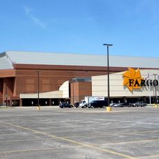
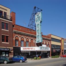
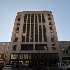
Fargo draws visitors and immigrants from neighboring Canadian provinces, making it an unexpected cultural intersection between the US and Canada. The city has become a regional technology and commerce hub despite its rural setting.

Location
Inception
1873
Capital city
Fargo
Shares border with
Traill County, Richland County, Steele County, Barnes County, Ransom County, Clay County, Norman County
GPS coordinates
46.93000,-97.25000
Latest update
December 20, 2025 13:28

AroundUs brings together thousands of curated places, local tips, and hidden gems, enriched daily by 60,000 contributors worldwide. Discover all places nearby (North Dakota).

Around this place
Fargodome
United States of America

Fargodome

34.2 km
Fargo Theatre
United States of America

Fargo Theatre

35.6 km
Red River Zoo
United States of America

Red River Zoo

31.6 km
Bonanzaville, USA
United States of America

Bonanzaville, USA

25.2 km
Fargo Air Museum
United States of America

Fargo Air Museum

34 km
Plains Art Museum
United States of America

Plains Art Museum

35.3 km
Fargo-Moorhead Toll Bridge
United States of America

Fargo-Moorhead Toll Bridge

36.4 km
Comstock House
United States of America

Comstock House

37.3 km
Cathedral of St. Mary
United States of America

Cathedral of St. Mary

35.5 km
Bluestem Amphitheater
United States of America

Bluestem Amphitheater

36.7 km
The Roger Maris Museum
United States of America

The Roger Maris Museum

31.8 km
Jake Christiansen Stadium
United States of America

Jake Christiansen Stadium

37.7 km
Rourke Art Museum
United States of America

Rourke Art Museum

37 km
United States of America

Sts. Anne and Joachim Catholic Church

35.8 km
Gethsemane Episcopal Cathedral
United States of America

Gethsemane Episcopal Cathedral

34.8 km
DeLendrecie's Department Store
United States of America

DeLendrecie's Department Store

35.6 km
North Dakota State University District
United States of America

North Dakota State University District

34.5 km
Black Building
United States of America

Black Building

35.6 km
Cass County Court House, Jail, and Sheriff's House
United States of America

Cass County Court House, Jail, and Sheriff's House

35.4 km
Barrington Apartments
United States of America

Barrington Apartments

35 km
United States of America

Holy Spirit Catholic Church

35.2 km
Thunder Road Family Fun Park
United States of America

Thunder Road Family Fun Park

32.7 km
St. Stephen's Episcopal Church
United States of America

St. Stephen's Episcopal Church

4.3 km
George and Beth Anderson House
United States of America

George and Beth Anderson House

36.5 km
St. John the Divine Episcopal Church
United States of America

St. John the Divine Episcopal Church

37.3 km
United States of America

Downtown Fargo District

35.5 km
Dibley House
United States of America

Dibley House

36.2 km
Union Storage & Transfer Cold Storage Warehouse and Armour Creamery Building
United States of America

Union Storage & Transfer Cold Storage Warehouse and Armour Creamery Building

35.1 km
Show the full map
Administrative divisions
« Cass County - Administrative division in eastern North Dakota, US » is provided by Around Us (aroundus.com). Images and texts are derived from Wikimedia project under a Creative Commons license. You are allowed to copy, distribute, and modify copies of this page, under the conditions set by the license, as long as this note is clearly visible.

Discover hidden gems everywhere you go!

From secret cafés to breathtaking viewpoints, skip the crowded tourist spots and find places that match your style. Our app makes it easy with voice search, smart filtering, route optimization, and insider tips from travelers worldwide. Download now for the complete mobile experience.

Around Us App Screenshot

A unique approach to discovering new places

Le Figaro

All the places worth exploring

France Info

A tailor-made excursion in just a few clicks

20 Minutes

Around Us
Travel Guide & Maps
Download

Send to your phone

QR Code
1

Open the camera app on your mobile.

2

Point at the QR code with your camera. A notification will appear.

3

Tap the notification to open the link.