Enable Location

We need your location to show you interesting places around you

Discover nearby places

Find interesting locations and hidden gems around you

Precise directions

Get accurate directions and distances to places

Your location is never shared with other users. It's only used when you tap the location button.

Ransom County

Log in to your account

Start exploring — it's free

Trusted by 61,363 travelers worldwide

Continue with Google
Continue with Apple
or

We will send you a code to connect

By continuing, you accept our Terms and Conditions and our Privacy Policy

Check your inbox

We've sent a pincode in your inbox. Please enter the code below.

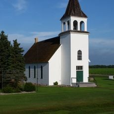
Ransom County, County in North Dakota, United States

Description

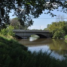
Ransom County is an administrative division in eastern North Dakota covering gently rolling terrain dotted with lakes and wetlands, particularly across its western sections. The Sheyenne River flows along much of the southern boundary.

History

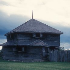
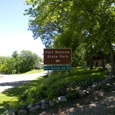
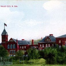
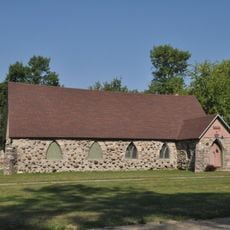
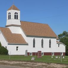
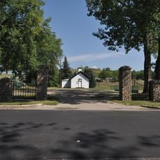
The county was established in 1873 by the Dakota Territory legislature and named after Fort Ransom, which operated in the region from 1867 to 1872. This military outpost was significant in the early development and governance of the area.

Culture

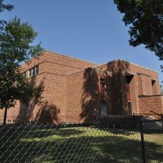
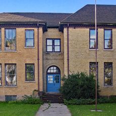
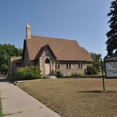
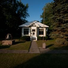
The county maintains multiple educational facilities through the Enderlin Area and Lisbon Public School Districts, serving the local student population across its territory.

Practical

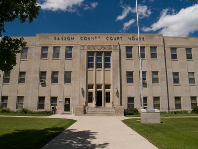
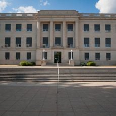
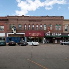
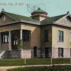
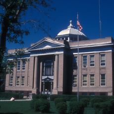
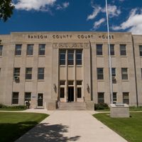
The county courthouse in Lisbon at 204 5th Avenue West serves as the main administrative center and is open for public services. The area is served by two school districts that operate throughout the territory for those interested in educational facilities.

Did you know?

The highest elevation in the county sits near its northwestern corner at about 1,421 feet (433 meters) above sea level. This topographic feature creates a subtle ridge that distinguishes the landscape in that direction.

Location
Inception
April 4, 1881
Capital city
Lisbon
Shares border with
Cass County, Richland County, Sargent County, Dickey County, LaMoure County, Barnes County
GPS coordinates
46.46000,-97.66000
Latest update
December 15, 2025 13:20

AroundUs brings together thousands of curated places, local tips, and hidden gems, enriched daily by 60,000 contributors worldwide. Discover all places nearby (North Dakota).

Around this place
Fort Abercrombie
United States of America

Fort Abercrombie

72.2 km
Bonanzaville, USA
United States of America

Bonanzaville, USA

72.6 km
Hi-Line Railroad Bridge
United States of America

Hi-Line Railroad Bridge

59.1 km
Fort Ransom State Park
United States of America

Fort Ransom State Park

23.1 km
Frederick A. and Sophia Bagg Bonanza Farm
United States of America

Frederick A. and Sophia Bagg Bonanza Farm

65.2 km
Tewaukon National Wildlife Refuge
United States of America

Tewaukon National Wildlife Refuge

55 km
United States of America

North Dakota Winter Show

56.8 km
St. Stephen's Episcopal Church
United States of America

St. Stephen's Episcopal Church

60.1 km
State Normal School at Valley City Historic District
United States of America

State Normal School at Valley City Historic District

57.3 km
West Park Bridge
United States of America

West Park Bridge

57.8 km
Lisbon Bridge
United States of America

Lisbon Bridge

2.2 km
Rainbow Arch Bridge
United States of America

Rainbow Arch Bridge

58.1 km
Lisbon Opera House
United States of America

Lisbon Opera House

2.5 km
Old Stone Church
United States of America

Old Stone Church

52.1 km
Valley City Municipal Auditorium
United States of America

Valley City Municipal Auditorium

57.6 km
Wolverton Public School
United States of America

Wolverton Public School

71.8 km
Barnes County Courthouse
United States of America

Barnes County Courthouse

58.3 km
Ransom County Courthouse
United States of America

Ransom County Courthouse

2.7 km
South Wild Rice Church
United States of America

South Wild Rice Church

71.4 km
All Saints Episcopal Church
United States of America

All Saints Episcopal Church

58.3 km
Palestine Evangelical Lutheran Church
United States of America

Palestine Evangelical Lutheran Church

67.3 km
Casselton Commercial Historic District
United States of America

Casselton Commercial Historic District

59.9 km
Valley City Carnegie Library
United States of America

Valley City Carnegie Library

58.2 km
Sargent County Courthouse
United States of America

Sargent County Courthouse

39.4 km
T. J. Walker Historic District
United States of America

T. J. Walker Historic District

21.8 km
Watts Free Library
United States of America

Watts Free Library

38.3 km
Amphitheater and Fieldstone WPA Features at Valley City Pioneer Park
United States of America

Amphitheater and Fieldstone WPA Features at Valley City Pioneer Park

58.6 km
LaMoure County Courthouse
United States of America

LaMoure County Courthouse

49.6 km
Show the full map
Administrative divisions
« Ransom County - County in North Dakota, United States » is provided by Around Us (aroundus.com). Images and texts are derived from Wikimedia project under a Creative Commons license. You are allowed to copy, distribute, and modify copies of this page, under the conditions set by the license, as long as this note is clearly visible.

Discover hidden gems everywhere you go!

From secret cafés to breathtaking viewpoints, skip the crowded tourist spots and find places that match your style. Our app makes it easy with voice search, smart filtering, route optimization, and insider tips from travelers worldwide. Download now for the complete mobile experience.

Around Us App Screenshot

A unique approach to discovering new places

Le Figaro

All the places worth exploring

France Info

A tailor-made excursion in just a few clicks

20 Minutes

Around Us
Travel Guide & Maps
Download

Send to your phone

QR Code
1

Open the camera app on your mobile.

2

Point at the QR code with your camera. A notification will appear.

3

Tap the notification to open the link.