Emmons County

Log in to your account

AroundUs is a community-driven map of interesting places, built by curious explorers like you. It grows with every review, story, and photo you share.
Connect to save your favorite spots, contribute locations, and create personalized routes.
Continue with Google
Continue with Apple
Continue with X
Continue with Facebook
Continue with email
By continuing, you accept our Terms and Conditions and our Privacy Policy
Create an account
Add to collection
Map
Suggest a change
Share

Emmons County, Administrative county in North Dakota, United States

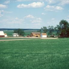
Emmons County occupies southeastern North Dakota along the Missouri River, displaying gently rolling prairie landscape mixed with farmland and scattered woodland areas. The terrain transitions from open grasslands to river valleys that mark the county's western edge.

The territory was established in 1879 by the Dakota Territory legislature and named after a Bismarck-based merchant and steamboat operator from that era. This founding reflected the broader settlement expansion moving through the region during the late 1800s.

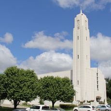
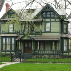
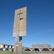
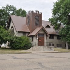
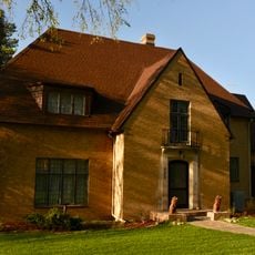
Descendants of German-Russian immigrants maintain agricultural traditions and religious customs visible in local building styles and community practices. These heritage influences continue to shape how people live and work across the region today.

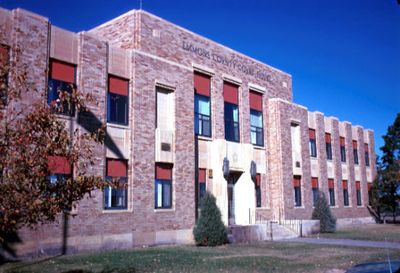
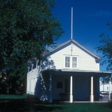
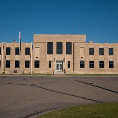
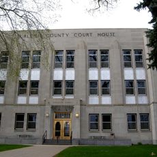
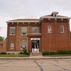
Linton serves as the administrative hub with medical services, schools, and government offices available to residents and visitors. The town offers basic lodging and dining options as well as access points to explore the surrounding countryside.

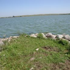
The Missouri River forms the entire western boundary and creates important natural habitats within the region. The adjacent Appert Lake National Wildlife Refuge attracts bird watchers and nature enthusiasts who track seasonal migrations.

Location: North Dakota

Inception: 1879

Capital city: Linton

Shares border with: Burleigh County, Kidder County, Logan County, McIntosh County, Campbell County, Sioux County, Morton County, Corson County

Website: http://emmonsnd.com

GPS coordinates: 46.28000,-100.24000

Latest update: December 10, 2025 15:59

Photos
Around this place
Fort Abraham Lincoln
United States of America

Fort Abraham Lincoln

71.3 km
Dakota Zoo
United States of America

Dakota Zoo

72.3 km
Fort Rice
United States of America

Fort Rice

37 km
United States of America

North Dakota Heritage Center

72.9 km
Cathedral of the Holy Spirit
United States of America

Cathedral of the Holy Spirit

72.7 km
Ludwig and Christina Welk Homestead
United States of America

Ludwig and Christina Welk Homestead

14.7 km
Huff Archeological Site
United States of America

Huff Archeological Site

48.7 km
Beaver Lake State Park
United States of America

Beaver Lake State Park

49.6 km
Former North Dakota Executive Mansion
United States of America

Former North Dakota Executive Mansion

72.4 km
Camp Hancock State Historic Site
United States of America

Camp Hancock State Historic Site

72.1 km
Annunciation Monastery
United States of America

Annunciation Monastery

62.8 km
Our Lady of the Annunciation Chapel at Annunciation Priory
United States of America

Our Lady of the Annunciation Chapel at Annunciation Priory

63 km
Bismarck Air Museum
United States of America

Bismarck Air Museum

68.6 km
E. G. Patterson Building
United States of America

E. G. Patterson Building

71.8 km
First Presbyterian Church of Steele
United States of America

First Presbyterian Church of Steele

68.6 km
Emmons County Courthouse
United States of America

Emmons County Courthouse

1.5 km
Bismarck Cathedral Area Historic District
United States of America

Bismarck Cathedral Area Historic District

72.8 km
Burleigh County Courthouse
United States of America

Burleigh County Courthouse

72 km
Kidder County Courthouse
United States of America

Kidder County Courthouse

68.6 km
United States Post Office and Courthouse
United States of America

United States Post Office and Courthouse

72.1 km
Bismarck Civic Auditorium
United States of America

Bismarck Civic Auditorium

71.8 km
Fred and Gladys Grady House
United States of America

Fred and Gladys Grady House

72.8 km
Dr. Albert M. and Evelyn M. Brandt House
United States of America

Dr. Albert M. and Evelyn M. Brandt House

71.4 km
Towne–Williams House
United States of America

Towne–Williams House

72.3 km
North Dakota Heritage Center & State Museum
United States of America

North Dakota Heritage Center & State Museum

72.8 km
Hillside Aquatic Complex
United States of America

Hillside Aquatic Complex

71.9 km
Former Governors' Mansion State Historic Site
United States of America

Former Governors' Mansion State Historic Site

72.4 km
Camp Hancock State Historic Site
United States of America

Camp Hancock State Historic Site

72.1 km
Show the full map
Reviews

Visited this place? Tap the stars to rate it and share your experience / photos with the community! Try now! You can cancel it anytime.

Administrative divisions
« Emmons County - Administrative county in North Dakota, United States » is provided by Around Us (aroundus.com). Images and texts are derived from Wikimedia project under a Creative Commons license. You are allowed to copy, distribute, and modify copies of this page, under the conditions set by the license, as long as this note is clearly visible.

Discover hidden gems everywhere you go!

From secret cafés to breathtaking viewpoints, skip the crowded tourist spots and find places that match your style. Our app makes it easy with voice search, smart filtering, route optimization, and insider tips from travelers worldwide. Download now for the complete mobile experience.

Around Us App Screenshot

A unique approach to discovering new places

Le Figaro

All the places worth exploring

France Info

A tailor-made excursion in just a few clicks

20 Minutes