McKenzie County, Administrative county in western North Dakota, United States.
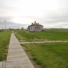
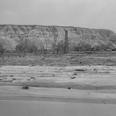
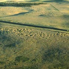
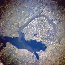
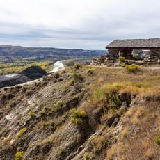
McKenzie County is an administrative division in western North Dakota with rivers forming its natural boundaries. The territory encompasses extensive farmland, oil and gas operations, and several communities spread across its landscape.
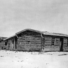
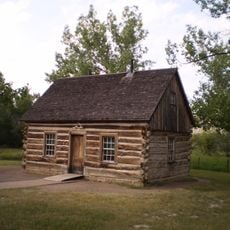
The county originated in 1883 and was formally organized in 1905, taking its name from Alexander McKenzie, a territorial political figure. This establishment reflected the expansion of administrative structures into western regions during that era.
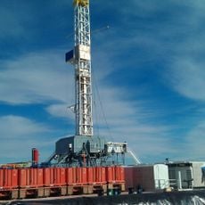
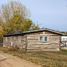
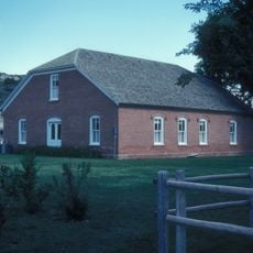
The county shows how farming families and oil workers shape daily life in different ways, with both groups leaving visible marks on the towns and landscape.
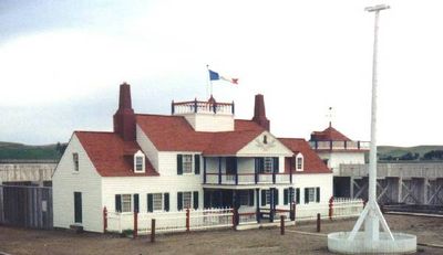
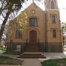
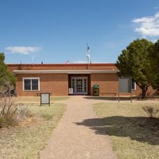
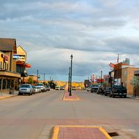
Watford City serves as the county seat and central hub for basic services and business activities. The region is sparsely populated with significant distances between communities, so plan travel time between destinations accordingly.
Between 2010 and 2020, the county recorded the fastest population growth rate among all American counties. This rapid expansion was driven primarily by oil production development, which brought new jobs and residents to the area.
The community of curious travelers
AroundUs brings together thousands of curated places, local tips, and hidden gems, enriched daily by 60,000 contributors worldwide.