Enable Location

We need your location to show you interesting places around you

Discover nearby places

Find interesting locations and hidden gems around you

Precise directions

Get accurate directions and distances to places

Your location is never shared with other users. It's only used when you tap the location button.

Morton County

Log in to your account

Start exploring — it's free

Trusted by 61,907 travelers worldwide

Continue with Google
Continue with Apple
or

We will send you a code to connect

By continuing, you accept our Terms and Conditions and our Privacy Policy

Check your inbox

We've sent a pincode in your inbox. Please enter the code below.

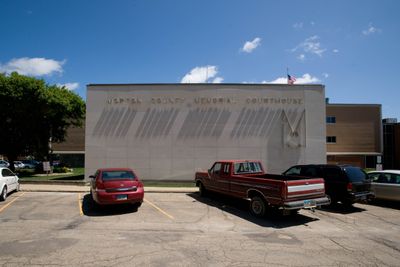
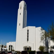
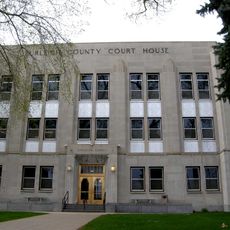
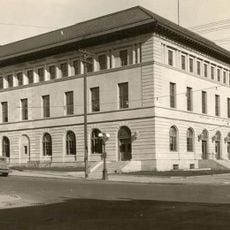
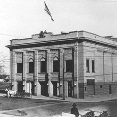
Morton County, Administrative division in central North Dakota, United States.

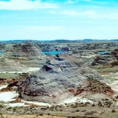
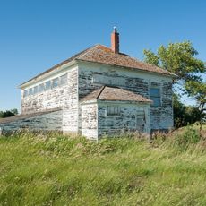
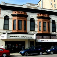
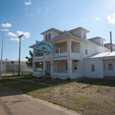
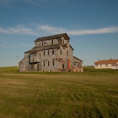
Morton County covers the central portion of North Dakota, featuring farmland, rolling terrain, and the Missouri River cutting through its landscape. Small towns and rural settlements dot the area, connected by highways that cross the county in multiple directions.

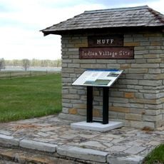
The county was created in 1873 as part of Dakota Territory governance, named after Oliver Hazard Perry Morton, a former Indiana governor. This establishment marked a shift toward formal territorial administration and settlement of the northern plains.

Agriculture shapes daily life here, with farming families at the heart of community gatherings and seasonal celebrations that bring neighbors together. These practices define how people relate to the land and to each other.

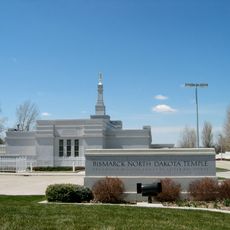
Interstate 94 runs through the area, connecting Mandan, the county seat, to surrounding regions and making travel straightforward. Since this is a rural county, services and amenities are spread across several small towns rather than concentrated in one place.

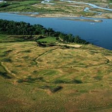
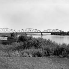
The Missouri River forms the eastern boundary and creates a natural dividing line between this county and its neighbors. This boundary position has influenced how the county developed economically and how people moved through the region for centuries.

The community of curious travelers

AroundUs brings together thousands of curated places, local tips, and hidden gems, enriched daily by 60,000 contributors worldwide.

Start exploring
GPS coordinates
46.72447,-101.16445
Latest update
December 8, 2025 13:40
Around this place
Hell Creek Formation
United States of America

Hell Creek Formation

32.2 km
North Dakota State Capitol
United States of America

North Dakota State Capitol

31 km
Fort Abraham Lincoln
United States of America

Fort Abraham Lincoln

24.4 km
North Dakota Governor's Residence
United States of America

North Dakota Governor's Residence

30.7 km
Salem Sue
United States of America

Salem Sue

24.5 km
Fort Rice
United States of America

Fort Rice

50.2 km
United States of America

North Dakota Heritage Center

31.2 km
Bismarck North Dakota Temple
United States of America

Bismarck North Dakota Temple

29.6 km
Cathedral of the Holy Spirit
United States of America

Cathedral of the Holy Spirit

29.7 km
Huff Archeological Site
United States of America

Huff Archeological Site

41.5 km
Double Ditch
United States of America

Double Ditch

31 km
United States of America

Liberty Memorial Building

31.1 km
Liberty Memorial Bridge
United States of America

Liberty Memorial Bridge

27.8 km
Former North Dakota Executive Mansion
United States of America

Former North Dakota Executive Mansion

30.4 km
Camp Hancock State Historic Site
United States of America

Camp Hancock State Historic Site

29.8 km
Annunciation Monastery
United States of America

Annunciation Monastery

31.4 km
Our Lady of the Annunciation Chapel at Annunciation Priory
United States of America

Our Lady of the Annunciation Chapel at Annunciation Priory

31.3 km
Bismarck Air Museum
United States of America

Bismarck Air Museum

31.3 km
E. G. Patterson Building
United States of America

E. G. Patterson Building

30.3 km
Hotel Brown
United States of America

Hotel Brown

30.5 km
German Evangelical St. Johns Church
United States of America

German Evangelical St. Johns Church

70.1 km
Evangelical Lutheran Trinity Church
United States of America

Evangelical Lutheran Trinity Church

66.2 km
Bismarck Cathedral Area Historic District
United States of America

Bismarck Cathedral Area Historic District

29.7 km
Chief Looking's Village site
United States of America

Chief Looking's Village site

28.1 km
Burleigh County Courthouse
United States of America

Burleigh County Courthouse

30.5 km
Carson Roller Mill
United States of America

Carson Roller Mill

45.8 km
United States Post Office and Courthouse
United States of America

United States Post Office and Courthouse

30.2 km
Bismarck Civic Auditorium
United States of America

Bismarck Civic Auditorium

30.5 km
Show the full map
« Morton County - Administrative division in central North Dakota, United States » is provided by Around Us (aroundus.com). Images and texts are derived from Wikimedia project under a Creative Commons license. You are allowed to copy, distribute, and modify copies of this page, under the conditions set by the license, as long as this note is clearly visible.

Discover hidden gems everywhere you go!

From secret cafés to breathtaking viewpoints, skip the crowded tourist spots and find places that match your style. Our app makes it easy with voice search, smart filtering, route optimization, and insider tips from travelers worldwide. Download now for the complete mobile experience.

Around Us App Screenshot

A unique approach to discovering new places

Le Figaro

All the places worth exploring

France Info

A tailor-made excursion in just a few clicks

20 Minutes

Around Us
Travel Guide & Maps
Download

Send to your phone

QR Code
1

Open the camera app on your mobile.

2

Point at the QR code with your camera. A notification will appear.

3

Tap the notification to open the link.