Enable Location

We need your location to show you interesting places around you

Discover nearby places

Find interesting locations and hidden gems around you

Precise directions

Get accurate directions and distances to places

Your location is never shared with other users. It's only used when you tap the location button.

Towner County

Log in to your account

Start exploring — it's free

Trusted by 61,366 travelers worldwide

Continue with Google
Continue with Apple
or

We will send you a code to connect

By continuing, you accept our Terms and Conditions and our Privacy Policy

Check your inbox

We've sent a pincode in your inbox. Please enter the code below.

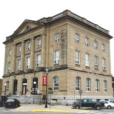
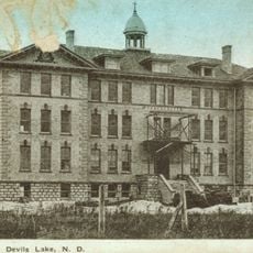
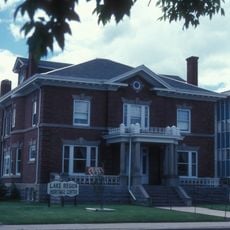
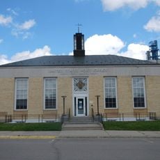
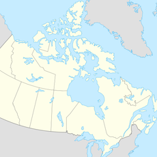
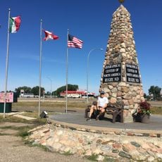
Towner County, Administrative county in North Dakota, United States.

Description

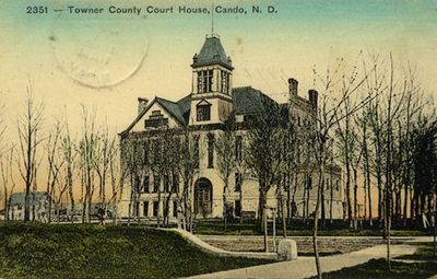
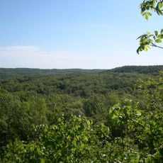
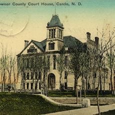
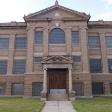
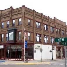
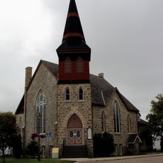
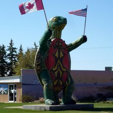
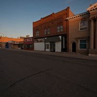
Towner County is an administrative county in North Dakota stretching across rolling hills with scattered lakes and ponds in its landscape. The county seat, Cando, serves as the main hub connecting the small communities throughout the region.

History

The county was established in 1883 from portions of neighboring counties and named after Oscar M. Towner, a territorial legislature member. Its creation was part of the early settlement and organization of Dakota Territory.

Culture

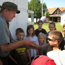
The area reflects deep roots in German and Norwegian immigration, with families who have maintained farming traditions across generations. This heritage shapes how communities organize their daily life and gather together.

Practical

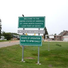
U.S. Route 281 and several state highways connect the scattered communities, making it easy to navigate with a car. The rolling terrain and open landscape allow good visibility when traveling between towns.

Did you know?

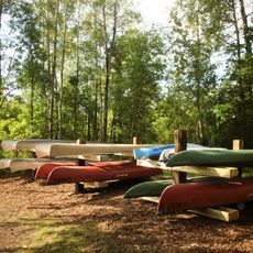
The area contains several wildlife refuges, including Brumba National Wildlife Refuge and Lake Alice, which provide habitats for rare birds and water species. These protected spaces draw nature enthusiasts looking to observe regional wildlife.

Location
Inception
1883
Capital city
Cando
Shares border with
Killarney-Turtle Mountain, Roblin, Louise, Cavalier County, Ramsey County, Benson County, Pierce County, Rolette County
GPS coordinates
48.69000,-99.25000
Latest update
December 14, 2025 20:20

AroundUs brings together thousands of curated places, local tips, and hidden gems, enriched daily by 60,000 contributors worldwide. Discover all places nearby (North Dakota).

Around this place
International Peace Garden
Canada

International Peace Garden

68.6 km
Fort Totten State Historic Site
United States of America

Fort Totten State Historic Site

81.6 km
Coghlan Castle
United States of America

Coghlan Castle

40 km
Pembina Valley Provincial Park
Canada

Pembina Valley Provincial Park

87 km
St. John–Lena Border Crossing
Canada

St. John–Lena Border Crossing

45.6 km
Roxy Theatre
United States of America

Roxy Theatre

65.2 km
Benson County Courthouse
United States of America

Benson County Courthouse

69.1 km
Central High School
United States of America

Central High School

70.2 km
U.S. Post Office and Courthouse
United States of America

U.S. Post Office and Courthouse

70.6 km
St. Mary's Academy
United States of America

St. Mary's Academy

70.5 km
Ramsey County Sheriff's House
United States of America

Ramsey County Sheriff's House

70.4 km
Rugby Post Office
United States of America

Rugby Post Office

65.4 km
Devils Lake Carnegie Library
United States of America

Devils Lake Carnegie Library

70.2 km
Newport Apartments
United States of America

Newport Apartments

70.7 km
Westminster Presbyterian Church
United States of America

Westminster Presbyterian Church

70.2 km
Pierce County Courthouse
United States of America

Pierce County Courthouse

65.3 km
Towner County Courthouse
United States of America

Towner County Courthouse

22.1 km
Devils Lake Masonic Temple
United States of America

Devils Lake Masonic Temple

71.9 km
United States of America

Episcopal Church of the Advent and Guild Hall

70.3 km
Bangs-Wineman Block
United States of America

Bangs-Wineman Block

69.6 km
Lake Metigoshe State Park
United States of America

Lake Metigoshe State Park

85.3 km
Prairie Village Museum
United States of America

Prairie Village Museum

66.5 km
St. Paul's United Church
Canada

St. Paul's United Church

84 km
Derksen-Heide Reservoir
Canada

Derksen-Heide Reservoir

86.9 km
Fort Totten
United States of America

Fort Totten

81.6 km
W'eel the turtle
United States of America

W'eel the turtle

61 km
Geographical Center of North America Monument
United States of America

Geographical Center of North America Monument

66.6 km
Tommy the Turtle
Canada

Tommy the Turtle

83.9 km
Show the full map
Administrative divisions
« Towner County - Administrative county in North Dakota, United States » is provided by Around Us (aroundus.com). Images and texts are derived from Wikimedia project under a Creative Commons license. You are allowed to copy, distribute, and modify copies of this page, under the conditions set by the license, as long as this note is clearly visible.

Discover hidden gems everywhere you go!

From secret cafés to breathtaking viewpoints, skip the crowded tourist spots and find places that match your style. Our app makes it easy with voice search, smart filtering, route optimization, and insider tips from travelers worldwide. Download now for the complete mobile experience.

Around Us App Screenshot

A unique approach to discovering new places

Le Figaro

All the places worth exploring

France Info

A tailor-made excursion in just a few clicks

20 Minutes

Around Us
Travel Guide & Maps
Download

Send to your phone

QR Code
1

Open the camera app on your mobile.

2

Point at the QR code with your camera. A notification will appear.

3

Tap the notification to open the link.