Enable Location

We need your location to show you interesting places around you

Discover nearby places

Find interesting locations and hidden gems around you

Precise directions

Get accurate directions and distances to places

Your location is never shared with other users. It's only used when you tap the location button.

Steele County

Log in to your account

Start exploring — it's free

Trusted by 61,364 travelers worldwide

Continue with Google
Continue with Apple
or

We will send you a code to connect

By continuing, you accept our Terms and Conditions and our Privacy Policy

Check your inbox

We've sent a pincode in your inbox. Please enter the code below.

Steele County, County in North Dakota, United States.

Description

Steele County is a rural administrative area in North Dakota characterized by gently rolling terrain, lakes, and ponds across several hundred square miles. The landscape is dominated by farmland and agricultural operations that define the region's character.

History

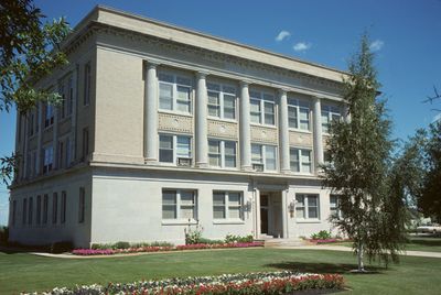
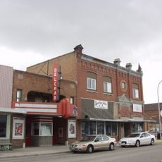
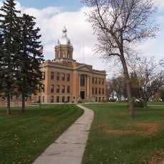
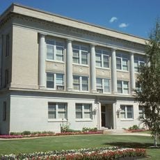
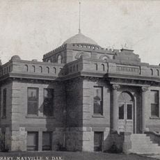
The county was established in 1883 from portions of neighboring counties. Its administrative seat later relocated from an early settlement to a more central location to better serve the growing population.

Culture

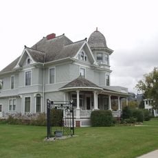
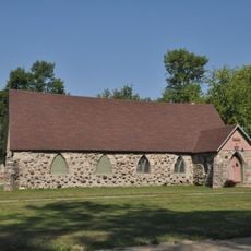
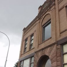
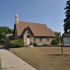
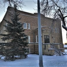
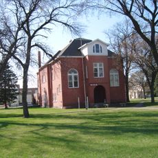
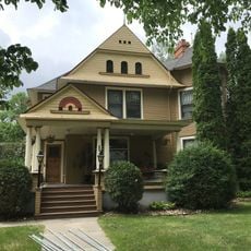
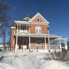
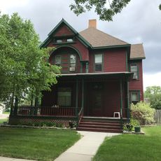
Norwegian and German communities have shaped the county's character through their traditions and building styles that remain visible today. You can see this heritage reflected in how the towns are organized and how residents gather for seasonal celebrations.

Practical

The county is traversed by several state highways that connect its different areas and neighboring regions. Keep in mind this is a rural area where services are spread out and distances between towns can be significant.

Did you know?

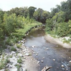
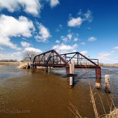
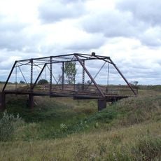
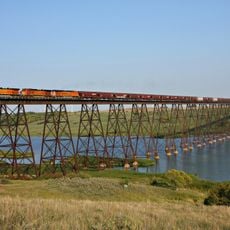
Two rivers define the natural boundaries of the area: one flows near the western edge while the other crosses through the northeastern section. These waterways played a role in early settlement patterns and continue to offer recreation opportunities for residents.

Location
Inception
1883
Capital city
Finley
Shares border with
Grand Forks County, Traill County, Cass County, Barnes County, Griggs County, Nelson County
GPS coordinates
47.46000,-97.72000
Latest update
December 15, 2025 13:20

AroundUs brings together thousands of curated places, local tips, and hidden gems, enriched daily by 60,000 contributors worldwide. Discover all places nearby (North Dakota).

Around this place
KXJB-TV mast
United States of America

KXJB-TV mast

35 km
Ronald Reagan Minuteman Missile State Historic Site
United States of America

Ronald Reagan Minuteman Missile State Historic Site

30.9 km
Hi-Line Railroad Bridge
United States of America

Hi-Line Railroad Bridge

61.6 km
Turtle River State Park
United States of America

Turtle River State Park

55.5 km
Grand Forks Air Defense Sector
United States of America

Grand Forks Air Defense Sector

59.8 km
446th Missile Squadron
United States of America

446th Missile Squadron

60.7 km
447th Missile Squadron
United States of America

447th Missile Squadron

60.7 km
448th Missile Squadron
United States of America

448th Missile Squadron

60.7 km
Carl Ben Eielson House
United States of America

Carl Ben Eielson House

28 km
Delchar Theatre
United States of America

Delchar Theatre

29.9 km
Old Stone Church
United States of America

Old Stone Church

61.3 km
Romness Bridge
United States of America

Romness Bridge

30.8 km
Goose River Bank
United States of America

Goose River Bank

30.1 km
Avalon Theatre
United States of America

Avalon Theatre

50.1 km
Griggs County Courthouse
United States of America

Griggs County Courthouse

30.5 km
All Saints Episcopal Church
United States of America

All Saints Episcopal Church

62.9 km
Northern Lights Masonic Lodge
United States of America

Northern Lights Masonic Lodge

30.4 km
Traill County Courthouse
United States of America

Traill County Courthouse

49.8 km
Larimore City Hall
United States of America

Larimore City Hall

50.1 km
First State Bank of Buxton
United States of America

First State Bank of Buxton

49.4 km
Col. William H. Robinson House
United States of America

Col. William H. Robinson House

30.3 km
Amos and Lillie Plummer House
United States of America

Amos and Lillie Plummer House

49.6 km
Blanchard Bridge
United States of America

Blanchard Bridge

40.2 km
First National Bank
United States of America

First National Bank

30 km
Stomner House
United States of America

Stomner House

30.2 km
Sheyenne River Bridge
United States of America

Sheyenne River Bridge

30.8 km
Steele County Courthouse
United States of America

Steele County Courthouse

10.7 km
Mayville Public Library
United States of America

Mayville Public Library

30 km
Show the full map
Administrative divisions
« Steele County - County in North Dakota, United States » is provided by Around Us (aroundus.com). Images and texts are derived from Wikimedia project under a Creative Commons license. You are allowed to copy, distribute, and modify copies of this page, under the conditions set by the license, as long as this note is clearly visible.

Discover hidden gems everywhere you go!

From secret cafés to breathtaking viewpoints, skip the crowded tourist spots and find places that match your style. Our app makes it easy with voice search, smart filtering, route optimization, and insider tips from travelers worldwide. Download now for the complete mobile experience.

Around Us App Screenshot

A unique approach to discovering new places

Le Figaro

All the places worth exploring

France Info

A tailor-made excursion in just a few clicks

20 Minutes

Around Us
Travel Guide & Maps
Download

Send to your phone

QR Code
1

Open the camera app on your mobile.

2

Point at the QR code with your camera. A notification will appear.

3

Tap the notification to open the link.