Enable Location

We need your location to show you interesting places around you

Discover nearby places

Find interesting locations and hidden gems around you

Precise directions

Get accurate directions and distances to places

Your location is never shared with other users. It's only used when you tap the location button.

Richland County

Log in to your account

Start exploring — it's free

Trusted by 61,908 travelers worldwide

Continue with Google
Continue with Apple
or

We will send you a code to connect

By continuing, you accept our Terms and Conditions and our Privacy Policy

Check your inbox

We've sent a pincode in your inbox. Please enter the code below.

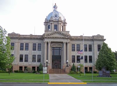
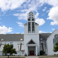
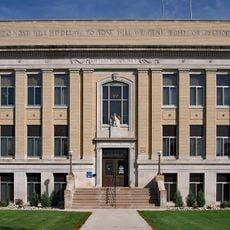
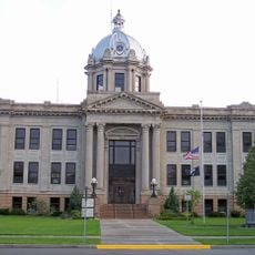
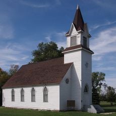
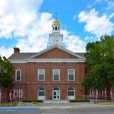
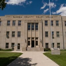
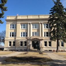
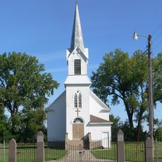
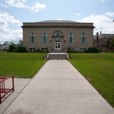
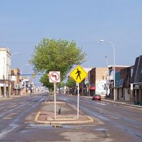
Richland County, County in southeastern North Dakota, United States

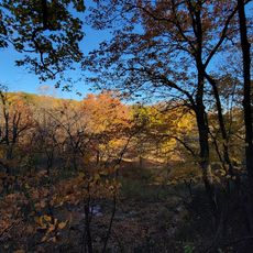
Richland County is an administrative division in southeastern North Dakota with flat terrain interrupted by gentle hills in certain sections. Two major rivers run through the county and shape much of the natural landscape.

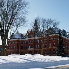
The county was established in 1873 by the Dakota Territory legislature and named after Morgan T. Rich, an early settler in the area. The region developed around the community of Wahpeton.

The county shows farming traditions through regular exhibitions and gatherings that connect different generations of residents and shape rural life today.

The county is accessible via two major highways that link it to surrounding communities and allow easy travel throughout the area. The warmer months offer the best conditions for exploring the natural features of the region.

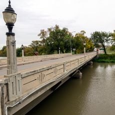
The area is shaped by two rivers that meet within its borders and create natural routes for wildlife and recreational activities. These waterways regularly draw visitors who want to explore nature.

The community of curious travelers

AroundUs brings together thousands of curated places, local tips, and hidden gems, enriched daily by 60,000 contributors worldwide.

Start exploring
Location
Inception
1873
Capital city
Wahpeton
Shares border with
Cass County, Roberts County, Clay County, Wilkin County, Traverse County, Marshall County, Sargent County, Ransom County
GPS coordinates
46.27000,-96.95000
Latest update
December 10, 2025 15:58
Around this place
Fort Abercrombie
United States of America

Fort Abercrombie

26.4 km
Red River Zoo
United States of America

Red River Zoo

64.6 km
Bluestem Amphitheater
United States of America

Bluestem Amphitheater

62.1 km
The Roger Maris Museum
United States of America

The Roger Maris Museum

66.1 km
Frederick A. and Sophia Bagg Bonanza Farm
United States of America

Frederick A. and Sophia Bagg Bonanza Farm

6.7 km
United States of America

Sts. Anne and Joachim Catholic Church

60.1 km
Gethsemane Episcopal Cathedral
United States of America

Gethsemane Episcopal Cathedral

62.7 km
Tewaukon National Wildlife Refuge
United States of America

Tewaukon National Wildlife Refuge

44.8 km
Lisbon Bridge
United States of America

Lisbon Bridge

59.5 km
Park Region Luther College
United States of America

Park Region Luther College

66.5 km
Wilkin County Courthouse
United States of America

Wilkin County Courthouse

27.9 km
Lisbon Opera House
United States of America

Lisbon Opera House

59.3 km
Richland County Courthouse
United States of America

Richland County Courthouse

26.4 km
Stiklestad United Lutheran Church
United States of America

Stiklestad United Lutheran Church

42.9 km
Wolverton Public School
United States of America

Wolverton Public School

36.8 km
Fergus Falls City Hall
United States of America

Fergus Falls City Hall

67.3 km
Ransom County Courthouse
United States of America

Ransom County Courthouse

59.6 km
Otter Tail County Courthouse
United States of America

Otter Tail County Courthouse

67.3 km
Walla Lutheran Church
United States of America

Walla Lutheran Church

45.3 km
South Wild Rice Church
United States of America

South Wild Rice Church

20.7 km
Palestine Evangelical Lutheran Church
United States of America

Palestine Evangelical Lutheran Church

45.8 km
J. A. Johnson Blacksmith Shop
United States of America

J. A. Johnson Blacksmith Shop

56.1 km
Sargent County Courthouse
United States of America

Sargent County Courthouse

56 km
Wahpeton Post Office
United States of America

Wahpeton Post Office

26.3 km
Watts Free Library
United States of America

Watts Free Library

48.3 km
John W. Mason House
United States of America

John W. Mason House

67.2 km
Sica Hollow State Park
United States of America

Sica Hollow State Park

62.5 km
Leach Public Library
United States of America

Leach Public Library

26.5 km
Show the full map
Administrative divisions
« Richland County - County in southeastern North Dakota, United States » is provided by Around Us (aroundus.com). Images and texts are derived from Wikimedia project under a Creative Commons license. You are allowed to copy, distribute, and modify copies of this page, under the conditions set by the license, as long as this note is clearly visible.

Discover hidden gems everywhere you go!

From secret cafés to breathtaking viewpoints, skip the crowded tourist spots and find places that match your style. Our app makes it easy with voice search, smart filtering, route optimization, and insider tips from travelers worldwide. Download now for the complete mobile experience.

Around Us App Screenshot

A unique approach to discovering new places

Le Figaro

All the places worth exploring

France Info

A tailor-made excursion in just a few clicks

20 Minutes

Around Us
Travel Guide & Maps
Download

Send to your phone

QR Code
1

Open the camera app on your mobile.

2

Point at the QR code with your camera. A notification will appear.

3

Tap the notification to open the link.