Enable Location

We need your location to show you interesting places around you

Discover nearby places

Find interesting locations and hidden gems around you

Precise directions

Get accurate directions and distances to places

Your location is never shared with other users. It's only used when you tap the location button.

Sheridan County

Log in to your account

Start exploring — it's free

Trusted by 61,364 travelers worldwide

Continue with Google
Continue with Apple
or

We will send you a code to connect

By continuing, you accept our Terms and Conditions and our Privacy Policy

Check your inbox

We've sent a pincode in your inbox. Please enter the code below.

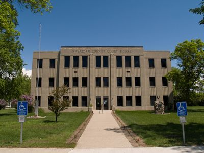
Sheridan County, County in central North Dakota, United States

Description

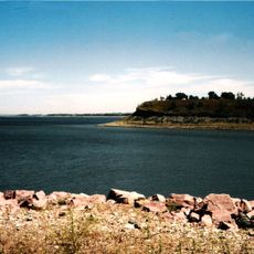
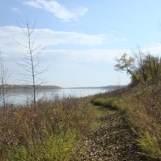
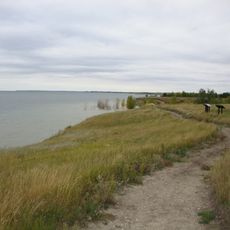
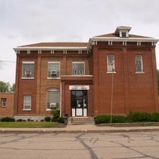
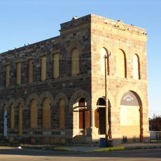
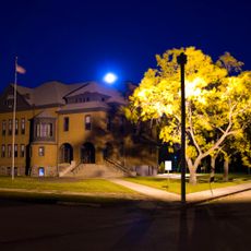
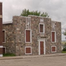
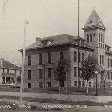
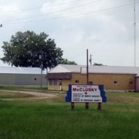
Sheridan County is an administrative division in central North Dakota with rolling hills, lakes, and ponds across its landscape. McClusky serves as the county seat where government services are based.

History

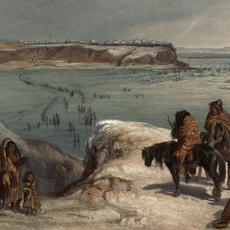
The county was established in 1873 and named after Civil War General Philip Henry Sheridan, though formal government organization did not take place until 1908. This gap reflects the slow pace of settlement in remote rural areas during that era.

Culture

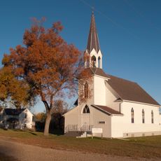
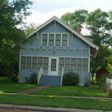
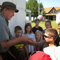
Farming shapes how people live here, with families managing land across generations and creating strong ties within small communities. These rural connections define the rhythm of daily life and bring neighbors together throughout the year.

Practical

The area is sparsely populated and requires your own transportation since public transit is limited here. Summer is the best time to visit, when roads are in good condition and the weather is mild.

Did you know?

The population shifted significantly from its peak in the 1930s as people moved away to other regions over the following decades. This pattern shows how rural areas have transformed in modern times.

Location
Inception
1873
Capital city
McClusky
Shares border with
McHenry County, Burleigh County, Pierce County, Wells County, Kidder County, McLean County
GPS coordinates
47.58000,-100.34000
Latest update
December 10, 2025 15:49

AroundUs brings together thousands of curated places, local tips, and hidden gems, enriched daily by 60,000 contributors worldwide. Discover all places nearby (North Dakota).

Around this place
United States of America

Lake Sakakawea

81.1 km
Fort Mandan
United States of America

Fort Mandan

77.9 km
Audubon National Wildlife Refuge
United States of America

Audubon National Wildlife Refuge

62.6 km
Fort Clark Trading Post State Historic Site
United States of America

Fort Clark Trading Post State Historic Site

79.4 km
Lake Sakakawea State Park
United States of America

Lake Sakakawea State Park

83.8 km
Cross Ranch State Park
United States of America

Cross Ranch State Park

64.2 km
Fort Stevenson State Park
United States of America

Fort Stevenson State Park

81.1 km
Vang Evangelical Lutheran Church
United States of America

Vang Evangelical Lutheran Church

46 km
Double Ditch
United States of America

Double Ditch

83.2 km
North Dakota Lewis and Clark Interpretive Center
United States of America

North Dakota Lewis and Clark Interpretive Center

61.3 km
Holy Trinity Ukrainian Greek Orthodox Church
United States of America

Holy Trinity Ukrainian Greek Orthodox Church

57.8 km
Lost Lake National Wildlife Refuge
United States of America

Lost Lake National Wildlife Refuge

55.5 km
Viking Lutheran Church
United States of America

Viking Lutheran Church

71 km
Liberty Baptist Church
United States of America

Liberty Baptist Church

33.8 km
Former McLean County Courthouse
United States of America

Former McLean County Courthouse

61.1 km
First Presbyterian Church of Steele
United States of America

First Presbyterian Church of Steele

86.9 km
McHenry County Courthouse
United States of America

McHenry County Courthouse

85.1 km
Westgaard Bridge
United States of America

Westgaard Bridge

69 km
Sheridan County Courthouse
United States of America

Sheridan County Courthouse

13 km
United States of America

Urbain Cote Round Barn

22.3 km
Kidder County Courthouse
United States of America

Kidder County Courthouse

86.9 km
Granville State Bank
United States of America

Granville State Bank

84.9 km
United States of America

Ingersoll School

51 km
Alfred and Clara Sevareid House
United States of America

Alfred and Clara Sevareid House

69.4 km
Wells County Courthouse
United States of America

Wells County Courthouse

54.2 km
Robinson Hall
United States of America

Robinson Hall

64.2 km
McLean County Courthouse
United States of America

McLean County Courthouse

60.9 km
Prairie Village Museum
United States of America

Prairie Village Museum

89.8 km
Show the full map
Administrative divisions
« Sheridan County - County in central North Dakota, United States » is provided by Around Us (aroundus.com). Images and texts are derived from Wikimedia project under a Creative Commons license. You are allowed to copy, distribute, and modify copies of this page, under the conditions set by the license, as long as this note is clearly visible.

Discover hidden gems everywhere you go!

From secret cafés to breathtaking viewpoints, skip the crowded tourist spots and find places that match your style. Our app makes it easy with voice search, smart filtering, route optimization, and insider tips from travelers worldwide. Download now for the complete mobile experience.

Around Us App Screenshot

A unique approach to discovering new places

Le Figaro

All the places worth exploring

France Info

A tailor-made excursion in just a few clicks

20 Minutes

Around Us
Travel Guide & Maps
Download

Send to your phone

QR Code
1

Open the camera app on your mobile.

2

Point at the QR code with your camera. A notification will appear.

3

Tap the notification to open the link.