Bowman County

Log in to your account

AroundUs is a community-driven map of interesting places, built by curious explorers like you. It grows with every review, story, and photo you share.
Connect to save your favorite spots, contribute locations, and create personalized routes.
By continuing, you accept our Terms and Conditions and our Privacy Policy
Add to collection
Map
Suggest a change
Share

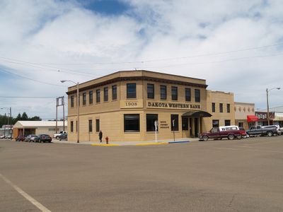
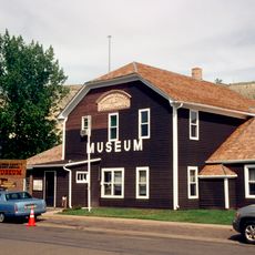
Bowman County, Administrative county in southwestern North Dakota, United States

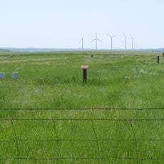
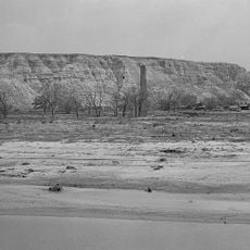
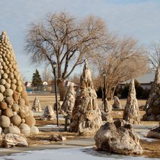
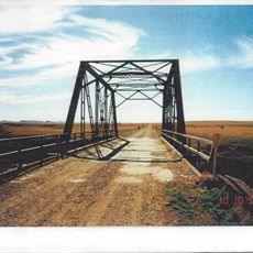
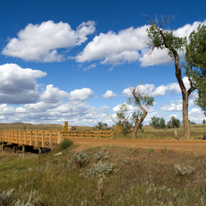
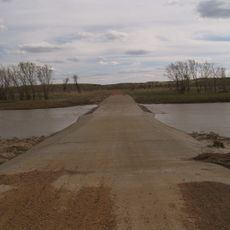
Bowman County is an administrative county in southwestern North Dakota that stretches across rolling, semi-arid terrain with mixed farmland and grazing areas. The Little Missouri River runs through the region and shapes its landscape.

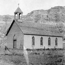
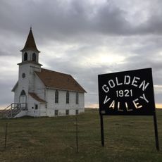
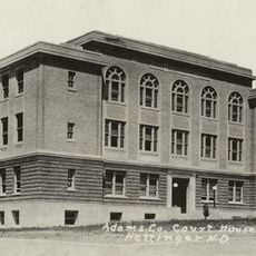
The county was established in 1883 and named after Edward M. Bowman, a member of the Dakota Territorial House of Representatives. This founding was part of the territorial expansion into the northwestern frontier.

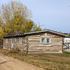
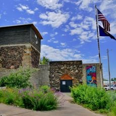
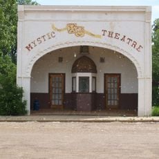
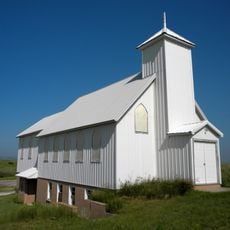
Community life here centers on farming traditions and local gatherings where residents come together to celebrate what connects them to the land. These events reflect how people maintain their ties to agricultural ways of living.

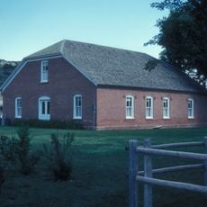
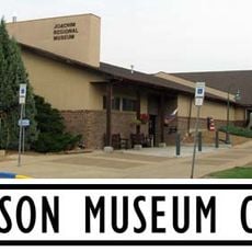
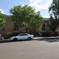
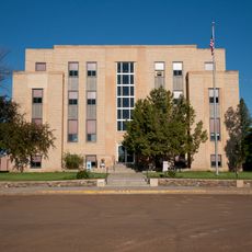
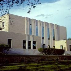
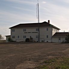
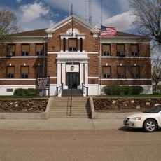
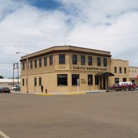
Visitors can access county services at the administration building during weekday hours, making it best to plan visits accordingly. The area is open and easy to navigate with roads that connect through the county.

The county plays a significant role in regional oil production while maintaining major wheat farming operations alongside it. This blend of energy and agricultural industries gives the area its distinctive economic character.

Location: North Dakota

Inception: 1883

Capital city: Bowman

Shares border with: Slope County, Adams County, Harding County, Fallon County

Website: http://bowmannd.com

GPS coordinates: 46.11000,-103.52000

Latest update: December 10, 2025 16:03

Photos
Around this place
Show the full map
Enchanted Highway
United States of America

Enchanted Highway

82.6 km
Medora Musical
United States of America

Medora Musical

89.6 km
Theodore Roosevelt's Maltese Cross Cabin
United States of America

Theodore Roosevelt's Maltese Cross Cabin

89.8 km
Chateau de Mores
United States of America

Chateau de Mores

89.2 km
Medicine Rocks State Park
United States of America

Medicine Rocks State Park

73.8 km
Fort Dilts
United States of America

Fort Dilts

27.2 km
De Mores Packing Plant Ruins
United States of America

De Mores Packing Plant Ruins

89.7 km
Peaceful Valley Ranch
United States of America

Peaceful Valley Ranch

94.5 km
Von Hoffman House
United States of America

Von Hoffman House

89.5 km
Lemmon Petrified Park
United States of America

Lemmon Petrified Park

107.5 km
Dickinson Museum Center
United States of America

Dickinson Museum Center

104 km
St. Mary's Catholic Church
United States of America

St. Mary's Catholic Church

89.6 km
Carter County Museum
United States of America

Carter County Museum

83 km
Billings County Courthouse
United States of America

Billings County Courthouse

89.4 km
Mystic Theatre
United States of America

Mystic Theatre

37.3 km
Initial Rock
United States of America

Initial Rock

78.1 km
Golden Valley Norwegian Lutheran Church
United States of America

Golden Valley Norwegian Lutheran Church

51.2 km
Dickinson Public Library
United States of America

Dickinson Public Library

102.8 km
Hettinger County Courthouse
United States of America

Hettinger County Courthouse

96.3 km
Stark County Courthouse
United States of America

Stark County Courthouse

102.8 km
Cedar Creek Bridge
United States of America

Cedar Creek Bridge

100.1 km
Original Slope County Courthouse
United States of America

Original Slope County Courthouse

44.1 km
Golden Valley County Courthouse
United States of America

Golden Valley County Courthouse

96.8 km
Adams County Courthouse
United States of America

Adams County Courthouse

69.5 km
Cottonwood Creek Bridge
United States of America

Cottonwood Creek Bridge

104.9 km
Peace Valley Evangelical Church and Cemetery
United States of America

Peace Valley Evangelical Church and Cemetery

51.5 km
Petrified Wood Park & Museum
United States of America

Petrified Wood Park & Museum

106.9 km
Three V Crossing
United States of America

Three V Crossing

54 km
Show the full map
Reviews

Visited this place? Tap the stars to rate it and share your experience / photos with the community! Try now! You can cancel it anytime.

Administrative divisions
« Bowman County - Administrative county in southwestern North Dakota, United States » is provided by Around Us (aroundus.com). Images and texts are derived from Wikimedia project under a Creative Commons license. You are allowed to copy, distribute, and modify copies of this page, under the conditions set by the license, as long as this note is clearly visible.

Discover hidden gems everywhere you go!

From secret cafés to breathtaking viewpoints, skip the crowded tourist spots and find places that match your style. Our app makes it easy with voice search, smart filtering, route optimization, and insider tips from travelers worldwide. Download now for the complete mobile experience.

Around Us App Screenshot

A unique approach to discovering new places

Le Figaro

All the places worth exploring

France Info

A tailor-made excursion in just a few clicks

20 Minutes