Divide County, County in North Dakota, United States.
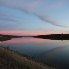
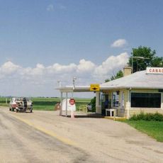
Divide County is an administrative division in the northwestern corner of North Dakota, covering rolling terrain with farmland, numerous lakes, and ponds spread throughout. Several major highways including U.S. Route 85 and various state roads run through the county, linking it to surrounding areas.
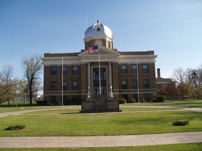
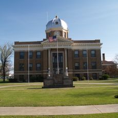
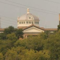
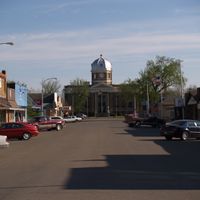
The county was established in 1910 when voters decided to divide the earlier Williams County into two parts. Crosby was selected to serve as its administrative center.
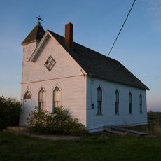
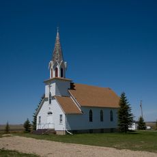
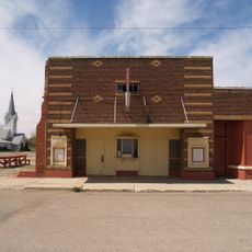
The people of this county carry strong connections to Northern European traditions, particularly through Norwegian and German roots. You can see this reflected in local celebrations and the way communities gather throughout the year.
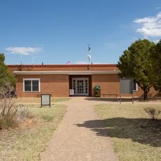
The county sits on major transportation routes that provide reasonable access for visitors. Plan ahead when traveling through rural areas, as services and facilities are spread out across the landscape.
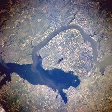
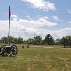
This county sits directly on the Laurentian Divide, a ridge that determines whether water flows northward toward Hudson Bay or southward toward the Gulf of Mexico. This geological location shapes the drainage patterns across the entire region.
The community of curious travelers
AroundUs brings together thousands of curated places, local tips, and hidden gems, enriched daily by 60,000 contributors worldwide.