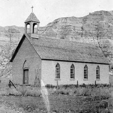
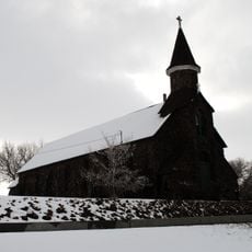
Slope County, Rural county in western North Dakota, United States.
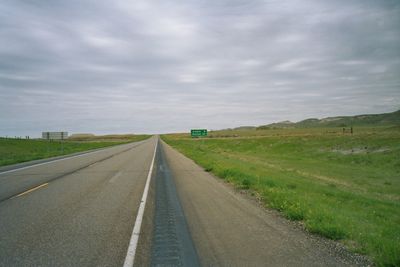
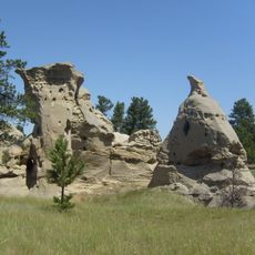
Slope County is a rural county in western North Dakota covering approximately 1,219 square miles and home to White Butte, the state's highest natural elevation. The area is connected by highways including US Route 12 and US Route 85.
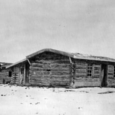
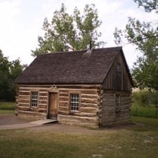
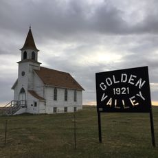
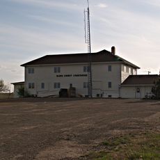
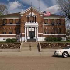
The county was established in 1914 when it separated from Billings County, and Amidon became its administrative center in 1915. This formation marked a new governance structure for the western region of the state.
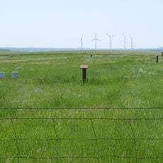
The annual Slope County Fair in August brings farmers, ranchers, and residents together to celebrate agricultural traditions and the local community. The event reflects how farming shapes the region's identity and daily rhythm.
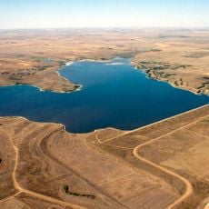
The region is sparsely populated, requiring your own transportation to explore the landscape. Plan ahead for supplies and fuel since services are limited in this remote area.
With around 700 residents, it ranks among the least populated counties in the nation. This small population creates a sense of vast open space and isolation.
The community of curious travelers
AroundUs brings together thousands of curated places, local tips, and hidden gems, enriched daily by 60,000 contributors worldwide.