Enable Location

We need your location to show you interesting places around you

Discover nearby places

Find interesting locations and hidden gems around you

Precise directions

Get accurate directions and distances to places

Your location is never shared with other users. It's only used when you tap the location button.

Adams County

Log in to your account

Start exploring — it's free

Trusted by 61,364 travelers worldwide

Continue with Google
Continue with Apple
or

We will send you a code to connect

By continuing, you accept our Terms and Conditions and our Privacy Policy

Check your inbox

We've sent a pincode in your inbox. Please enter the code below.

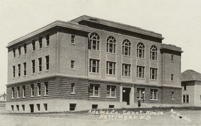
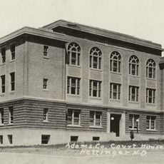
Adams County, County in North Dakota, United States.

Description

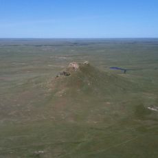
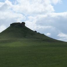
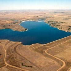
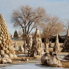
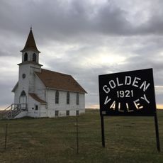
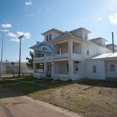
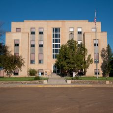
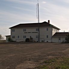
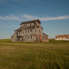
Adams County is an administrative division in southern North Dakota with Hettinger as its county seat. The landscape consists of gently rolling hills in a semi-arid setting, divided into several townships and small communities.

History

The county was established on April 14, 1907, and named after John Quincy Adams, a railroad official with the Milwaukee Road. Its creation followed the pattern of settlement expansion across the northern Great Plains during that era.

Culture

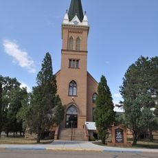
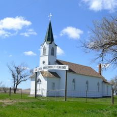
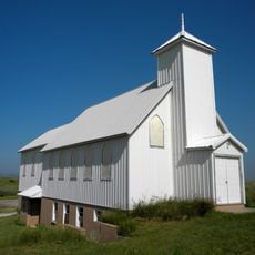
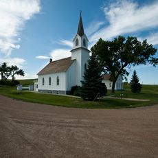
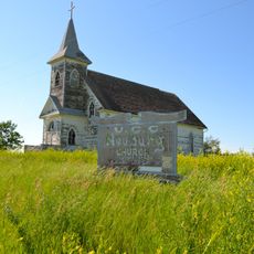
The people here have deep roots in German and Norwegian immigration, which shaped how communities were built and organized. You can see this heritage reflected in local family names and the way neighborhoods developed.

Practical

The main roads include US Route 12 and North Dakota Highways 8 and 22, which connect the various townships and towns. These routes make it easy to drive through and explore the different communities within the county.

Did you know?

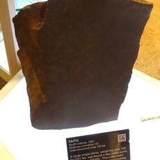
A severe tornado struck the area in 1923, causing significant damage across multiple communities and leaving a lasting mark on local memory. This storm remains one of the most destructive weather events in the region's history.

Location
Inception
April 14, 1907
Capital city
Hettinger
Shares border with
Hettinger County, Harding County, Perkins County, Grant County, Sioux County, Bowman County, Slope County, Corson County
GPS coordinates
46.09000,-102.53000
Latest update
December 10, 2025 20:01

AroundUs brings together thousands of curated places, local tips, and hidden gems, enriched daily by 60,000 contributors worldwide. Discover all places nearby (North Dakota).

Around this place
Thunder Butte
United States of America

Thunder Butte

99.5 km
Enchanted Highway
United States of America

Enchanted Highway

37.6 km
Assumption Abbey
United States of America

Assumption Abbey

90.4 km
Richardton meteorite
United States of America

Richardton meteorite

62.8 km
Heart Butte Dam
United States of America

Heart Butte Dam

79 km
Bowman-Haley Dam
United States of America

Bowman-Haley Dam

56.5 km
Fort Dilts
United States of America

Fort Dilts

98.3 km
Pretty Rock National Wildlife Refuge
United States of America

Pretty Rock National Wildlife Refuge

48.7 km
Lemmon Petrified Park
United States of America

Lemmon Petrified Park

33.9 km
Dickinson Museum Center
United States of America

Dickinson Museum Center

91.7 km
Saints Peter and Paul Church
United States of America

Saints Peter and Paul Church

104.9 km
Initial Rock
United States of America

Initial Rock

104.6 km
Golden Valley Norwegian Lutheran Church
United States of America

Golden Valley Norwegian Lutheran Church

39.2 km
Hotel Brown
United States of America

Hotel Brown

107.8 km
German Evangelical St. Johns Church
United States of America

German Evangelical St. Johns Church

97.8 km
Dickinson Public Library
United States of America

Dickinson Public Library

90.5 km
Hettinger County Courthouse
United States of America

Hettinger County Courthouse

35.3 km
Stark County Courthouse
United States of America

Stark County Courthouse

90.3 km
Evangelical Lutheran Trinity Church
United States of America

Evangelical Lutheran Trinity Church

63 km
Cedar Creek Bridge
United States of America

Cedar Creek Bridge

23.8 km
Original Slope County Courthouse
United States of America

Original Slope County Courthouse

74.9 km
Carson Roller Mill
United States of America

Carson Roller Mill

82.9 km
Adams County Courthouse
United States of America

Adams County Courthouse

12.7 km
Peace Valley Evangelical Church and Cemetery
United States of America

Peace Valley Evangelical Church and Cemetery

45 km
Faith
United States of America

Faith

91.1 km
Sims Lutheran Church
United States of America

Sims Lutheran Church

109.7 km
Petrified Wood Park & Museum
United States of America

Petrified Wood Park & Museum

33.2 km
Neuburg Congregational Church
United States of America

Neuburg Congregational Church

62.4 km
Show the full map
Administrative divisions
« Adams County - County in North Dakota, United States » is provided by Around Us (aroundus.com). Images and texts are derived from Wikimedia project under a Creative Commons license. You are allowed to copy, distribute, and modify copies of this page, under the conditions set by the license, as long as this note is clearly visible.

Discover hidden gems everywhere you go!

From secret cafés to breathtaking viewpoints, skip the crowded tourist spots and find places that match your style. Our app makes it easy with voice search, smart filtering, route optimization, and insider tips from travelers worldwide. Download now for the complete mobile experience.

Around Us App Screenshot

A unique approach to discovering new places

Le Figaro

All the places worth exploring

France Info

A tailor-made excursion in just a few clicks

20 Minutes

Around Us
Travel Guide & Maps
Download

Send to your phone

QR Code
1

Open the camera app on your mobile.

2

Point at the QR code with your camera. A notification will appear.

3

Tap the notification to open the link.