Southern Illinois, Geographic region in southern Illinois, United States
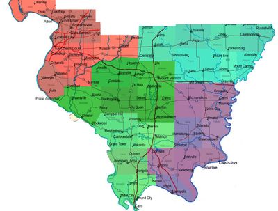
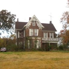
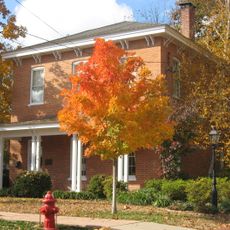
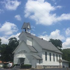
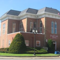
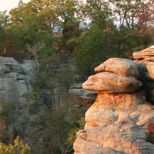
Southern Illinois is a region in the southern part of Illinois below Interstate 70, where the Mississippi River and the Ohio River form the western and eastern boundaries. The landscape shifts from rolling hills to rock formations and dense forest, especially around the Shawnee National Forest in the southernmost third.
French explorers founded the first permanent settlements along major rivers in 1673, laying the groundwork for places like Kaskaskia and Cahokia. Coal mining shaped the economy from the mid 19th century onward and attracted immigrants from Europe who left communities still visible today.
The name of the region comes simply from its location in the southern third of the state, and locals often call it Little Egypt after early settlers named towns Cairo and Thebes. Residents today maintain a cuisine and music rooted in Appalachia, which shows in barbecue traditions and bluegrass festivals.
For hiking and camping, the Shawnee National Forest is the best starting point with numerous trails and sites in the southern third of the region. The best time to visit is spring or fall when the weather is mild and forests show their colors.
The terrain was spared by glaciers during the last ice age, which is why it has hills and rock gorges absent in the flat north of the state. Coal deposits beneath the surface played a key role in industrial development and still mark some areas with old mine structures.
The community of curious travelers
AroundUs brings together thousands of curated places, local tips, and hidden gems, enriched daily by 92,711 contributors worldwide.