Chest opened
+${chestReward.xp} XP
Explorer
NOUVEAU ×${chestReward.collectible.quantity}
tapez pour fermer
Chest locked

Open chests in the app

Around Us is built for your phone — chests unlock when you walk, explore and capture nearby places.

Enable Location

We need your location to show you interesting places around you

Discover nearby places

Find interesting locations and hidden gems around you

Precise directions

Get accurate directions and distances to places

Your location is never shared with other users. It's only used when you tap the location button.

Upper Montclair

Log in to your account

Start exploring — it's free

Trusted by 72,888 travelers worldwide

Continue with Google
Continue with Apple
or

We will send you a code to connect

By continuing, you accept our Terms and Conditions and our Privacy Policy

Check your inbox

We've sent a pincode in your inbox. Please enter the code below.

Discussion Reviews 1 Photos
13.2k Popularity

Upper Montclair, Residential district in Montclair, United States.

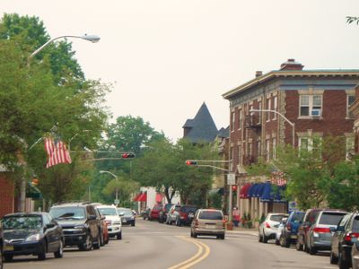
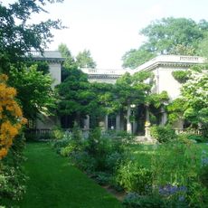
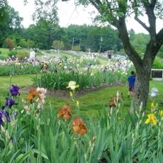
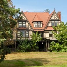
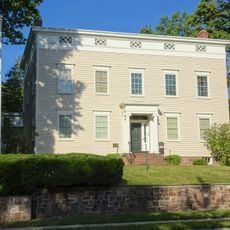
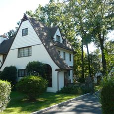
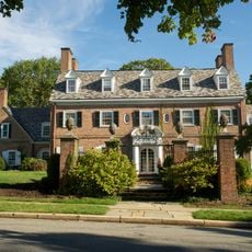
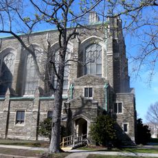
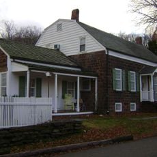
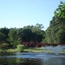
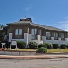
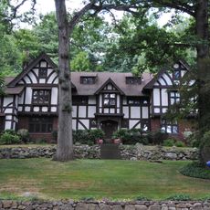
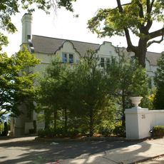
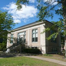
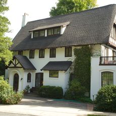
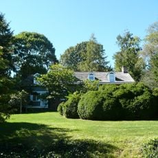
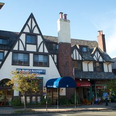
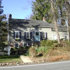
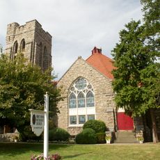
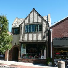
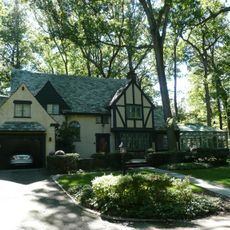
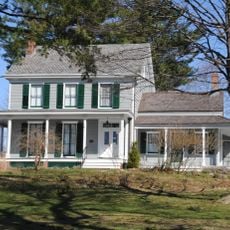
Upper Montclair is a residential area in Montclair featuring tree-lined streets and a mix of architectural styles ranging from traditional to contemporary homes. The neighborhood contains residential blocks, a local business district, and open green spaces throughout.

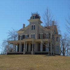
The area began in the 18th century as a rural settlement called Speertown, named after Dutch settler John Speer. It became part of Montclair Township in 1868 and gradually developed into an established residential neighborhood.

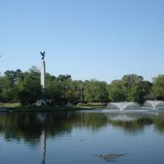
The name reflects its position on the higher slopes of Montclair, and residents actively shape the area through local markets and neighborhood gatherings. The tree-lined streets and residential character foster a strong sense of community connection.

Three New Jersey Transit train stations on the Montclair-Boonton Line connect the area to neighboring cities and New York. The local business district is walkable and provides everyday shopping without major highway traffic passing through.

The name Upper Montclair refers to the elevated terrain of the northern section, which contrasts with the lower-lying center. This topographic variation remains visible in the way the neighborhood sits on hillsides and slopes today.

The community of curious travelers

AroundUs brings together thousands of curated places, local tips, and hidden gems, enriched daily by 60,000 contributors worldwide.

Start exploring
Location
Elevation above the sea
98 m
GPS coordinates
40.84260,-74.20130
Latest update
December 7, 2025 20:41
Around this place
MSU Soccer Park at Pittser Field
United States of America

MSU Soccer Park at Pittser Field

2 km
Montclair Art Museum
United States of America

Montclair Art Museum

3.3 km
Kip's Castle Park
United States of America

Kip's Castle Park

2.5 km
Wellmont Theatre
United States of America

Wellmont Theatre

3.6 km
Van Vleck House and Gardens
United States of America

Van Vleck House and Gardens

2.4 km
Presby Memorial Iris Gardens
United States of America

Presby Memorial Iris Gardens

1.1 km
Charles S. Shultz House
United States of America

Charles S. Shultz House

3 km
Crane House and Museum
United States of America

Crane House and Museum

3.9 km
Edgemont Memorial Park
United States of America

Edgemont Memorial Park

1.8 km
United States of America

Mills Reservation

1.4 km
The House that Lives
United States of America

The House that Lives

1.5 km
The Anchorage
United States of America

The Anchorage

680 m
Van Reyper-Bond House
United States of America

Van Reyper-Bond House

1.5 km
Congregational Church
United States of America

Congregational Church

3.7 km
John and Anna Vreeland House
United States of America

John and Anna Vreeland House

3 km
Yantacaw Brook
United States of America

Yantacaw Brook

995 m
Carnegie Library
United States of America

Carnegie Library

3.5 km
Eastward
United States of America

Eastward

3.6 km
Casa Deldra
United States of America

Casa Deldra

3.3 km
Free Public Library, Upper Montclair Branch
United States of America

Free Public Library, Upper Montclair Branch

362 m
J. M. Chapman House
United States of America

J. M. Chapman House

3.1 km
Egbert Farm
United States of America

Egbert Farm

2.2 km
Post Office Building, Upper Montclair
United States of America

Post Office Building, Upper Montclair

686 m
Reynier Speer House
United States of America

Reynier Speer House

2 km
First Methodist Episcopal Church
United States of America

First Methodist Episcopal Church

3.4 km
Bradner's Pharmacy
United States of America

Bradner's Pharmacy

1.5 km
Von Schmid House
United States of America

Von Schmid House

1.1 km
Canfield-Morgan House
United States of America

Canfield-Morgan House

3.5 km
Show the full map
Reviews
Share your experience

No review yet

Discussions
Start a discussion...

No discussion yet

« Upper Montclair - Residential district in Montclair, United States » is provided by Around Us (aroundus.com). Images and texts are derived from Wikimedia project under a Creative Commons license. You are allowed to copy, distribute, and modify copies of this page, under the conditions set by the license, as long as this note is clearly visible.

Discover hidden gems everywhere you go!

From secret cafés to breathtaking viewpoints, skip the crowded tourist spots and find places that match your style. Our app makes it easy with voice search, smart filtering, route optimization, and insider tips from travelers worldwide. Download now for the complete mobile experience.

Around Us App Screenshot

A unique approach to discovering new places

Le Figaro

All the places worth exploring

France Info

A tailor-made excursion in just a few clicks

20 Minutes

Around Us
Travel Guide & Maps
Download

Send to your phone

QR Code
1

Open the camera app on your mobile.

2

Point at the QR code with your camera. A notification will appear.

3

Tap the notification to open the link.