Enable Location

We need your location to show you interesting places around you

Discover nearby places

Find interesting locations and hidden gems around you

Precise directions

Get accurate directions and distances to places

Your location is never shared with other users. It's only used when you tap the location button.

Greenville

Log in to your account

Start exploring — it's free

Trusted by 62,052 travelers worldwide

Continue with Google
Continue with Apple
or

We will send you a code to connect

By continuing, you accept our Terms and Conditions and our Privacy Policy

Check your inbox

We've sent a pincode in your inbox. Please enter the code below.

Greenville, County seat in North Carolina, United States

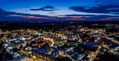
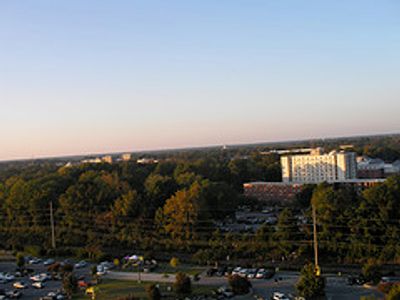
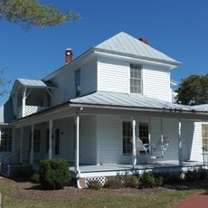
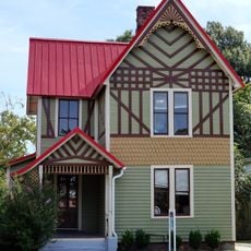
Greenville lies in the Coastal Plain of North Carolina at 17 meters (56 feet) elevation and serves as the main medical and university center in the eastern part of the state. The town spreads across several neighborhoods with residential areas, a business district, and academic facilities connected by a regular street grid.

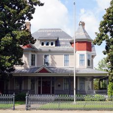
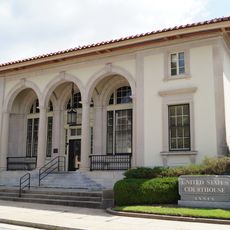
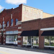
The settlement was founded in 1786 as a small trading post and grew during the 19th century through the development of tobacco warehouses and plantations. In the 20th century, the expansion of the university and medical facilities transformed the town into a regional center for education and healthcare.

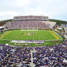
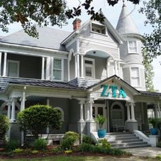
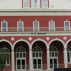
East Carolina University shapes the rhythm of the town and draws students from across the region. Stallings Stadium hosts the Little League Softball World Series each year, turning the town into a gathering point for baseball fans from around the country.

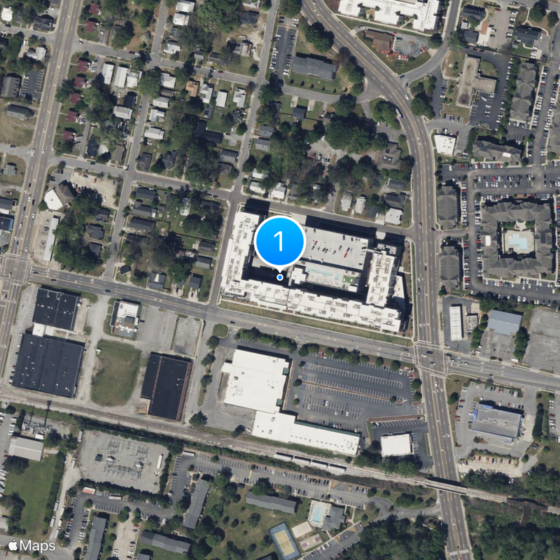
The town is served by public buses and trolleys that connect residential areas with the downtown area, shopping centers, and the university. The street layout is straightforward and makes it easy to navigate between different neighborhoods.

The annual PirateFest turns Town Common park into a festival ground with music, vendor stalls, and activities for the whole community. The name of the event references the local university mascot and draws people from across the region.

The community of curious travelers

AroundUs brings together thousands of curated places, local tips, and hidden gems, enriched daily by 60,000 contributors worldwide.

Start exploring
Location
Inception
1786
Elevation above the sea
17 m
Part of
North Carolina Coastal Plain
GPS coordinates
35.60167,-77.37250
Latest update
December 14, 2025 11:01
Around this place
Dowdy–Ficklen Stadium
United States of America

Dowdy–Ficklen Stadium

877 m
Williams Arena at Minges Coliseum
United States of America

Williams Arena at Minges Coliseum

675 m
Pitt County Courthouse
United States of America

Pitt County Courthouse

1.3 km
William H. Long House
United States of America

William H. Long House

17.4 km
Red Banks Primitive Baptist Church
United States of America

Red Banks Primitive Baptist Church

4.4 km
Robert Lee Humber House
United States of America

Robert Lee Humber House

1 km
United States of America

Ayden Historic District

15.4 km
James L. Fleming House
United States of America

James L. Fleming House

1.3 km
United States of America

Oakmont

3 km
E. B. Ficklen House
United States of America

E. B. Ficklen House

1.4 km
United States of America

Renston Rural Historic District

12.8 km
Jesse R. Moye House
United States of America

Jesse R. Moye House

1.2 km
United States Post Office
United States of America

United States Post Office

1.3 km
Dickinson Avenue Historic District
United States of America

Dickinson Avenue Historic District

920 m
United States of America

Greenwreath

2.8 km
United States of America

Kittrell-Dail House

14.4 km
Cox-Ange House
United States of America

Cox-Ange House

8.5 km
Jones-Lee House
United States of America

Jones-Lee House

679 m
United States of America

Falkland Historic District

16.8 km
United States of America

Spencer Harris House

14.1 km
United States of America

Guy Smith Park

2 km
Wright Auditorium
United States of America

Wright Auditorium

929 m
United States of America

Highway 264 Playhouse Theatre

5.4 km
United States of America

Brook Valley Country Club

4.4 km
United States of America

Greenville Country Club

3.6 km
United States of America

Bradford Creek Public Golf Course

7.7 km
United States of America

Ironwood Golf & Country Club

8 km
United States of America

Theater Uptown

1.1 km
Show the full map
« Greenville - County seat in North Carolina, United States » is provided by Around Us (aroundus.com). Images and texts are derived from Wikimedia project under a Creative Commons license. You are allowed to copy, distribute, and modify copies of this page, under the conditions set by the license, as long as this note is clearly visible.

Discover hidden gems everywhere you go!

From secret cafés to breathtaking viewpoints, skip the crowded tourist spots and find places that match your style. Our app makes it easy with voice search, smart filtering, route optimization, and insider tips from travelers worldwide. Download now for the complete mobile experience.

Around Us App Screenshot

A unique approach to discovering new places

Le Figaro

All the places worth exploring

France Info

A tailor-made excursion in just a few clicks

20 Minutes

Around Us
Travel Guide & Maps
Download

Send to your phone

QR Code
1

Open the camera app on your mobile.

2

Point at the QR code with your camera. A notification will appear.

3

Tap the notification to open the link.