Enable Location

We need your location to show you interesting places around you

Discover nearby places

Find interesting locations and hidden gems around you

Precise directions

Get accurate directions and distances to places

Your location is never shared with other users. It's only used when you tap the location button.

Pitt County

Log in to your account

Start exploring — it's free

Trusted by 62,036 travelers worldwide

Continue with Google
Continue with Apple
or

We will send you a code to connect

By continuing, you accept our Terms and Conditions and our Privacy Policy

Check your inbox

We've sent a pincode in your inbox. Please enter the code below.

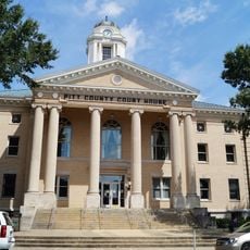
Pitt County, Administrative county in eastern North Carolina, US

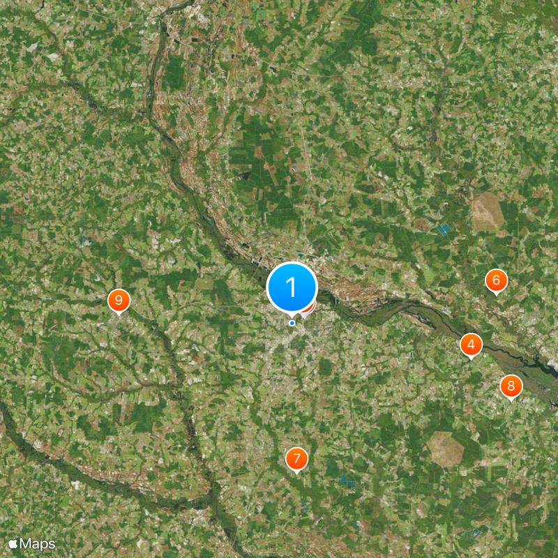
Pitt County is an administrative county in eastern North Carolina with a landscape shaped by multiple waterways. The territory features rivers and creeks including the Tar River and Swift Creek that flow through forests and fields.

The area received its name in 1760 from William Pitt the Elder, a prominent statesman in the British government. This naming reflects the period when the region was under British control.

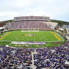
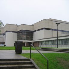
East Carolina University shapes the daily life of many residents and serves as a gathering place for students and faculty members. The institution influences the community through events, programs, and its role as a major employer in the area.

The Leroy James Farmers Market offers fresh local products and operates special markets throughout different seasons. Visitors can find produce and goods directly from local producers in one convenient location.

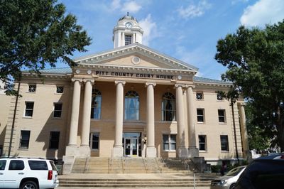
The area operates a specialized court system called the Behavioral Health Treatment Court that offers alternatives to regular probation. This program is designed for people who need medical or mental health support.

The community of curious travelers

AroundUs brings together thousands of curated places, local tips, and hidden gems, enriched daily by 60,000 contributors worldwide.

Start exploring
Location
Inception
1760
Capital city
Greenville
Shares border with
Martin County, Beaufort County, Craven County, Lenoir County, Greene County, Wilson County, Edgecombe County
GPS coordinates
35.59000,-77.38000
Latest update
December 20, 2025 12:10
Around this place
Dowdy–Ficklen Stadium
United States of America

Dowdy–Ficklen Stadium

1.5 km
Williams Arena at Minges Coliseum
United States of America

Williams Arena at Minges Coliseum

1.4 km
Grimesland Plantation
United States of America

Grimesland Plantation

19.6 km
Pitt County Courthouse
United States of America

Pitt County Courthouse

2.7 km
United States of America

Belfont Plantation House

22.2 km
William H. Long House
United States of America

William H. Long House

16.1 km
Trinity Episcopal Church
United States of America

Trinity Episcopal Church

25 km
United States of America

Farmville Historic District

18.7 km
Bracebridge Hall
United States of America

Bracebridge Hall

24.1 km
Red Banks Primitive Baptist Church
United States of America

Red Banks Primitive Baptist Church

4.1 km
Robert Lee Humber House
United States of America

Robert Lee Humber House

2.4 km
United States of America

Benjamin May-Lewis House

23.9 km
Robersonville Primitive Baptist Church
United States of America

Robersonville Primitive Baptist Church

28.3 km
United States of America

Ayden Historic District

13.9 km
James L. Fleming House
United States of America

James L. Fleming House

2.6 km
United States of America

Snow Hill Colored High School

30.8 km
United States of America

Oakmont

1.6 km
E. B. Ficklen House
United States of America

E. B. Ficklen House

2.5 km
Jesse R. Moye House
United States of America

Jesse R. Moye House

2.5 km
United States of America

Renston Rural Historic District

11.4 km
United States Post Office
United States of America

United States Post Office

2.7 km
Dickinson Avenue Historic District
United States of America

Dickinson Avenue Historic District

1.9 km
United States of America

St. Barnabas Episcopal Church

30.5 km
United States of America

W. J. Little House

28.5 km
United States of America

Kittrell-Dail House

13 km
United States of America

Greenwreath

3.1 km
United States of America

Piney Prospect

30.1 km
United States of America

Vinedale

29.4 km
Show the full map
Administrative divisions
« Pitt County - Administrative county in eastern North Carolina, US » is provided by Around Us (aroundus.com). Images and texts are derived from Wikimedia project under a Creative Commons license. You are allowed to copy, distribute, and modify copies of this page, under the conditions set by the license, as long as this note is clearly visible.

Discover hidden gems everywhere you go!

From secret cafés to breathtaking viewpoints, skip the crowded tourist spots and find places that match your style. Our app makes it easy with voice search, smart filtering, route optimization, and insider tips from travelers worldwide. Download now for the complete mobile experience.

Around Us App Screenshot

A unique approach to discovering new places

Le Figaro

All the places worth exploring

France Info

A tailor-made excursion in just a few clicks

20 Minutes

Around Us
Travel Guide & Maps
Download

Send to your phone

QR Code
1

Open the camera app on your mobile.

2

Point at the QR code with your camera. A notification will appear.

3

Tap the notification to open the link.