
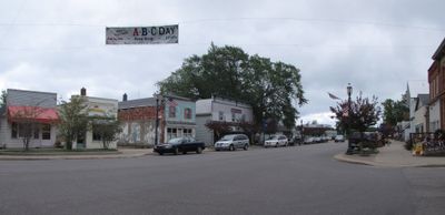
Port Hope, village in Michigan, USA
Location: Huron County
Elevation above the sea: 185 m
GPS coordinates: 43.94083,-82.71278
Latest update: April 4, 2025 08:28

Turnip Rock
24.3 km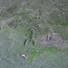
Sanilac Petroglyphs Historic State Park
40 km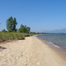
Port Crescent State Park
28.3 km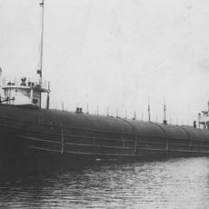
SS Clifton
48 km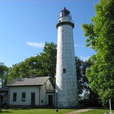
Pointe aux Barques Light
11.2 km
Grindstone City Historic District
19.5 km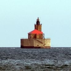
Port Austin Light
26.8 km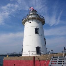
Harbor Beach Light
12.4 km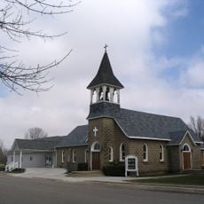
St. Peter's Lutheran Church Kinde, Michigan
22.8 km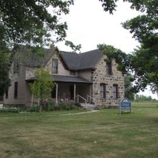
Grice House Museum
10.6 km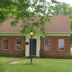
Huron City Historic District
13.9 km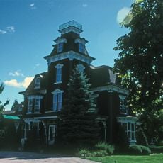
Charles G. Learned House
25.2 km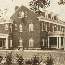
Albert E. Sleeper House
28.1 km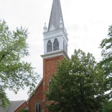
St. John's Lutheran Church
469 m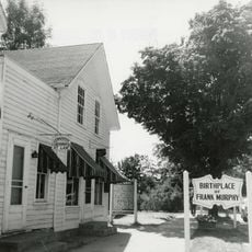
Frank Murphy Birthplace
12 km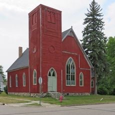
First Methodist Episcopal Church
328 m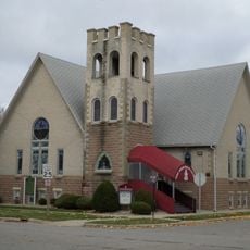
First Presbyterian Church
52.9 km
Masonic Temple
54 m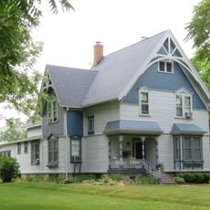
Frederick H. and Elizabeth Stafford House
181 m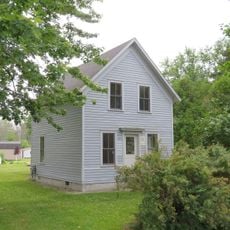
W. R. Stafford Worker's House
204 m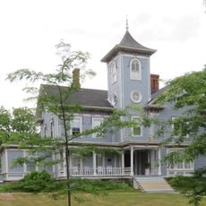
William R. Stafford House
159 m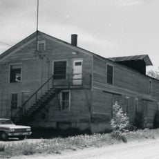
Bay Port Historic Commercial Fishing District
53.9 km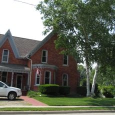
Smith-Culhane House
25.3 km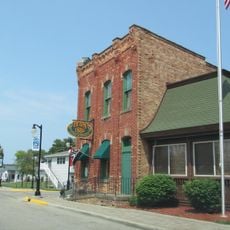
Winsor and Snover Bank Building
25.3 km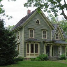
Isaac Leuty House
181 m
W. R. Stafford Planing Mill Site
428 m
Caseville Harbor Light
45.5 km
Bad Axe Theatre
27.5 kmVisited this place? Tap the stars to rate it and share your experience / photos with the community! Try now! You can cancel it anytime.
Discover hidden gems everywhere you go!
From secret cafés to breathtaking viewpoints, skip the crowded tourist spots and find places that match your style. Our app makes it easy with voice search, smart filtering, route optimization, and insider tips from travelers worldwide. Download now for the complete mobile experience.

A unique approach to discovering new places❞
— Le Figaro
All the places worth exploring❞
— France Info
A tailor-made excursion in just a few clicks❞
— 20 Minutes