Chest opened
+${chestReward.xp} XP
Explorer
NOUVEAU ×${chestReward.collectible.quantity}
tapez pour fermer
Chest locked

Open chests in the app

Around Us is built for your phone — chests unlock when you walk, explore and capture nearby places.

Enable Location

We need your location to show you interesting places around you

Discover nearby places

Find interesting locations and hidden gems around you

Precise directions

Get accurate directions and distances to places

Your location is never shared with other users. It's only used when you tap the location button.

Cumberland Valley

Log in to your account

Start exploring — it's free

Trusted by 72,917 travelers worldwide

Continue with Google
Continue with Apple
or

We will send you a code to connect

By continuing, you accept our Terms and Conditions and our Privacy Policy

Check your inbox

We've sent a pincode in your inbox. Please enter the code below.

Cumberland Valley
Discussion Reviews 1 Photos
18.5k Popularity

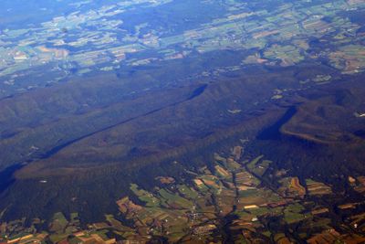
Cumberland Valley, Valley in Pennsylvania, United States.

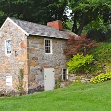
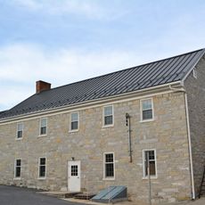
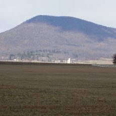
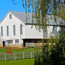
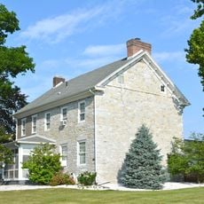
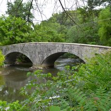
Cumberland Valley is a wide agricultural area in Pennsylvania that stretches about 73 miles from northeast to southwest between mountain ridges. The landscape contains farmland, forests, and small towns spread across rolling terrain.

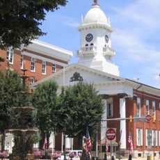
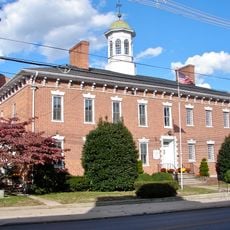
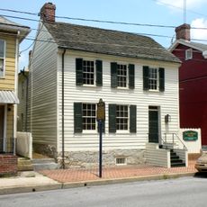
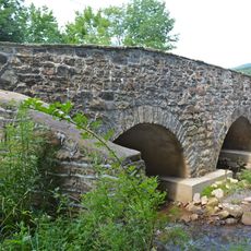
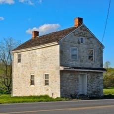
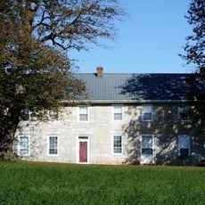
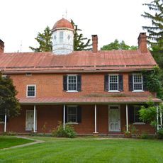
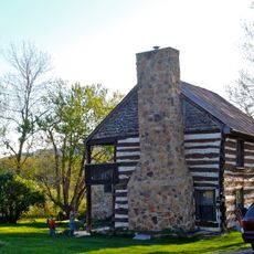
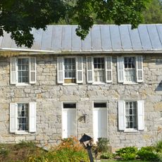
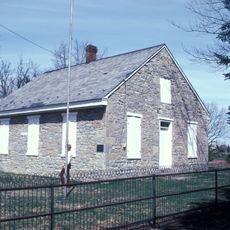
The valley was an important settlement area for Native Americans and European colonists during the 18th century as Pennsylvania developed. These early settlement patterns became foundational to the region's identity.

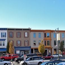
Towns throughout the valley like Carlisle and Mechanicsburg host craft fairs and farm shows where locals gather to celebrate handmade goods and agricultural traditions. These events reflect how residents stay connected to farming and small-scale production.

The Beer Trail links several local breweries across the region where visitors can sample regional drinks and experience the local hospitality. The valley is accessible by car with good roads and offers many stops at farmers markets and country inns.

Sections of the Appalachian Trail run through the valley, linking this area to one of North America's longest hiking routes. The region also serves as part of a water system that connects two major rivers on the eastern coast.

The community of curious travelers

AroundUs brings together thousands of curated places, local tips, and hidden gems, enriched daily by 60,000 contributors worldwide.

Start exploring
Location
Part of
Great Appalachian Valley
GPS coordinates
39.93000,-77.72000
Latest update
December 7, 2025 19:22
Around this place
Wilson College
United States of America

Wilson College

6.1 km
Franklin County Courthouse
United States of America

Franklin County Courthouse

5.1 km
Franklin County Jail
United States of America

Franklin County Jail

5.2 km
John Brown House
United States of America

John Brown House

5.3 km
Rocky Spring Presbyterian Church
United States of America

Rocky Spring Presbyterian Church

7.5 km
Zion Reformed Church
United States of America

Zion Reformed Church

4.8 km
Capitol Theatre
United States of America

Capitol Theatre

5 km
Masonic Temple
United States of America

Masonic Temple

5.2 km
Chambersburg Historic District
United States of America

Chambersburg Historic District

5 km
Brotherton Farm
United States of America

Brotherton Farm

9.1 km
Gass House
United States of America

Gass House

7.7 km
Parnell Knob
United States of America

Parnell Knob

12.2 km
Coldbrook Farm
United States of America

Coldbrook Farm

6.7 km
Greencastle Historic District
United States of America

Greencastle Historic District

15.7 km
James Finley House
United States of America

James Finley House

10.3 km
Horse Valley Bridge
United States of America

Horse Valley Bridge

15.5 km
Mt. Pleasant Iron Works House
United States of America

Mt. Pleasant Iron Works House

15.8 km
Townhouse Row
United States of America

Townhouse Row

5 km
Chambersburg and Bedford Turnpike Road Company Toll House
United States of America

Chambersburg and Bedford Turnpike Road Company Toll House

8.2 km
Bridge between Guilford and Hamilton Townships
United States of America

Bridge between Guilford and Hamilton Townships

5 km
Franklin Furnace Historic District
United States of America

Franklin Furnace Historic District

9.3 km
Church Hill Farm
United States of America

Church Hill Farm

15.2 km
Corker Hill
United States of America

Corker Hill

12.9 km
Widow Donaldson Place
United States of America

Widow Donaldson Place

15.1 km
Findlay Farm
United States of America

Findlay Farm

16.6 km
Woodland
United States of America

Woodland

10.7 km
Culbertson-Harbison Farm
United States of America

Culbertson-Harbison Farm

12.4 km
Old Brown's Mill School
United States of America

Old Brown's Mill School

11.2 km
Show the full map
Reviews
Share your experience

No review yet

Discussions
Start a discussion...

No discussion yet

« Cumberland Valley - Valley in Pennsylvania, United States » is provided by Around Us (aroundus.com). Images and texts are derived from Wikimedia project under a Creative Commons license. You are allowed to copy, distribute, and modify copies of this page, under the conditions set by the license, as long as this note is clearly visible.

Discover hidden gems everywhere you go!

From secret cafés to breathtaking viewpoints, skip the crowded tourist spots and find places that match your style. Our app makes it easy with voice search, smart filtering, route optimization, and insider tips from travelers worldwide. Download now for the complete mobile experience.

Around Us App Screenshot

A unique approach to discovering new places

Le Figaro

All the places worth exploring

France Info

A tailor-made excursion in just a few clicks

20 Minutes

Around Us
Travel Guide & Maps
Download

Send to your phone

QR Code
1

Open the camera app on your mobile.

2

Point at the QR code with your camera. A notification will appear.

3

Tap the notification to open the link.