
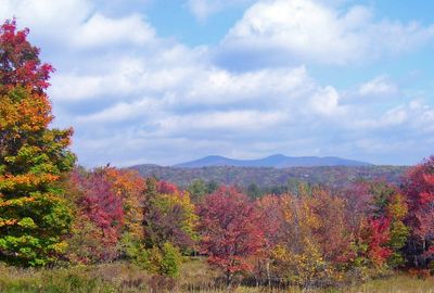
Denning, human settlement in New York, United States of America
Location: Ulster County
Inception: 1849
GPS coordinates: 41.95000,-74.48330
Latest update: October 25, 2025 13:25
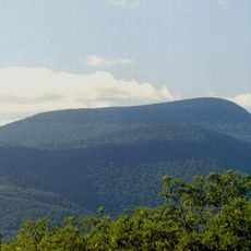
Slide Mountain
9.7 km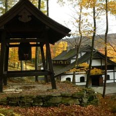
Dai Bosatsu Zendo Kongo-ji
15.9 km
Peekamoose Mountain
7.1 km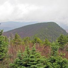
Wittenberg Mountain
13 km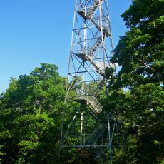
Red Hill Fire Observation Station
4 km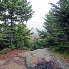
Cornell Mountain
12 km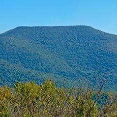
Table Mountain
6.6 km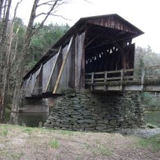
Halls Mills Bridge
11.1 km
Balsam Cap
10.8 km
Scenic viewpoint
7.7 km
Scenic viewpoint
12 km
Table Mountain Upper View
6.5 km
Table Mountain Lower View
5.4 km
Van Wyck Viewpoint
3.9 km
Flying Squirrel
4.4 km
Scenic viewpoint
7.9 km
Scenic viewpoint
9.7 km
Scenic viewpoint
14.4 km
Peekamoose Viewpoint
7.1 km
Scenic viewpoint
13 km
Scenic viewpoint
9.9 km
Scenic viewpoint
8.7 km
Scenic viewpoint
9.3 km
Reconnoiter Rock
5.6 km
Scenic viewpoint
6.4 km
Scenic viewpoint
5.1 km
Scenic viewpoint
6.4 km
Scenic viewpoint
6.4 kmReviews
Visited this place? Tap the stars to rate it and share your experience / photos with the community! Try now! You can cancel it anytime.
Discover hidden gems everywhere you go!
From secret cafés to breathtaking viewpoints, skip the crowded tourist spots and find places that match your style. Our app makes it easy with voice search, smart filtering, route optimization, and insider tips from travelers worldwide. Download now for the complete mobile experience.

A unique approach to discovering new places❞
— Le Figaro
All the places worth exploring❞
— France Info
A tailor-made excursion in just a few clicks❞
— 20 Minutes