Chest opened
+${chestReward.xp} XP
Explorer
NOUVEAU ×${chestReward.collectible.quantity}
tapez pour fermer
Chest locked

Open chests in the app

Around Us is built for your phone — chests unlock when you walk, explore and capture nearby places.

Enable Location

We need your location to show you interesting places around you

Discover nearby places

Find interesting locations and hidden gems around you

Precise directions

Get accurate directions and distances to places

Your location is never shared with other users. It's only used when you tap the location button.

Log in to your account

Start exploring — it's free

Trusted by 72,959 travelers worldwide

Continue with Google
Continue with Apple
or

We will send you a code to connect

By continuing, you accept our Terms and Conditions and our Privacy Policy

Check your inbox

We've sent a pincode in your inbox. Please enter the code below.

Blufflands State Trail
Discussion Reviews Photo
2.9k Popularity

Blufflands State Trail, Weg in den Vereinigten Staaten

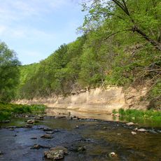
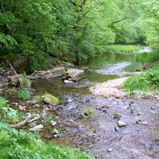
Blufflands State Trail is a pathway in southeastern Minnesota that winds along the Mississippi River and through rolling hills. The route follows an abandoned railroad line and is covered with gravel, making it accessible for walking, biking, and running.

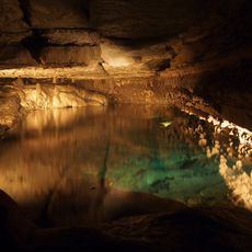
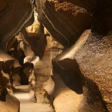
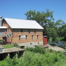
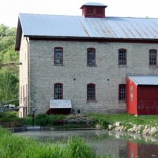
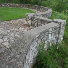
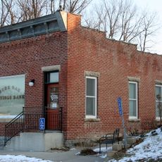
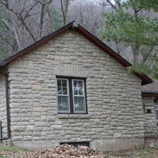
The trail was built on the foundation of an old railroad line that once carried goods and people through the region. Though the tracks are gone, old bridges and railroad embankments still stand as reminders of transportation history from the 1800s.

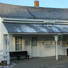
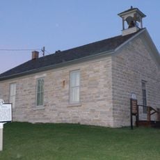
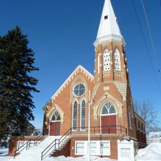
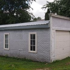
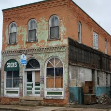
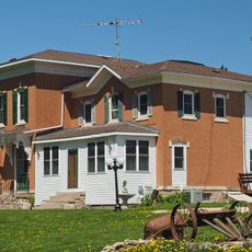
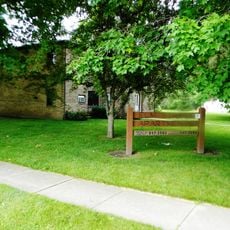
The trail passes through rural areas and small towns where the connection between people and the land remains visible. Local groups maintain the path and use it as a gathering place for outdoor activities and community events.

Wear sturdy shoes and bring water, as the trail has limited facilities along the route. The path is open year-round, but weather conditions vary by season, so dress in layers to adapt to changing conditions.

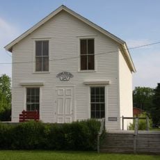
The trail links old farm structures like stone walls and fences with modern outdoor recreation, creating the sense of walking through a living museum. This blend of past agricultural use and present-day leisure reveals how the landscape has quietly transformed over time.

The community of curious travelers

AroundUs brings together thousands of curated places, local tips, and hidden gems, enriched daily by 60,000 contributors worldwide.

Start exploring
Location
GPS coordinates
43.71120,-92.04280
Latest update
February 9, 2026 08:23
Around this place
Forestville/Mystery Cave State Park
United States of America

Forestville/Mystery Cave State Park

15.8 km
Whitewater State Park
United States of America

Whitewater State Park

38.7 km
Beaver Creek Valley State Park
United States of America

Beaver Creek Valley State Park

37.7 km
Niagara Cave
United States of America

Niagara Cave

22 km
Burr Oak House/Masters Hotel
United States of America

Burr Oak House/Masters Hotel

31.6 km
Lidtke Mill
United States of America

Lidtke Mill

33.4 km
Schech Mill
United States of America

Schech Mill

37.5 km
Howard County Courthouse
United States of America

Howard County Courthouse

38 km
Locust School
United States of America

Locust School

41.3 km
Trinity Episcopal Church
United States of America

Trinity Episcopal Church

28.8 km
Cresco Opera House
United States of America

Cresco Opera House

38.1 km
Lenora Methodist Episcopal Church
United States of America

Lenora Methodist Episcopal Church

20.1 km
George Haven House
United States of America

George Haven House

19 km
Kellow House
United States of America

Kellow House

37.9 km
Kinney Octagon Barn
United States of America

Kinney Octagon Barn

30.1 km
Spring Valley Methodist Episcopal Church
United States of America

Spring Valley Methodist Episcopal Church

28.3 km
Ellen Lovell House
United States of America

Ellen Lovell House

19 km
Preston Overlook
United States of America

Preston Overlook

4.9 km
Spring Grove Public Library
United States of America

Spring Grove Public Library

36.6 km
Pietenpol Workshop and Garage
United States of America

Pietenpol Workshop and Garage

24.1 km
St. Charles City Bakery
United States of America

St. Charles City Bakery

29.2 km
Chatfield Public Library
United States of America

Chatfield Public Library

18.9 km
Benjamin Ellsworth House
United States of America

Benjamin Ellsworth House

30.6 km
South Ward School
United States of America

South Ward School

38.7 km
Burr Oak Savings Bank
United States of America

Burr Oak Savings Bank

31.6 km
Pleasant Grove Masonic Lodge
United States of America

Pleasant Grove Masonic Lodge

32.7 km
Whitewater State Park CCC/WPA/Rustic Style Historic Resources
United States of America

Whitewater State Park CCC/WPA/Rustic Style Historic Resources

38.2 km
Medical Pioneers of Minnesota Historical Marker
United States of America

Medical Pioneers of Minnesota Historical Marker

33.5 km
Show the full map
Reviews
Share your experience

No review yet

Discussions
Start a discussion...

No discussion yet

« Blufflands State Trail - Weg in den Vereinigten Staaten » is provided by Around Us (aroundus.com). Images and texts are derived from Wikimedia project under a Creative Commons license. You are allowed to copy, distribute, and modify copies of this page, under the conditions set by the license, as long as this note is clearly visible.

Discover hidden gems everywhere you go!

From secret cafés to breathtaking viewpoints, skip the crowded tourist spots and find places that match your style. Our app makes it easy with voice search, smart filtering, route optimization, and insider tips from travelers worldwide. Download now for the complete mobile experience.

Around Us App Screenshot

A unique approach to discovering new places

Le Figaro

All the places worth exploring

France Info

A tailor-made excursion in just a few clicks

20 Minutes

Around Us
Travel Guide & Maps
Download

Send to your phone

QR Code
1

Open the camera app on your mobile.

2

Point at the QR code with your camera. A notification will appear.

3

Tap the notification to open the link.