
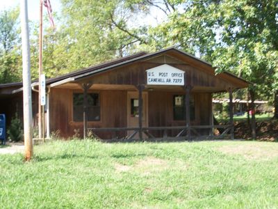
Canehill, unincorporated community in Washington County, Arkansas
Location: Washington County
Inception: 1839
Elevation above the sea: 402 m
GPS coordinates: 35.90860,-94.39670
Latest update: March 27, 2025 12:40

Devil's Den State Park
19.5 km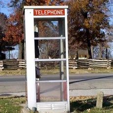
Prairie Grove Airlight Outdoor Telephone Booth
11.4 km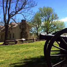
Prairie Grove Battlefield State Park
11.4 km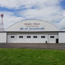
Arkansas Air & Military Museum
22.9 km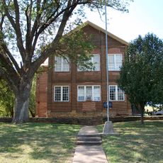
Cane Hill College
255 m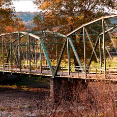
Woolsey Bridge
20.7 km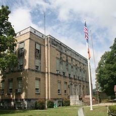
Adair County Courthouse
23.4 km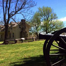
Borden House
11.9 km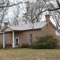
Lake-Bell House
13.3 km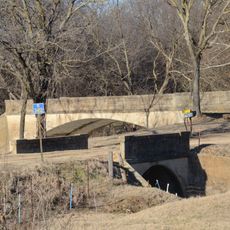
Twin Bridges Historic District
6.2 km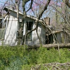
Earle House
408 m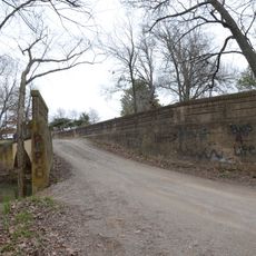
Highway B-29 Bridge
13.2 kmOpera Block
18.1 km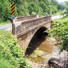
Cane Hill Road Bridge
15 km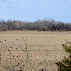
Cane Hill Battlefield
6.4 km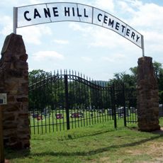
Cane Hill Cemetery
630 m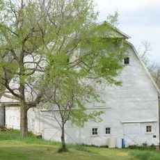
Johnson Barn
20.9 km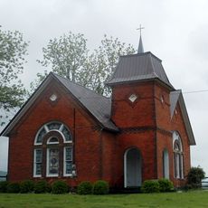
Walnut Grove Presbyterian Church
15.6 km
Willis Noll House
18.3 km
Blackburn House
197 m
D.N. Edmiston House
258 m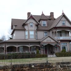
John Edmiston House
559 m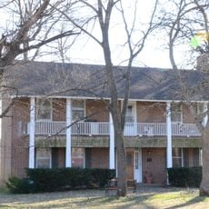
John Tilley House
9.4 km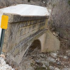
Evansville-Dutch Mills Road Bridge
10.6 km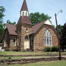
United Presbyterian Church of Canehill
165 m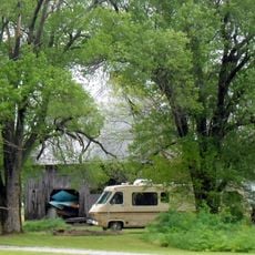
Mack Morton Barn
18.5 km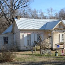
Zeb Edmiston House
88 m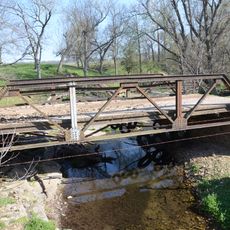
Rennic Road Bridge
19.4 kmVisited this place? Tap the stars to rate it and share your experience / photos with the community! Try now! You can cancel it anytime.
Discover hidden gems everywhere you go!
From secret cafés to breathtaking viewpoints, skip the crowded tourist spots and find places that match your style. Our app makes it easy with voice search, smart filtering, route optimization, and insider tips from travelers worldwide. Download now for the complete mobile experience.

A unique approach to discovering new places❞
— Le Figaro
All the places worth exploring❞
— France Info
A tailor-made excursion in just a few clicks❞
— 20 Minutes