Chest opened
+${chestReward.xp} XP
Explorer
NOUVEAU ×${chestReward.collectible.quantity}
tapez pour fermer

See the monuments around you in AR Open chests in the app

Around Us is built for your phone — point your camera at the streets and discover the monuments and places around you in augmented reality. Around Us is built for your phone — chests unlock when you walk, explore and capture nearby places.

Enable Location

We need your location to show you interesting places around you

Discover nearby places

Find interesting locations and hidden gems around you

Precise directions

Get accurate directions and distances to places

Your location is never shared with other users. It's only used when you tap the location button.

Log in to your account

Start exploring — it's free

Trusted by 87,083 travelers worldwide

Continue with Google
Continue with Apple
or

We will send you a code to connect

By continuing, you accept our Terms and Conditions and our Privacy Policy

Check your inbox

We've sent a pincode in your inbox. Please enter the code below.

Florida's 2nd congressional district
Discussion Reviews Photo
31.7k Popularity

Florida's 2nd congressional district, Congressional district in Florida Panhandle, United States.

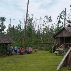
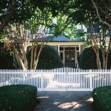
Florida's 2nd congressional district covers the northwestern portion of the state, encompassing numerous complete counties and parts of two others. The area combines rural communities, coastal regions, and several important urban centers.

The district was established after the 1840 Census as one of Florida's earliest congressional territories. Over time, its boundaries were redrawn multiple times to reflect population shifts.

The district is home to Tallahassee, where two major universities shape education and research in the region. These institutions draw students and professionals from across the area.

The district is split between Eastern and Central time zones, so visitors should check which zone applies when scheduling appointments. The region is lightly populated with large rural stretches, so plan for longer travel times between towns.

This territory has one of the lowest urban population percentages among all Florida congressional districts. This makes it predominantly rural with open countryside and smaller urban centers scattered throughout.

The community of curious travelers

AroundUs brings together thousands of curated places, local tips, and hidden gems, enriched daily by 60,000 contributors worldwide.
Start exploring
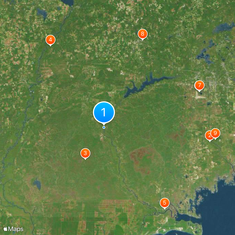
Location
GPS coordinates
30.28278,-84.73028
Latest update
September 12, 2026 07:24
Around this place
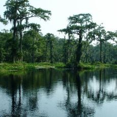
Wakulla Springs
United States of America

Wakulla Springs

25.7 mi
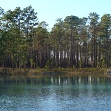
Apalachicola National Forest
United States of America

Apalachicola National Forest

8.9 mi
Torreya State Park
United States of America

Torreya State Park

23.7 mi
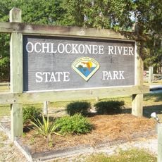
Ochlockonee River State Park
United States of America

Ochlockonee River State Park

24.5 mi
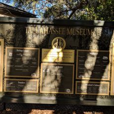
Tallahassee Museum
United States of America

Tallahassee Museum

24.6 mi
Tallahassee Museum Visitor Center
United States of America

Tallahassee Museum Visitor Center

24.7 mi
Leaf Theater
United States of America

Leaf Theater

23.2 mi
United States of America

Wakulla State Forest

27.1 mi
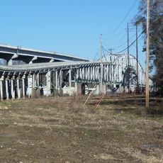
Trammell Bridge
United States of America

Trammell Bridge

19.4 mi
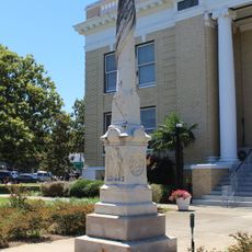
Gadsden Confederate Memorial
United States of America

Gadsden Confederate Memorial

23.1 mi
Quincy Library
United States of America

Quincy Library

23.2 mi
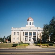
Old Calhoun County Courthouse
United States of America

Old Calhoun County Courthouse

21.7 mi
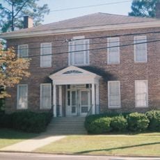
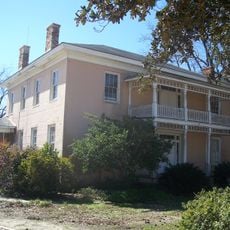
Dezell House
United States of America

Dezell House

19.7 mi
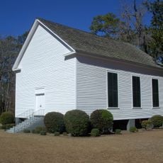
Old Philadelphia Presbyterian Church
United States of America

Old Philadelphia Presbyterian Church

26.6 mi
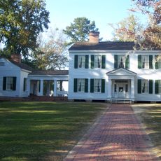
Willoughby Gregory House
United States of America

Willoughby Gregory House

20.3 mi
Old Wakulla County Courthouse
United States of America

Old Wakulla County Courthouse

22.4 mi
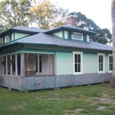
E. B. Shelfer House
United States of America

E. B. Shelfer House

23.2 mi
Quincy Historic District
United States of America

Quincy Historic District

23.3 mi
Judge P. W. White House
United States of America

Judge P. W. White House

23.2 mi
John Lee McFarlin House
United States of America

John Lee McFarlin House

23.3 mi
Quincy Woman's Club
United States of America

Quincy Woman's Club

23.1 mi
E. C. Love House
United States of America

E. C. Love House

23.1 mi
Stockton-Curry House
United States of America

Stockton-Curry House

23.2 mi
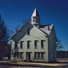
Gretna School
United States of America

Gretna School

23.6 mi
Mount Beasor Primitive Baptist Church
United States of America

Mount Beasor Primitive Baptist Church

18.4 mi
Torreya State Park
United States of America

Torreya State Park

20.5 mi
Mission San Luis
United States of America

Mission San Luis

27 mi
Panhandle Pioneer Settlement
United States of America

Panhandle Pioneer Settlement

23.7 mi
Show the full map
Reviews
Share your experience

No review yet

Discussions
Start a discussion...

No discussion yet

« Florida's 2nd congressional district - Congressional district in Florida Panhandle, United States » is provided by Around Us (aroundus.com). Images and texts are derived from Wikimedia project under a Creative Commons license. You are allowed to copy, distribute, and modify copies of this page, under the conditions set by the license, as long as this note is clearly visible.

Discover hidden gems everywhere you go!

From secret cafés to breathtaking viewpoints, skip the crowded tourist spots and find places that match your style. Our app makes it easy with voice search, smart filtering, route optimization, and insider tips from travelers worldwide. Download now for the complete mobile experience.
Around Us App Screenshot

A unique approach to discovering new places

Le Figaro

All the places worth exploring

France Info

A tailor-made excursion in just a few clicks

20 Minutes

Around Us
Travel Guide & Maps
Download

Send to your phone

QR Code
1

Open the camera app on your mobile.

2

Point at the QR code with your camera. A notification will appear.

3

Tap the notification to open the link.