Fort Blair

Log in to your account

AroundUs is a community-driven map of interesting places, built by curious explorers like you. It grows with every review, story, and photo you share.
Connect to save your favorite spots, contribute locations, and create personalized routes.
By continuing, you accept our Terms and Conditions and our Privacy Policy
Add to collection
Map
Suggest a change
Share

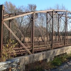
Fort Blair, Civil War fort in Baxter Springs, Kansas, US

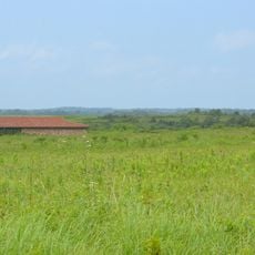
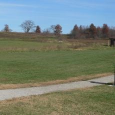
Fort Blair was a military installation in Baxter Springs with a central blockhouse and surrounding defensive cabins positioned along a supply route connecting Fort Smith and Fort Gibson. The structure followed the typical design pattern for fortifications of that era and region.

The fort was established in 1863 by General James G. Blunt and served as a key point in the Union's supply network. In October 1863, the garrison suffered a devastating attack that resulted in significant casualties.

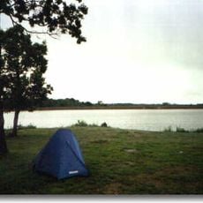
The fort served as a refuge for civilians driven from their homes during the border conflicts between Missouri and Kansas. It provided shelter for people caught in the violence of the region.

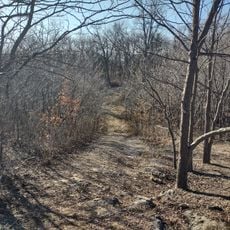
The site can be visited through the Baxter Springs Heritage Center and Museum on East Avenue, which displays artifacts and information about the fort's history. It helps to stop at the museum first to better understand the location before exploring the grounds.

During the October 1863 attack, the raiders wore Union uniforms to deceive the fort's defenders and gain entry undetected. This deceptive tactic proved highly effective in the assault.

Location: Kansas

GPS coordinates: 37.84310,-94.70360

Latest update: December 14, 2025 18:09

Photos
Around this place
Harry S Truman Birthplace State Historic Site
United States of America

Harry S Truman Birthplace State Historic Site

54.3 km
Prairie State Park
United States of America

Prairie State Park

38.6 km
Fort Scott National Cemetery
United States of America

Fort Scott National Cemetery

132 m
Osage Village State Historic Site
United States of America

Osage Village State Historic Site

46 km
Crawford State Park
United States of America

Crawford State Park

24.9 km
Allen County Jail
United States of America

Allen County Jail

62.1 km
Fort Carondelet
United States of America

Fort Carondelet

48.3 km
Marais des Cygnes National Wildlife Refuge
United States of America

Marais des Cygnes National Wildlife Refuge

42.8 km
Pittsburg Public Library
United States of America

Pittsburg Public Library

48.1 km
Girard Public Library
United States of America

Girard Public Library

39.1 km
Northrup House
United States of America

Northrup House

61.7 km
Landers Creek Bridge
United States of America

Landers Creek Bridge

54.9 km
Vernon County Courthouse
United States of America

Vernon County Courthouse

30.5 km
Bates County Courthouse
United States of America

Bates County Courthouse

55.3 km
Infirmary Building, Missouri State Hospital Number 3
United States of America

Infirmary Building, Missouri State Hospital Number 3

30.3 km
Papinville Marais des Cygnes River Bridge
United States of America

Papinville Marais des Cygnes River Bridge

48.4 km
First Presbyterian Church
United States of America

First Presbyterian Church

1.7 km
St. John's Episcopal Church
United States of America

St. John's Episcopal Church

39.3 km
First Presbyterian Church
United States of America

First Presbyterian Church

38.6 km
First Congregational Church
United States of America

First Congregational Church

999 m
Julius A. Wayland House
United States of America

Julius A. Wayland House

38 km
Linn County Courthouse
United States of America

Linn County Courthouse

34.6 km
State Street Bridge
United States of America

State Street Bridge

56 km
Mine Creek Bridge
United States of America

Mine Creek Bridge

33.2 km
State Bank of Girard
United States of America

State Bank of Girard

39.1 km
Long Shoals Bridge
United States of America

Long Shoals Bridge

18.3 km
Butler Aquatic Center
United States of America

Butler Aquatic Center

54.7 km
Marais des Cygnes Massacre Site
United States of America

Marais des Cygnes Massacre Site

49.3 km
Show the full map
Reviews

Visited this place? Tap the stars to rate it and share your experience / photos with the community! Try now! You can cancel it anytime.

« Fort Blair - Civil War fort in Baxter Springs, Kansas, US » is provided by Around Us (aroundus.com). Images and texts are derived from Wikimedia project under a Creative Commons license. You are allowed to copy, distribute, and modify copies of this page, under the conditions set by the license, as long as this note is clearly visible.

Discover hidden gems everywhere you go!

From secret cafés to breathtaking viewpoints, skip the crowded tourist spots and find places that match your style. Our app makes it easy with voice search, smart filtering, route optimization, and insider tips from travelers worldwide. Download now for the complete mobile experience.

Around Us App Screenshot

A unique approach to discovering new places

Le Figaro

All the places worth exploring

France Info

A tailor-made excursion in just a few clicks

20 Minutes