Enable Location

We need your location to show you interesting places around you

Discover nearby places

Find interesting locations and hidden gems around you

Precise directions

Get accurate directions and distances to places

Your location is never shared with other users. It's only used when you tap the location button.

Frederik Meijer Trail

Log in to your account

Start exploring — it's free

Trusted by 63,651 travelers worldwide

Continue with Google
Continue with Apple
or

We will send you a code to connect

By continuing, you accept our Terms and Conditions and our Privacy Policy

Check your inbox

We've sent a pincode in your inbox. Please enter the code below.

Frederik Meijer Trail
Discussion Reviews 1 Photos
1.5k Popularity

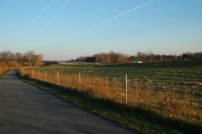
Frederik Meijer Trail, formerly the M-6 Trail, a bike trail running along the M-6 freeway in the Grand Rapids, Michigan area

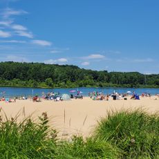
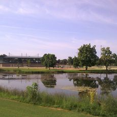
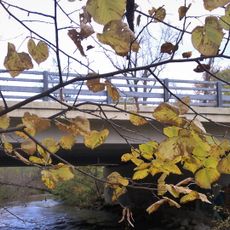
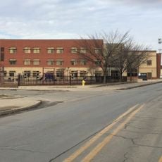
The Frederik Meijer Trail is a paved path in Walker, Michigan, stretching about 6.5 miles and connecting neighborhoods with parks and schools. The route runs flat and straight, often alongside the M-6 freeway, with wooden bridges over small streams and a tunnel under a major road.

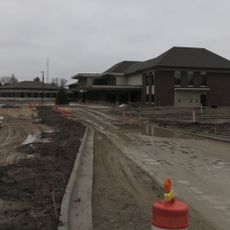
Construction began in 2008 to connect larger trail systems, driven by local leadership seeking to integrate the path into regional plans. The project was funded through federal grants and foundation support, with sections opening in phases over several years.

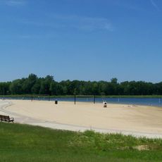
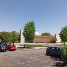
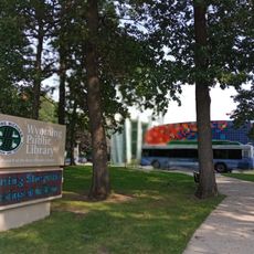
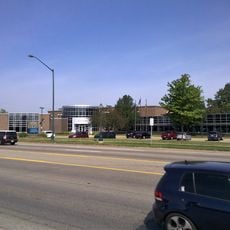
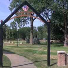
The trail is easily reached from nearby neighborhoods with parking available at several points including City Central Park and Lincoln Lawns Park. It remains open year-round and can be used for snowshoeing or cross-country skiing during winter months.

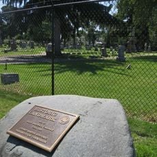
A ghostbike memorial marks a fatal 2011 accident where a cyclist was struck at a railway crossing, prompting upgraded safety signals and trail rerouting. The site serves as a reminder of the importance of caution when using the path.

The community of curious travelers

AroundUs brings together thousands of curated places, local tips, and hidden gems, enriched daily by 60,000 contributors worldwide.

Start exploring
Location
GPS coordinates
42.85350,-85.71740
Latest update
February 9, 2026 08:18
Around this place
Grand Castle
United States of America

Grand Castle

7.8 km
Norton Mound Group
United States of America

Norton Mound Group

9.3 km
Millennium Park
United States of America

Millennium Park

9.8 km
Millennium Park Beach
United States of America

Millennium Park Beach

9.7 km
Islamic Center and Mosque of Grand Rapids
United States of America

Islamic Center and Mosque of Grand Rapids

10.6 km
Metal Office Furniture Company Plants No. 2 and 3
United States of America

Metal Office Furniture Company Plants No. 2 and 3

10.4 km
Byron Area Historic Museum
United States of America

Byron Area Historic Museum

4.8 km
Old Grand Rapids Christian High School
United States of America

Old Grand Rapids Christian High School

11.6 km
Division Avenue–Plaster Creek Bridge
United States of America

Division Avenue–Plaster Creek Bridge

8.3 km
Business Route M-21–Plaster Creek Bridge
United States of America

Business Route M-21–Plaster Creek Bridge

9.5 km
Mill Race Park
United States of America

Mill Race Park

6.2 km
4 Star Theatre
United States of America

4 Star Theatre

9.3 km
Southlawn Theater
United States of America

Southlawn Theater

6 km
Grandville Branch Library
United States of America

Grandville Branch Library

7.1 km
One Hundred Twenty-Sixth Infantry Historical Marker
United States of America

One Hundred Twenty-Sixth Infantry Historical Marker

4 km
Madison Square Branch Library
United States of America

Madison Square Branch Library

10.8 km
Georgetown Township Public Library
United States of America

Georgetown Township Public Library

10.3 km
Saint Andrew's Cemetery Historical Marker
United States of America

Saint Andrew's Cemetery Historical Marker

11.5 km
Burton Capri Theater
United States of America

Burton Capri Theater

9.2 km
Seymour Branch Library
United States of America

Seymour Branch Library

9.4 km
Kentwood Branch
United States of America

Kentwood Branch

10.1 km
Lamar Park pond
United States of America

Lamar Park pond

7.9 km
Division Avenue–Plaster Creek Bridge
United States of America

Division Avenue–Plaster Creek Bridge

8.3 km
Wyoming Branch
United States of America

Wyoming Branch

5.8 km
Wyoming-MI City Hall
United States of America

Wyoming-MI City Hall

6.8 km
Wyoming Veterans Memorial Garden
United States of America

Wyoming Veterans Memorial Garden

7.9 km
Cook Library Center
United States of America

Cook Library Center

10.4 km
Cesar E. Chavez Elementary School
United States of America

Cesar E. Chavez Elementary School

10.2 km
Show the full map
Reviews
Share your experience

No review yet

Discussions
Start a discussion...

No discussion yet

« Frederik Meijer Trail - formerly the M-6 Trail, a bike trail running along the M-6 freeway in the Grand Rapids, Michigan area » is provided by Around Us (aroundus.com). Images and texts are derived from Wikimedia project under a Creative Commons license. You are allowed to copy, distribute, and modify copies of this page, under the conditions set by the license, as long as this note is clearly visible.

Discover hidden gems everywhere you go!

From secret cafés to breathtaking viewpoints, skip the crowded tourist spots and find places that match your style. Our app makes it easy with voice search, smart filtering, route optimization, and insider tips from travelers worldwide. Download now for the complete mobile experience.

Around Us App Screenshot

A unique approach to discovering new places

Le Figaro

All the places worth exploring

France Info

A tailor-made excursion in just a few clicks

20 Minutes

Around Us
Travel Guide & Maps
Download

Send to your phone

QR Code
1

Open the camera app on your mobile.

2

Point at the QR code with your camera. A notification will appear.

3

Tap the notification to open the link.