Enable Location

We need your location to show you interesting places around you

Discover nearby places

Find interesting locations and hidden gems around you

Precise directions

Get accurate directions and distances to places

Your location is never shared with other users. It's only used when you tap the location button.

Grand Rapids metropolitan area

Log in to your account

Start exploring — it's free

Trusted by 68,207 travelers worldwide

Continue with Google
Continue with Apple
or

We will send you a code to connect

By continuing, you accept our Terms and Conditions and our Privacy Policy

Check your inbox

We've sent a pincode in your inbox. Please enter the code below.

Grand Rapids metropolitan area
Discussion Reviews 2 Photos
35.2k Popularity

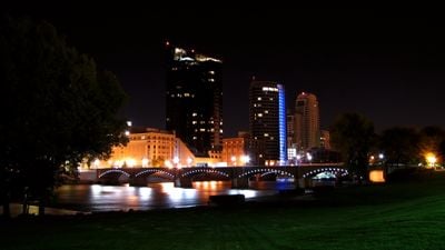
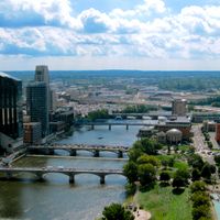
Grand Rapids metropolitan area, Metropolitan statistical area in Western Michigan, United States.

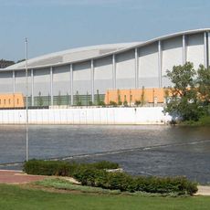
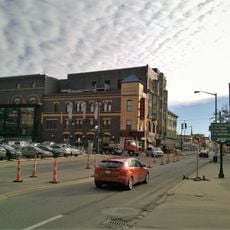
The Grand Rapids metropolitan area covers five counties in a triangular region stretching toward Muskegon and Holland. The landscape blends urban centers with access to lakes and rural communities.

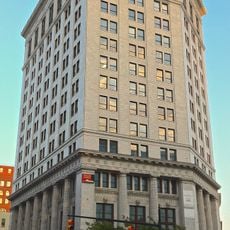
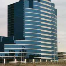
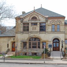
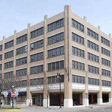
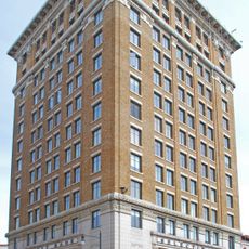
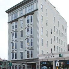
The region grew from 19th-century furniture manufacturing into Michigan's second-largest metropolitan area. This shift reflects how industrial centers adapted and diversified over time.

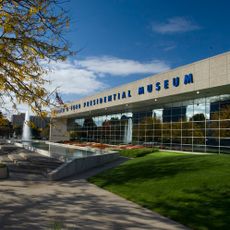
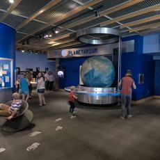
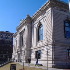
Art galleries and theaters are woven throughout the area, giving creative spaces and performances a visible role in daily life. Educational institutions like Grand Valley State University anchor cultural activities that draw people from surrounding towns.

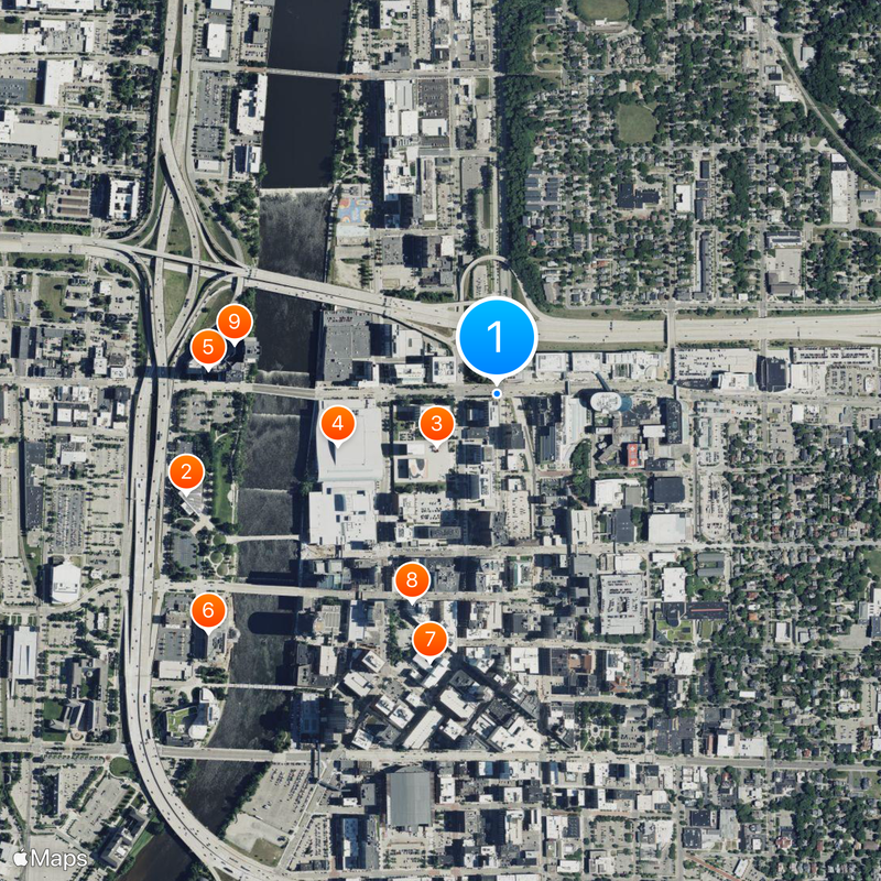
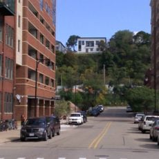
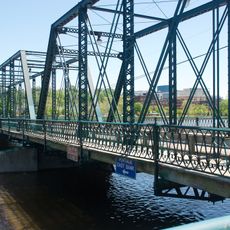
Highways connect the different parts of the area, making it easy to move between cities and lakes. Public transportation supplements road access for travelers moving around without a car.

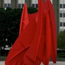
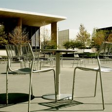
Frederik Meijer Gardens combines gardens with contemporary sculpture in a way that surprises many visitors. The region also developed a strong reputation for craft breweries that draw people interested in local beer production.

The community of curious travelers

AroundUs brings together thousands of curated places, local tips, and hidden gems, enriched daily by 60,000 contributors worldwide.

Start exploring
Location
Elevation above the sea
222 m
Part of
Grand Rapids-Kentwood-Muskegon, MI Combined Statistical Area
GPS coordinates
42.97030,-85.66910
Latest update
March 5, 2026 16:38
Around this place
Gerald R. Ford Presidential Museum
United States of America

Gerald R. Ford Presidential Museum

718 m
La Grande Vitesse
United States of America

La Grande Vitesse

175 m
DeVos Place
United States of America

DeVos Place

368 m
River House Condominiums
United States of America

River House Condominiums

638 m
Public Museum of Grand Rapids
United States of America

Public Museum of Grand Rapids

823 m
Grand Rapids Art Museum
United States of America

Grand Rapids Art Museum

604 m
McKay Tower
United States of America

McKay Tower

493 m
Bridgewater Place, Grand Rapids
United States of America

Bridgewater Place, Grand Rapids

589 m
Grand Rapids Civic Theatre & School of Theatre Arts
United States of America

Grand Rapids Civic Theatre & School of Theatre Arts

680 m
Roger B. Chaffee Planetarium
United States of America

Roger B. Chaffee Planetarium

823 m
Belknap Hill
United States of America

Belknap Hill

429 m
Sixth Street Bridge
United States of America

Sixth Street Bridge

817 m
Ryerson Library
United States of America

Ryerson Library

686 m
Kent County Civil War Monument
United States of America

Kent County Civil War Monument

772 m
Ledyard Block Historic District
United States of America

Ledyard Block Historic District

511 m
Ladies' Literary Club
United States of America

Ladies' Literary Club

886 m
Eliphalet H. Turner House
United States of America

Eliphalet H. Turner House

901 m
Keeler Building
United States of America

Keeler Building

600 m
Michigan Trust Company Building
United States of America

Michigan Trust Company Building

472 m
The Lofts Apartments
United States of America

The Lofts Apartments

932 m
Grand Rapids Savings Bank Building
United States of America

Grand Rapids Savings Bank Building

653 m
Loraine Building
United States of America

Loraine Building

857 m
Vandenberg Center Historical Marker
United States of America

Vandenberg Center Historical Marker

388 m
Sixth Street Bridge Historical Marker
United States of America

Sixth Street Bridge Historical Marker

798 m
First (Park) Congregational Church Historical Marker
United States of America

First (Park) Congregational Church Historical Marker

813 m
McCabe-Marlowe House Historical Marker
United States of America

McCabe-Marlowe House Historical Marker

852 m
Furniture Industry Historical Marker
United States of America

Furniture Industry Historical Marker

828 m
Swift Printing historical brick building
United States of America

Swift Printing historical brick building

833 m
Show the full map
Reviews
Share your experience

No review yet

Discussions
Start a discussion...

No discussion yet

Administrative divisions
« Grand Rapids metropolitan area - Metropolitan statistical area in Western Michigan, United States » is provided by Around Us (aroundus.com). Images and texts are derived from Wikimedia project under a Creative Commons license. You are allowed to copy, distribute, and modify copies of this page, under the conditions set by the license, as long as this note is clearly visible.

Discover hidden gems everywhere you go!

From secret cafés to breathtaking viewpoints, skip the crowded tourist spots and find places that match your style. Our app makes it easy with voice search, smart filtering, route optimization, and insider tips from travelers worldwide. Download now for the complete mobile experience.

Around Us App Screenshot

A unique approach to discovering new places

Le Figaro

All the places worth exploring

France Info

A tailor-made excursion in just a few clicks

20 Minutes

Around Us
Travel Guide & Maps
Download

Send to your phone

QR Code
1

Open the camera app on your mobile.

2

Point at the QR code with your camera. A notification will appear.

3

Tap the notification to open the link.