Graniteville Historic District

Log in to your account

AroundUs is a community-driven map of interesting places, built by curious explorers like you. It grows with every review, story, and photo you share.
Connect to save your favorite spots, contribute locations, and create personalized routes.
Continue with Google
Continue with Apple
Continue with X
Continue with Facebook
Continue with email
By continuing, you accept our Terms and Conditions and our Privacy Policy
Create an account
Add to collection
Map
Suggest a change
Share

Graniteville Historic District, Industrial historic district in Westford, Massachusetts.

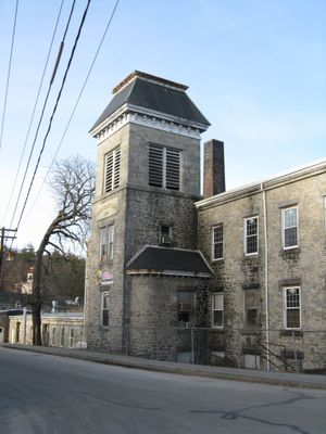
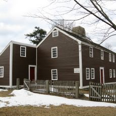
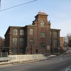
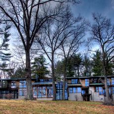
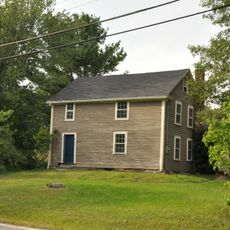
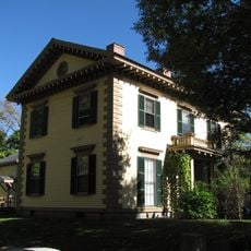
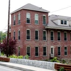
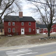
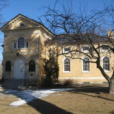
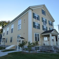
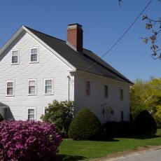
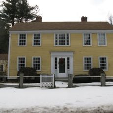
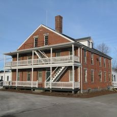
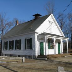
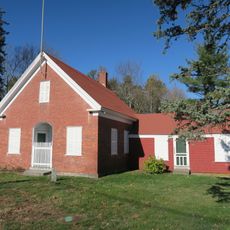
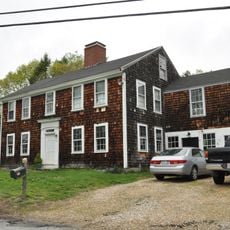
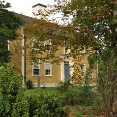
Graniteville Historic District is an industrial neighborhood in Westford featuring mill buildings, worker housing, and remnants of former stone quarries spread across multiple street blocks. The structures range in age and style, arranged along the main thoroughfares that once connected the workplace to residential areas.

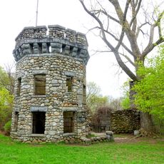
Stone quarrying started here first, then a mill was established in 1847 when the railroad arrived, transforming the area from simple extraction to a complete industrial operation. This combination of transportation and manufacturing made the neighborhood develop rapidly into a small industrial center.

The buildings show construction styles that workers and factory owners favored during the 1800s, reflecting how the community was built around industrial work. Walking through, you notice how the architecture shapes the way people once moved between homes and workplaces.

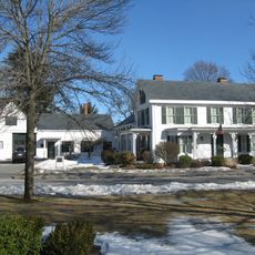
Walking is the best way to explore, starting from one of the main streets like River Street or North Main Street, which provide good landmarks to navigate by. The different areas are close together, making it easy to move around freely at a comfortable pace.

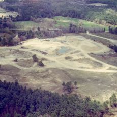
The granite quarries that gave this place its name are still visible as open areas and depressions in the land, marking where stone was extracted before the mill arrived. These quiet scars in the landscape tell the story of heavy extraction work that shaped the land long before factories.

Location: Massachusetts

GPS coordinates: 42.59500,-71.47000

Latest update: December 14, 2025 15:01

Photos
Around this place
Haystack Observatory
United States of America

Haystack Observatory

3.5 km
Bancroft's castle
United States of America

Bancroft's castle

7.5 km
Millstone Hill Antenna
United States of America

Millstone Hill Antenna

3 km
Old Chelmsford Garrison House
United States of America

Old Chelmsford Garrison House

6.7 km
Forge Village Historic District
United States of America

Forge Village Historic District

1.9 km
Indian Hill House
United States of America

Indian Hill House

7.1 km
Charles-George Reclamation Trust Landfill
United States of America

Charles-George Reclamation Trust Landfill

8.1 km
John Proctor House
United States of America

John Proctor House

5.9 km
Gov. George S. Boutwell House
United States of America

Gov. George S. Boutwell House

8.4 km
Millstone Hill Observatory
United States of America

Millstone Hill Observatory

3.2 km
Brookside Historic District
United States of America

Brookside Historic District

5.1 km
Hildreth-Robbins House
United States of America

Hildreth-Robbins House

7.8 km
Reed-Wood Place
United States of America

Reed-Wood Place

5.4 km
Houghton Memorial Building
United States of America

Houghton Memorial Building

6.4 km
North Town Hall
United States of America

North Town Hall

8.7 km
Barrett-Byam Homestead
United States of America

Barrett-Byam Homestead

8.3 km
Oliver Hutchins House
United States of America

Oliver Hutchins House

8.4 km
Westford Town Farm
United States of America

Westford Town Farm

1.2 km
Fairview Cemetery
United States of America

Fairview Cemetery

4.2 km
Parker Village Historic District
United States of America

Parker Village Historic District

6.7 km
Sandy Pond School
United States of America

Sandy Pond School

7 km
Westford Center Historic District
United States of America

Westford Center Historic District

3 km
Wright Cemetery
United States of America

Wright Cemetery

1.6 km
Jonathon Keyes Sr. House
United States of America

Jonathon Keyes Sr. House

5.4 km
First Parish Church of Groton
United States of America

First Parish Church of Groton

8.1 km
District 7 School
United States of America

District 7 School

7.6 km
Bennett-Shattuck House
United States of America

Bennett-Shattuck House

6.1 km
Henry Fletcher House
United States of America

Henry Fletcher House

6 km
Show the full map
Reviews

Visited this place? Tap the stars to rate it and share your experience / photos with the community! Try now! You can cancel it anytime.

« Graniteville Historic District - Industrial historic district in Westford, Massachusetts » is provided by Around Us (aroundus.com). Images and texts are derived from Wikimedia project under a Creative Commons license. You are allowed to copy, distribute, and modify copies of this page, under the conditions set by the license, as long as this note is clearly visible.

Discover hidden gems everywhere you go!

From secret cafés to breathtaking viewpoints, skip the crowded tourist spots and find places that match your style. Our app makes it easy with voice search, smart filtering, route optimization, and insider tips from travelers worldwide. Download now for the complete mobile experience.

Around Us App Screenshot

A unique approach to discovering new places

Le Figaro

All the places worth exploring

France Info

A tailor-made excursion in just a few clicks

20 Minutes