Chest opened
+${chestReward.xp} XP
Explorer
NOUVEAU ×${chestReward.collectible.quantity}
tapez pour fermer
Chest locked

Open chests in the app

Around Us is built for your phone — chests unlock when you walk, explore and capture nearby places.

Enable Location

We need your location to show you interesting places around you

Discover nearby places

Find interesting locations and hidden gems around you

Precise directions

Get accurate directions and distances to places

Your location is never shared with other users. It's only used when you tap the location button.

Sewell

Log in to your account

Start exploring — it's free

Trusted by 72,874 travelers worldwide

Continue with Google
Continue with Apple
or

We will send you a code to connect

By continuing, you accept our Terms and Conditions and our Privacy Policy

Check your inbox

We've sent a pincode in your inbox. Please enter the code below.

Discussion Reviews 2 Photos
22.3k Popularity

Sewell, unincorporated community in New Jersey, United States of America

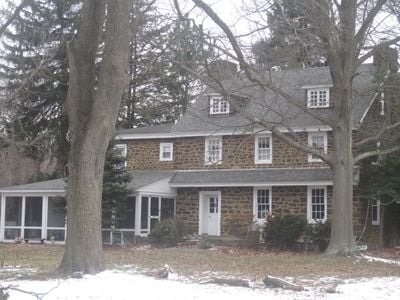
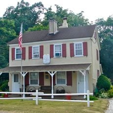
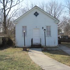
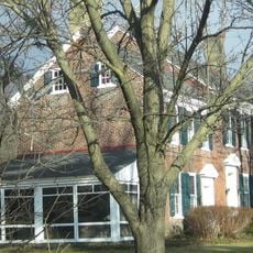
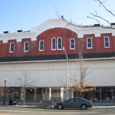
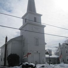
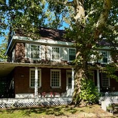
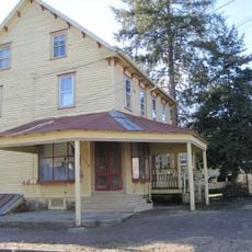
Sewell is an unincorporated community in Mantua Township, New Jersey, sitting along the border between Gloucester and Salem counties. The area is made up of residential neighborhoods and local businesses connected by a network of roads.

Sewell developed as a suburban community during the mid-20th century, shaped largely by Philadelphia's growth and improved road access into southern New Jersey. Families looking to live outside the city moved into the area as housing developments expanded along key routes.

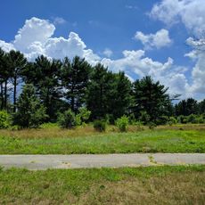
A car is the most practical way to get around Sewell, as there is no central area and everything is spread along local roads. It is worth planning specific stops in advance since the community is largely residential and not set up for casual walking visits.

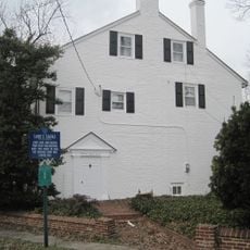
Sewell sits on the boundary between two counties, meaning some streets cross from one county into another within a short stretch of road. This split location can make local addresses and services feel unusually divided for such a small community.

The community of curious travelers

AroundUs brings together thousands of curated places, local tips, and hidden gems, enriched daily by 60,000 contributors worldwide.

Start exploring
Location
Elevation above the sea
20 m
GPS coordinates
39.76640,-75.14440
Latest update
March 3, 2026 10:13
Around this place
Pitman Grove
United States of America

Pitman Grove

4.1 km
Gabreil Daveis Tavern House
United States of America

Gabreil Daveis Tavern House

10.6 km
Whitney Mansion
United States of America

Whitney Mansion

7.1 km
Chew-Powell House
United States of America

Chew-Powell House

7.4 km
Tall Pines State Preserve
United States of America

Tall Pines State Preserve

1.3 km
Ladd's Castle
United States of America

Ladd's Castle

10.1 km
Solomon Wesley United Methodist Church
United States of America

Solomon Wesley United Methodist Church

8.9 km
Jesse Chew House
United States of America

Jesse Chew House

909 m
Woodbury Friends' Meetinghouse
United States of America

Woodbury Friends' Meetinghouse

8.3 km
Bodo Otto House
United States of America

Bodo Otto House

8.7 km
George Jr. and Sarah Morgan House
United States of America

George Jr. and Sarah Morgan House

4.5 km
Carpenter Street School
United States of America

Carpenter Street School

7.3 km
Benjamin Clark House
United States of America

Benjamin Clark House

2.2 km
St. Thomas Episcopal Church
United States of America

St. Thomas Episcopal Church

7.1 km
St. John's Episcopal Church and Burying Ground
United States of America

St. John's Episcopal Church and Burying Ground

10.1 km
G. G. Green's Block
United States of America

G. G. Green's Block

7.8 km
St. Peter's Episcopal Church
United States of America

St. Peter's Episcopal Church

7.8 km
James Whitall Jr. House
United States of America

James Whitall Jr. House

11.3 km
Thompson House
United States of America

Thompson House

7.6 km
Richwood Methodist Church
United States of America

Richwood Methodist Church

5.3 km
Hunter-Lawrence-Jessup House
United States of America

Hunter-Lawrence-Jessup House

8.1 km
Upper Greenwich Friends Meetinghouse
United States of America

Upper Greenwich Friends Meetinghouse

8.6 km
Christ Episcopal Church, Woodbury, New Jersey
United States of America

Christ Episcopal Church, Woodbury, New Jersey

8.2 km
Memorial Presbyterian Church
United States of America

Memorial Presbyterian Church

2.8 km
Funcity Adventure Park
United States of America

Funcity Adventure Park

8.7 km
Red Bank Battlefield Park
United States of America

Red Bank Battlefield Park

11.3 km
Broadway Theatre
United States of America

Broadway Theatre

4 km
Mullica Hill Historic District
United States of America

Mullica Hill Historic District

7.7 km
Show the full map
Reviews
Share your experience

No review yet

Discussions
Start a discussion...

No discussion yet

« Sewell - unincorporated community in New Jersey, United States of America » is provided by Around Us (aroundus.com). Images and texts are derived from Wikimedia project under a Creative Commons license. You are allowed to copy, distribute, and modify copies of this page, under the conditions set by the license, as long as this note is clearly visible.

Discover hidden gems everywhere you go!

From secret cafés to breathtaking viewpoints, skip the crowded tourist spots and find places that match your style. Our app makes it easy with voice search, smart filtering, route optimization, and insider tips from travelers worldwide. Download now for the complete mobile experience.

Around Us App Screenshot

A unique approach to discovering new places

Le Figaro

All the places worth exploring

France Info

A tailor-made excursion in just a few clicks

20 Minutes

Around Us
Travel Guide & Maps
Download

Send to your phone

QR Code
1

Open the camera app on your mobile.

2

Point at the QR code with your camera. A notification will appear.

3

Tap the notification to open the link.