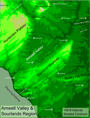
Hunterdon Plateau, Geological formation in western Hunterdon County, New Jersey, United States.
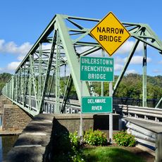
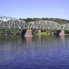
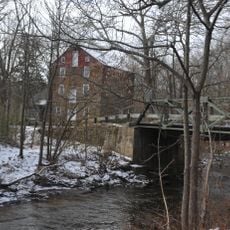
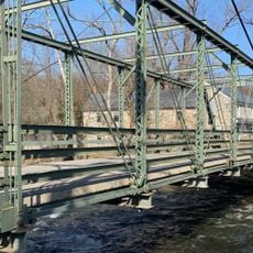
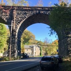
The Hunterdon Plateau is a highland area in western New Jersey that stretches between mountain ranges and the Delaware River, featuring gently rolling terrain. The landscape combines meadows, farmland, and wooded sections across several communities.
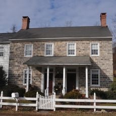
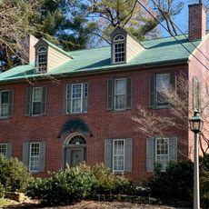
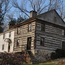
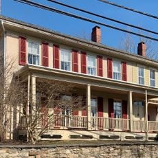
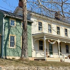
The plateau was settled starting in the 18th century when European colonists established farms and cleared forests to create agricultural land. This transformation became the foundation for the region's character today.
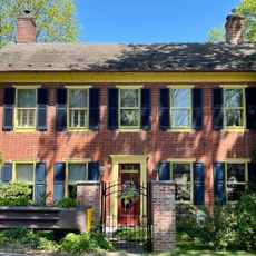
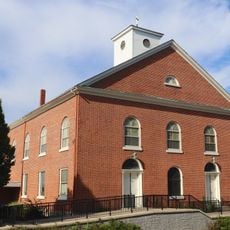
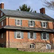
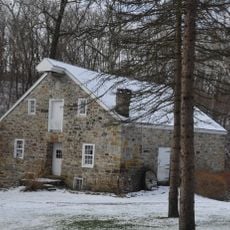
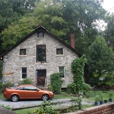
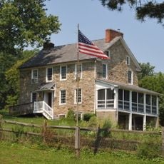
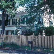
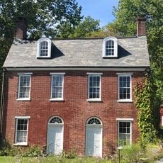
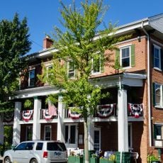
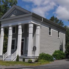
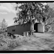
The region displays its farming roots through preserved farmhouses and stone buildings scattered across the landscape, showing how settlers once lived and worked here. Walking through the area today, you can still sense the connection between people and the land that defined this place for centuries.
The area is easy to navigate and offers multiple routes to explore the farmland landscape, with good connections to nearby towns. It is best visited during warmer months when the terrain is accessible and roads are in good condition.
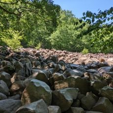
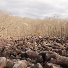
The Milford Bluffs area contains prickly pear cactus plants, an unexpected sight in the northeastern United States. These plants thrive in a surprisingly warm microclimate created by the terrain and soil conditions.
The community of curious travelers
AroundUs brings together thousands of curated places, local tips, and hidden gems, enriched daily by 60,000 contributors worldwide.