Trujillo Alto barrio-pueblo, historical center and municipality seat of Trujillo Alto, Puerto Rico
Location: Trujillo Alto
Elevation above the sea: 22 m
GPS coordinates: 18.35420,-66.00690
Latest update: April 10, 2025 22:33
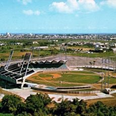
Hiram Bithorn Stadium
9.9 km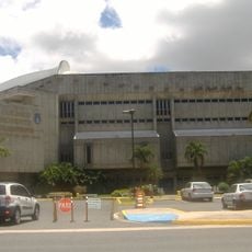
Roberto Clemente Coliseum
10 km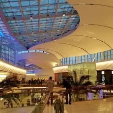
The Mall of San Juan
6.7 km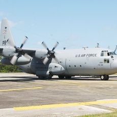
Muñiz Air National Guard Base
9.5 km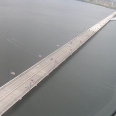
Teodoro Moscoso Bridge
8 km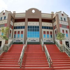
Roberto Clemente Stadium
6.6 km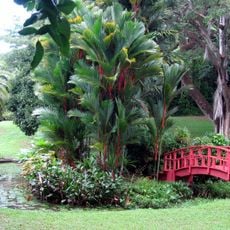
San Juan Botanical Garden
6.5 km
Piñones State Forest
10.9 km
Casa Klumb
6 kmRoosevelt Tower
7.1 km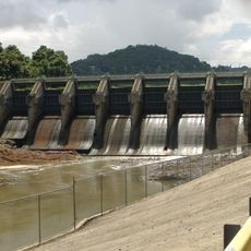
Carraízo Dam
3.1 kmOld Piedras River Aqueduct
6.7 km
Martín Peña Bridge
10.4 km
Río Piedras Mosque
6.4 km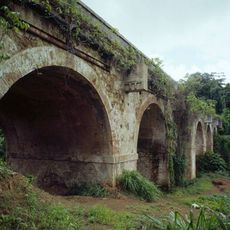
General Norzagaray Bridge
8.9 km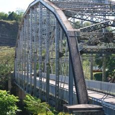
Puente de Trujillo Alto
602 m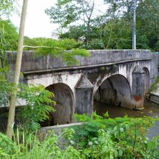
Río Piedras Bridge
6.8 km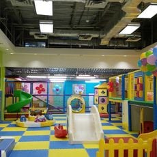
Just 4 Fun
5.5 km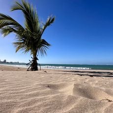
Balneario de Carolina
10.5 km
Puente No. 6
8.5 km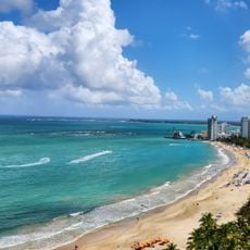
Isla Verde Beach
10.1 km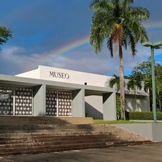
Museo de Historia, Antropología y Arte
7.3 km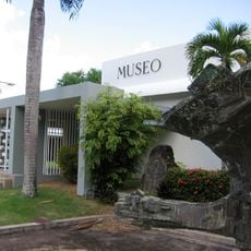
Museo de Historia, Antropología y Arte (Universidad de Puerto Rico)
7.3 km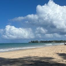
Balneario Isla Verde
10.6 km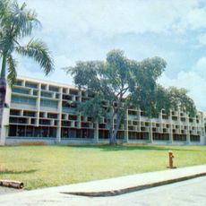
José M. Lázaro Library
7.2 km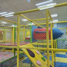
Kidz City
9.6 km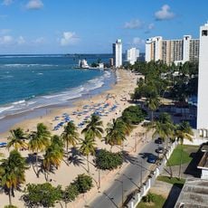
El Alambique Beach
10.2 km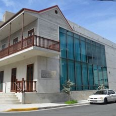
Casa de la Cultura
59 mVisited this place? Tap the stars to rate it and share your experience / photos with the community! Try now! You can cancel it anytime.
Discover hidden gems everywhere you go!
From secret cafés to breathtaking viewpoints, skip the crowded tourist spots and find places that match your style. Our app makes it easy with voice search, smart filtering, route optimization, and insider tips from travelers worldwide. Download now for the complete mobile experience.

A unique approach to discovering new places❞
— Le Figaro
All the places worth exploring❞
— France Info
A tailor-made excursion in just a few clicks❞
— 20 Minutes