Lind-Bohanon, neighborhood of Minneapolis, Minnesota, United States
Location: Minneapolis
Shares border with: Shingle Creek
GPS coordinates: 45.04400,-93.29200
Latest update: March 2, 2025 23:11
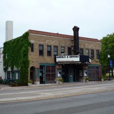
Heights Theater
3.6 km
Victory Memorial Parkway
2.3 km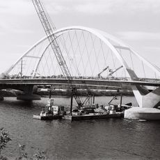
Lowry Avenue Bridge
3.7 km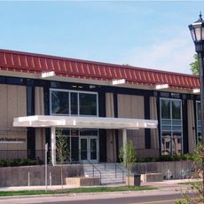
North Regional Library
3.5 km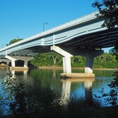
Camden Bridge
1.5 km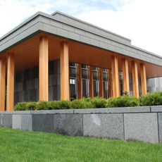
Webber Park Library
992 m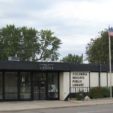
Columbia Heights Public Library
3.3 km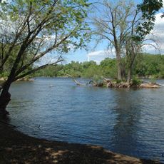
North Mississippi Regional Park
725 m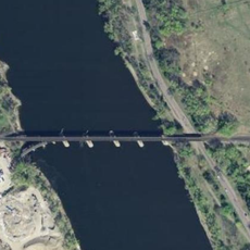
Canadian Pacific Camden Place Rail Bridge
1.8 km
Brookdale Library
2.9 km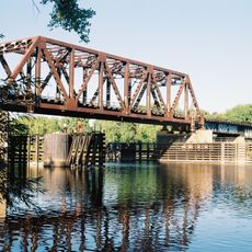
Northern Pacific-BNSF Minneapolis Rail Bridge
4.6 km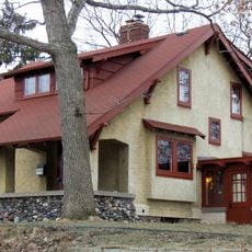
Lawrence A. and Mary Fournier House
3.2 km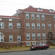
North East Neighborhood House
4.5 km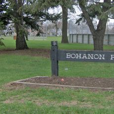
Bohanon Park
144 m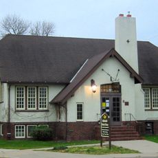
Robbinsdale Library
4.2 km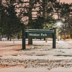
Webber Park
1.1 km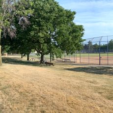
Spanjers Park
3.7 km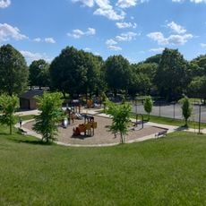
Cavell Park
4.2 km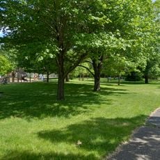
Marshall Terrace Park
3.3 km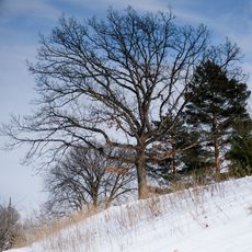
Deming Heights Park
4.4 km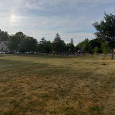
Glen Gale Park
4.5 km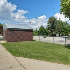
Bottineau Field Park
4.4 km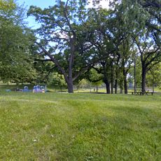
Columbia Park
3.5 km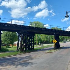
Soo Line Bridge
3.2 km
Audubon Park
4.8 km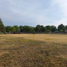
Jordan Park
3.8 km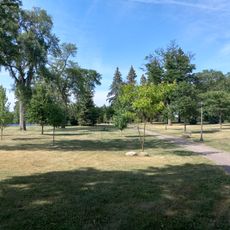
Folwell Park
2.5 km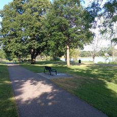
Thomas Hollingsworth Park
3.3 kmVisited this place? Tap the stars to rate it and share your experience / photos with the community! Try now! You can cancel it anytime.
Discover hidden gems everywhere you go!
From secret cafés to breathtaking viewpoints, skip the crowded tourist spots and find places that match your style. Our app makes it easy with voice search, smart filtering, route optimization, and insider tips from travelers worldwide. Download now for the complete mobile experience.

A unique approach to discovering new places❞
— Le Figaro
All the places worth exploring❞
— France Info
A tailor-made excursion in just a few clicks❞
— 20 Minutes