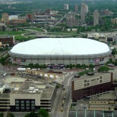
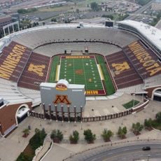
Minneapolis, Metropolitan center in Minnesota, United States
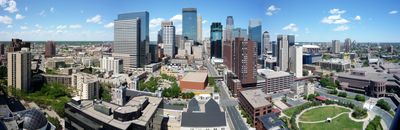
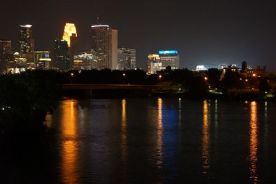
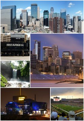
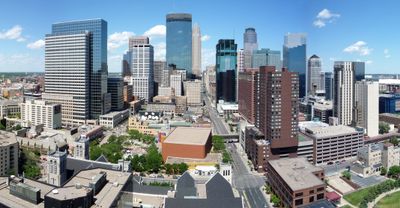
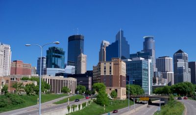
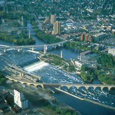
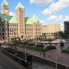
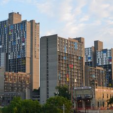
Minneapolis is a large city in Minnesota, United States, stretching along both banks of the Mississippi River with neighborhoods separated by lakes and parkland. Downtown rises near Saint Anthony Falls, while residential and commercial districts extend outward in all directions.
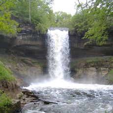
The place grew around Saint Anthony Falls during the 1850s, transforming from a lumber and flour milling center into a major metro region. Waves of immigrants from Europe and later from other continents shaped neighborhoods and traditions over the decades.
Residents spend time around neighborhood lakes throughout the year, swimming and paddling in summer or walking along the frozen shores in winter. Farmers markets and outdoor festivals fill public spaces during warmer months, drawing people from across the metro area.
Metro Transit runs light rail and bus lines connecting downtown with residential areas and the international airport, making most neighborhoods accessible without a car. Winters bring heavy snow and temperatures well below freezing, while summers are warm and humid, so plan clothing accordingly throughout the year.
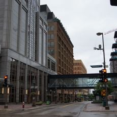
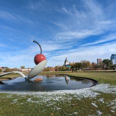
The Skyway System contains 9.5 miles (15 km) of enclosed pedestrian bridges linking 80 city blocks above street level, offering shelter from winter cold. More than 20 lakes sit within city limits, many of them ringed by trails and beaches that remain accessible year-round.
The community of curious travelers
AroundUs brings together thousands of curated places, local tips, and hidden gems, enriched daily by 60,000 contributors worldwide.