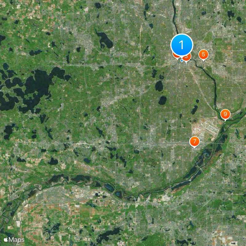
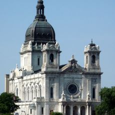
Hennepin County, Administrative county in Minneapolis metropolitan area, United States
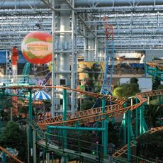
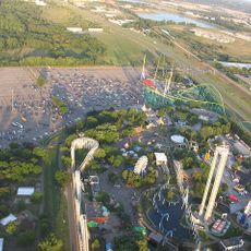
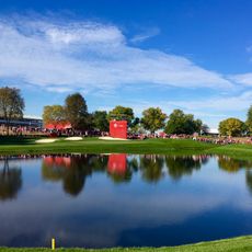
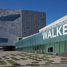
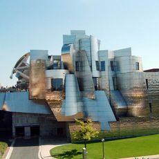
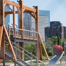
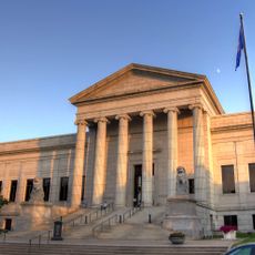
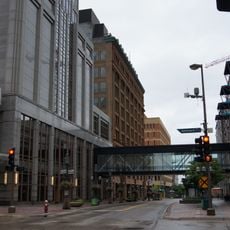
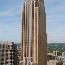
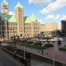
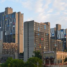
Hennepin County is an administrative district in Minnesota that includes Minneapolis and many suburbs, along with numerous lakes and river sections that run through the territory. The county is divided into smaller municipalities and neighborhoods, from dense urban core to quieter residential areas on the edge of the metro, all connected by roads and public transit systems.
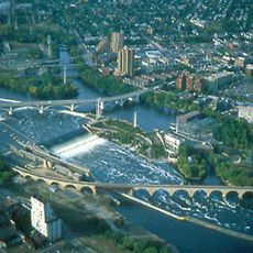
The territory was officially organized as a county in 1852, when Minnesota was still a territorial government under federal administration rather than a state. Over the following decades, the region grew through lumber trade, milling operations, and later railroad connections into an economic hub of the upper Midwest.
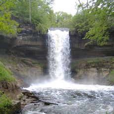
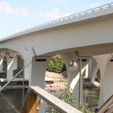
The county is named for Father Louis Hennepin, a 17th-century Belgian missionary who first described the river falls to Europeans. Local residents today use the parks along this waterway for cycling, walking, and picnicking, especially on summer weekends when families fill picnic areas and recreation spaces.
Travelers can move through the area by bus, commuter train, or personal vehicle, with public transit working best in the inner urban zone. Roads can be snowy during winter months, so visitors should prepare for slippery conditions and reduced visibility during cold weather.
The original waterfall that Father Hennepin saw no longer exists in its natural form, having been altered in the 19th century by dams and channels built for mills. The river section remains a popular spot for walking, with viewpoints and historical markers along the riverside paths.
The community of curious travelers
AroundUs brings together thousands of curated places, local tips, and hidden gems, enriched daily by 60,000 contributors worldwide.